Additional Information
Additional Lease Restrictions
Check with county
Additional Parcels YN
false
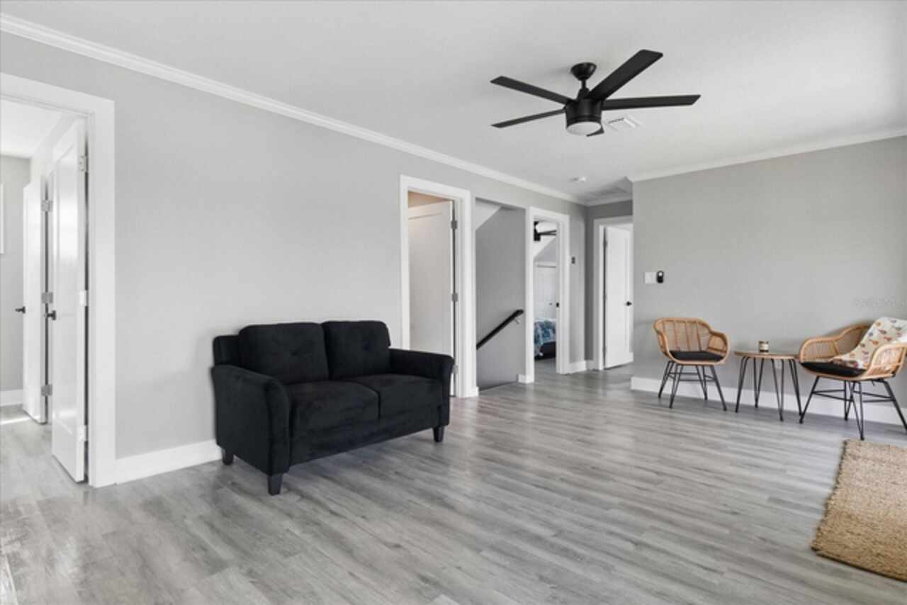
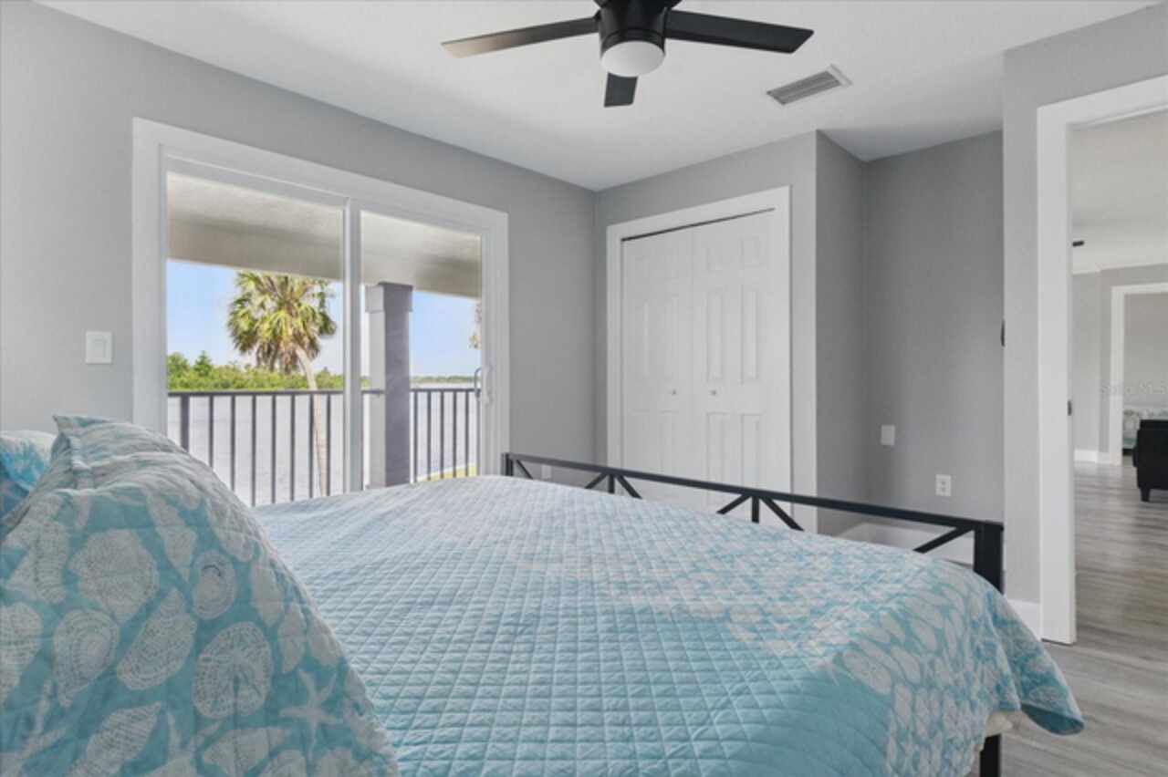
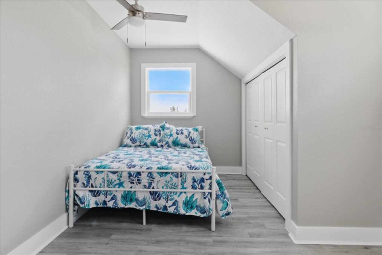
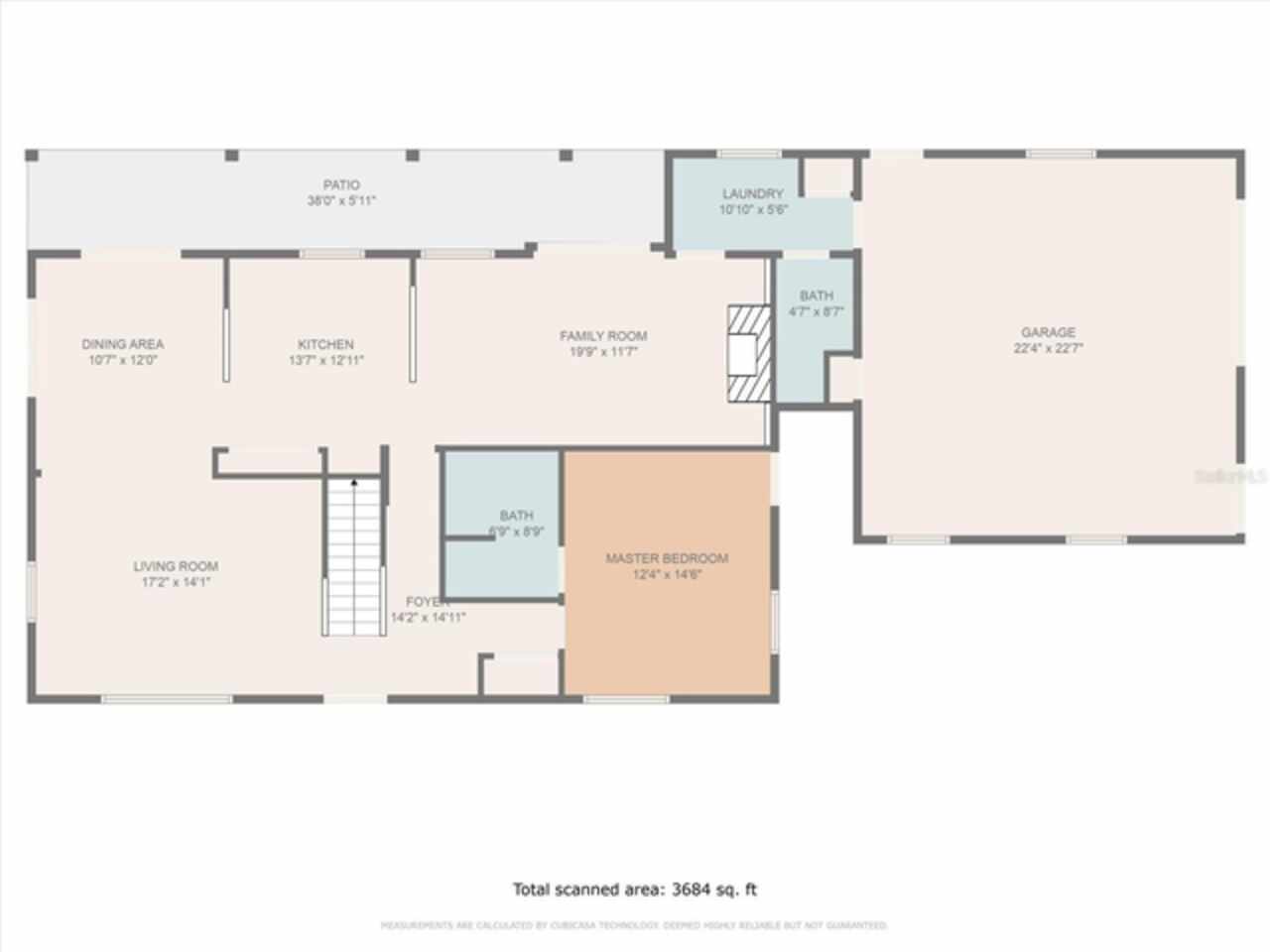
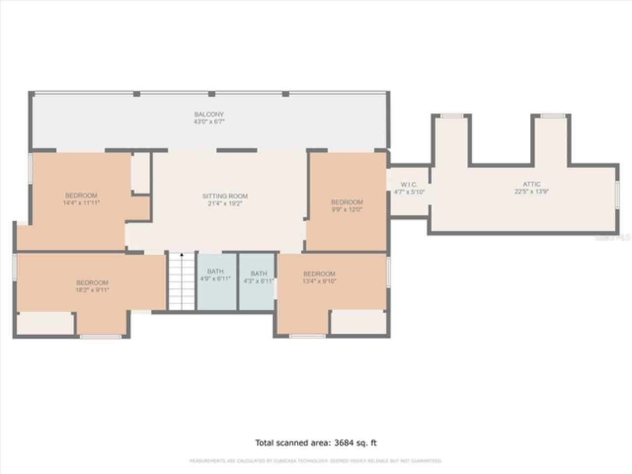
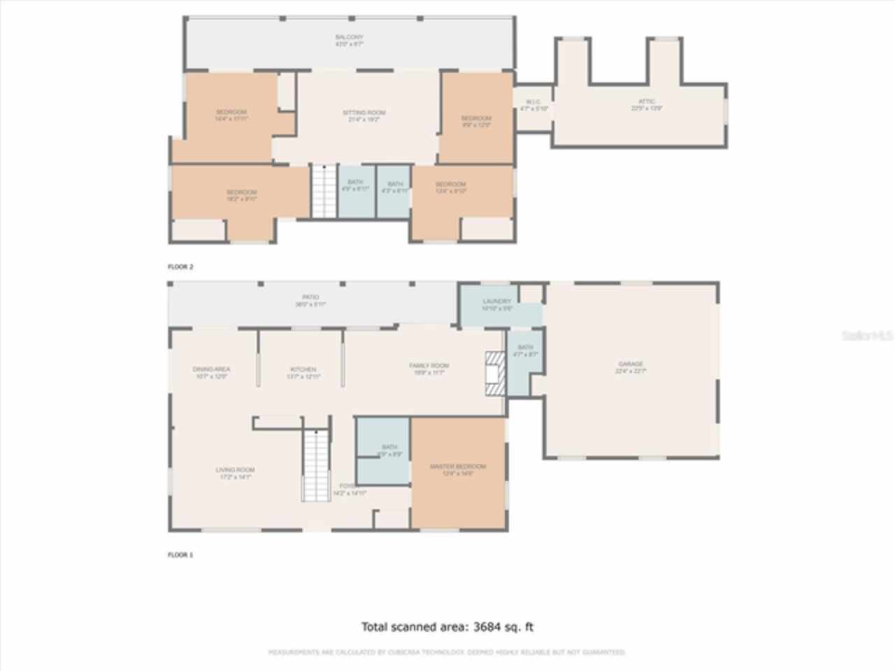
Additional Rooms
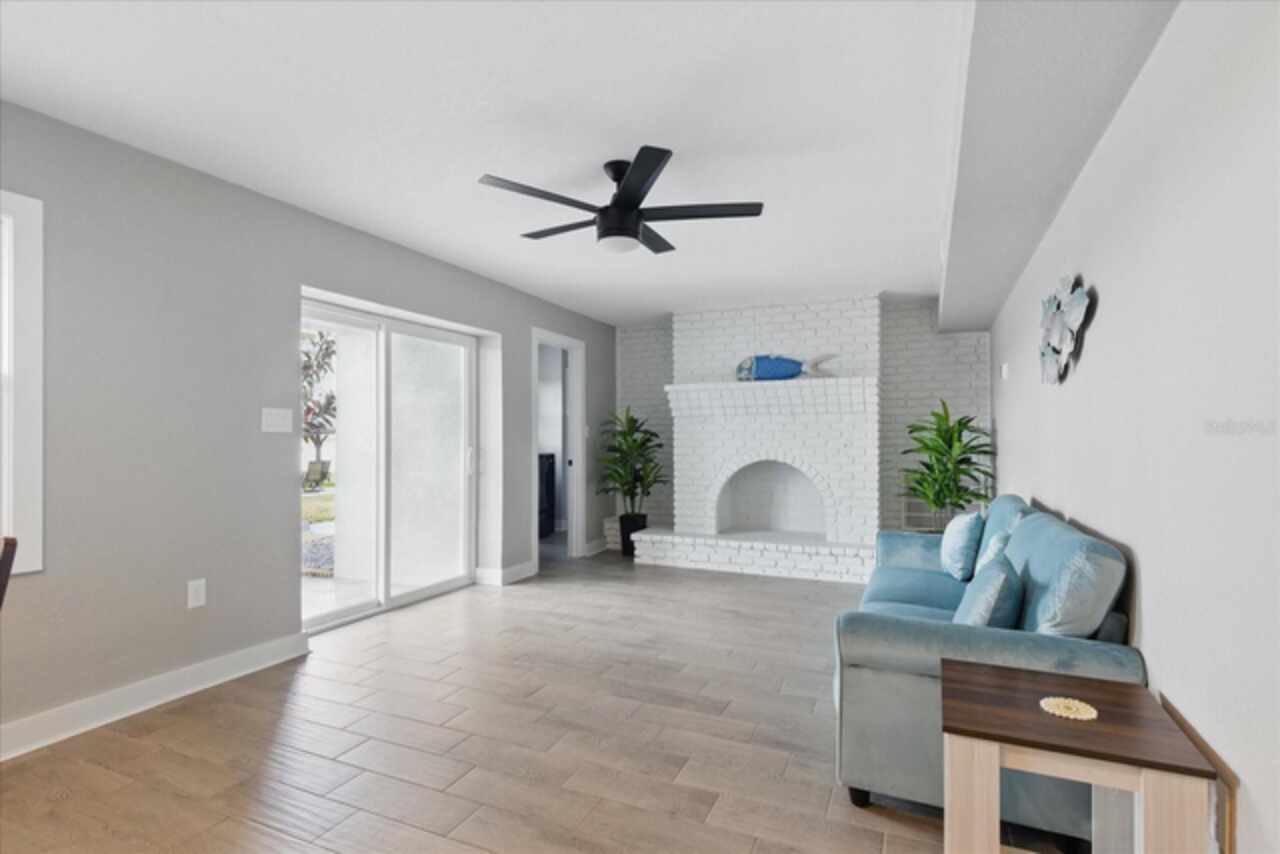
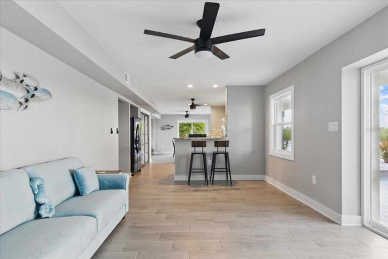
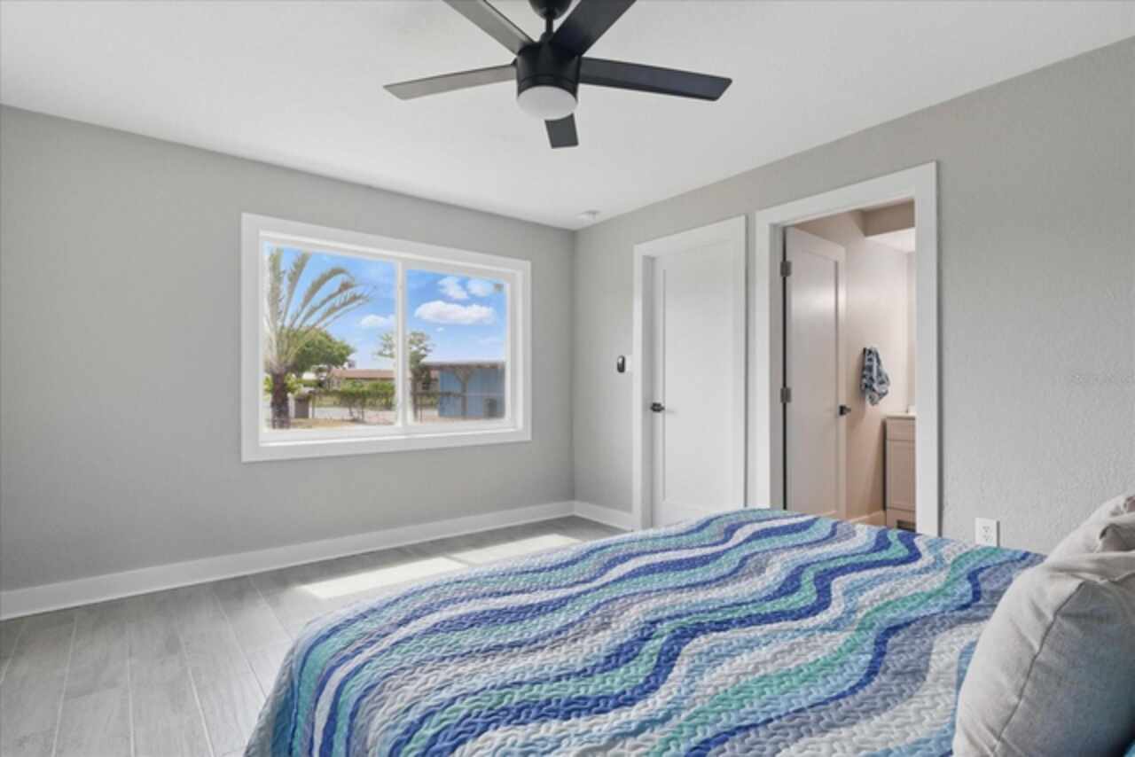
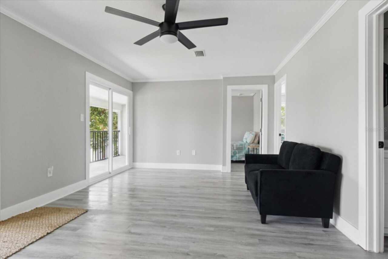
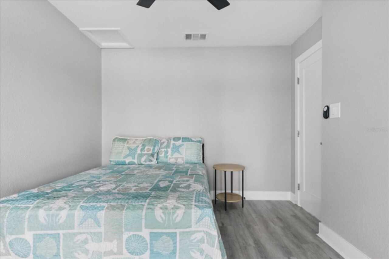
Attic, Family Room
Alternate Key Folio Num
223923009300G00080
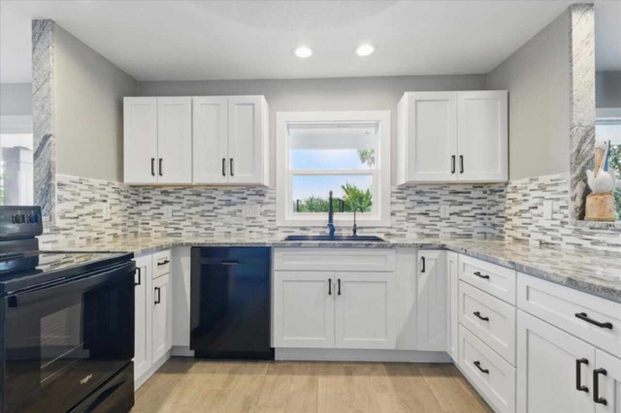
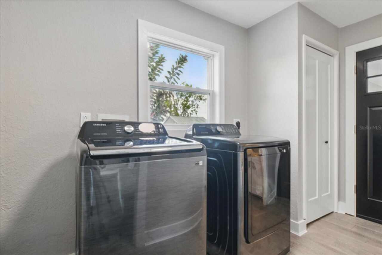
Appliances
Dishwasher, Disposal, Dryer, Range, Refrigerator, Washer
Building Area Source
Public Records
Building Area Total Srch SqM
460.80
Building Area Units
Square Feet
Calculated List Price By Calculated SqFt
249.73
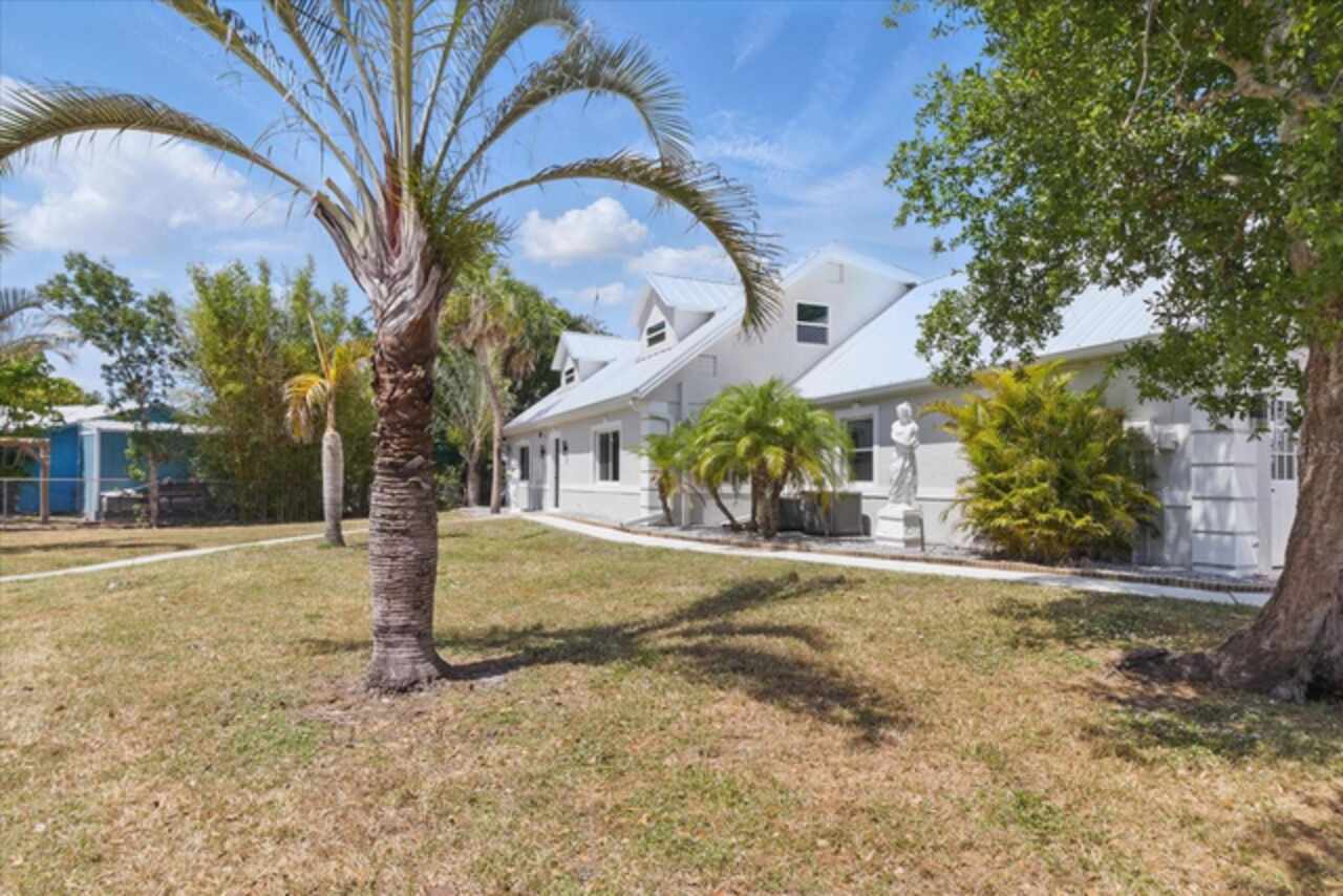
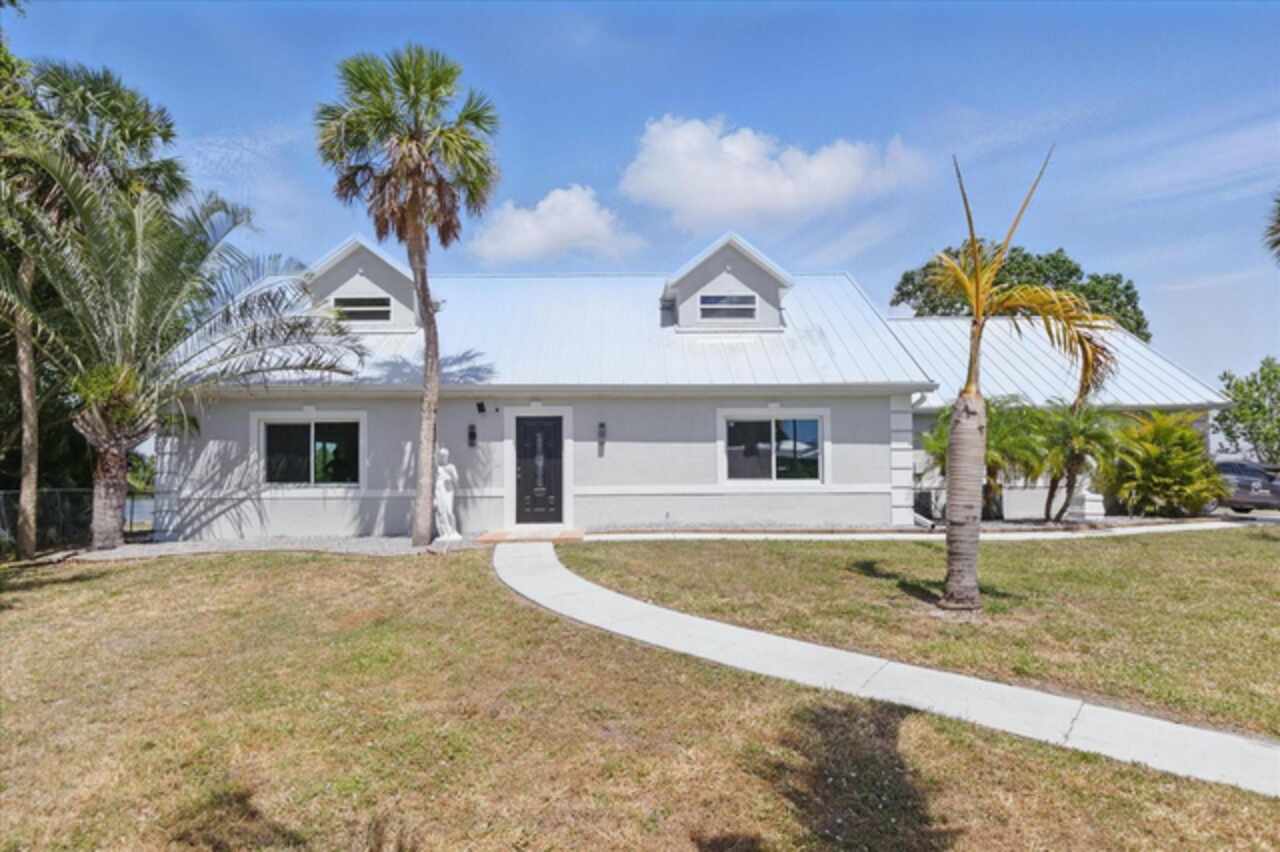
Construction Materials
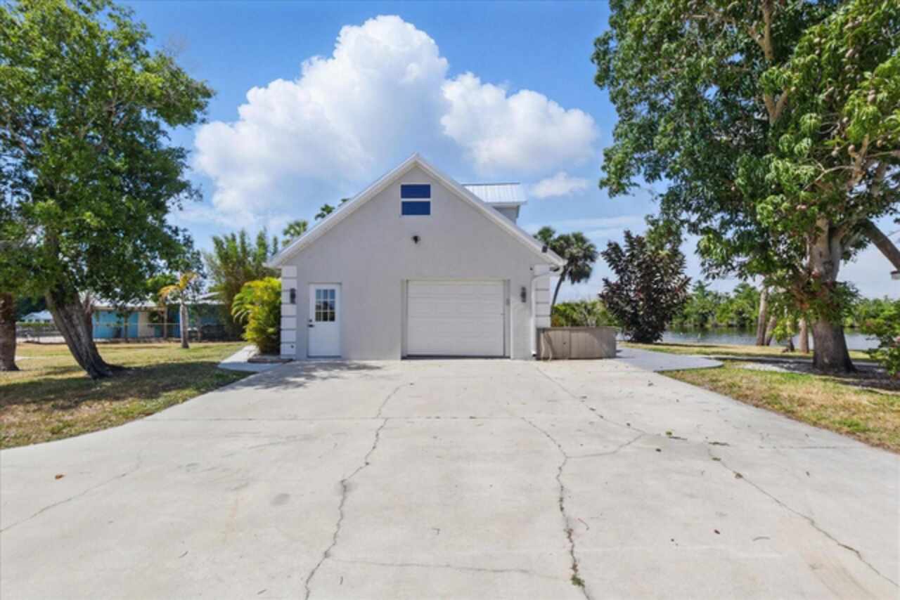
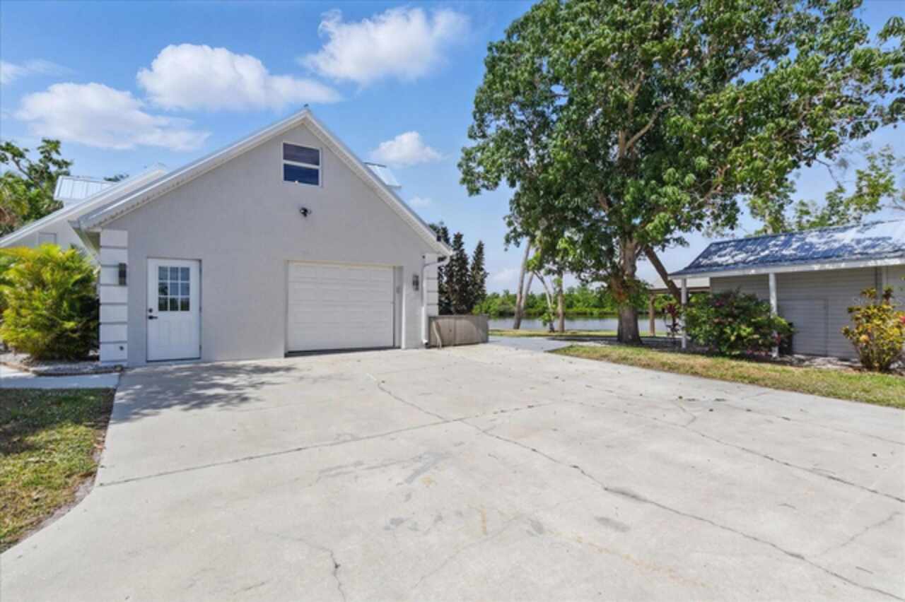
Stucco
Cumulative Days On Market
427
Elementary School
Nocatee Elementary School
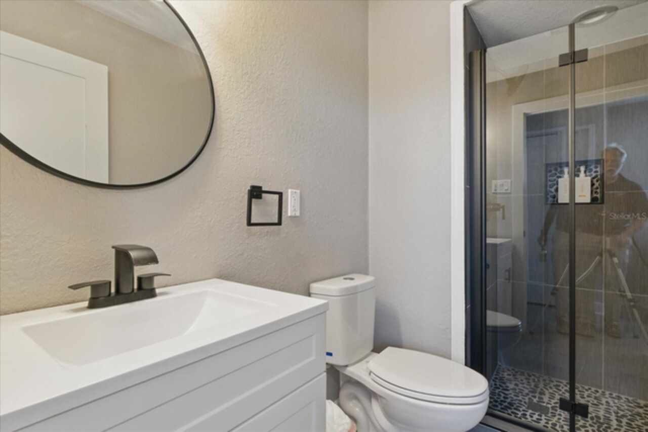
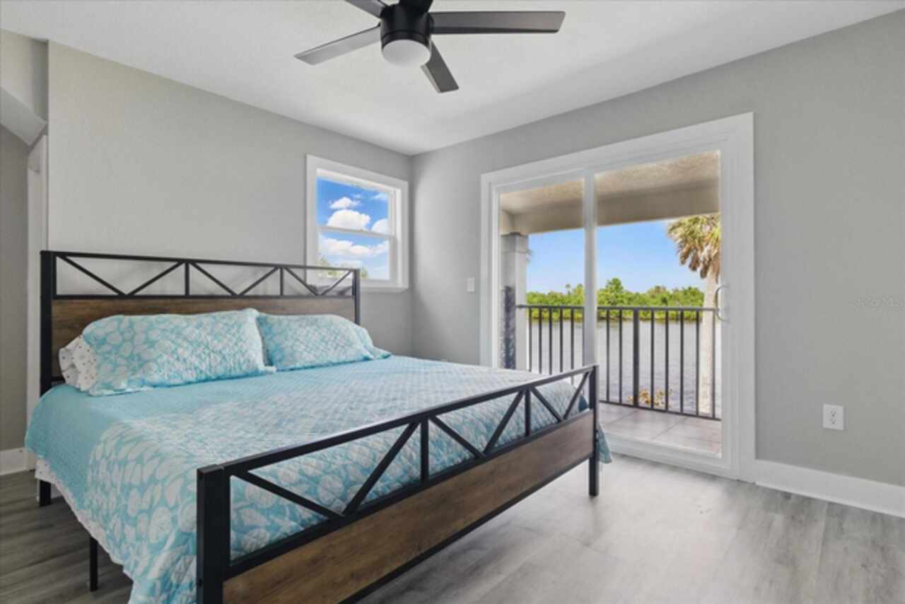
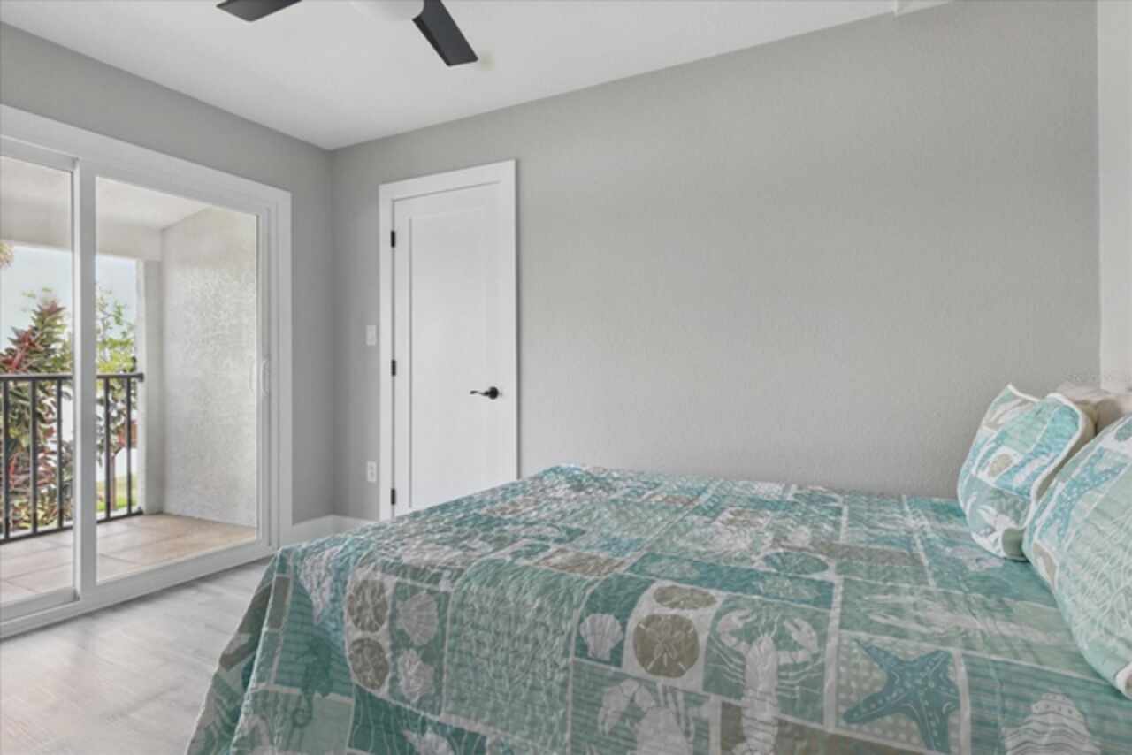
Exterior Features
Balcony, French Doors, Lighting, Private Mailbox, Sliding Doors
Fireplace Features
Family Room, Wood Burning
Flood Zone Date
2021-10-07
Flood Zone Panel
12027C0267D
High School
DeSoto County High School
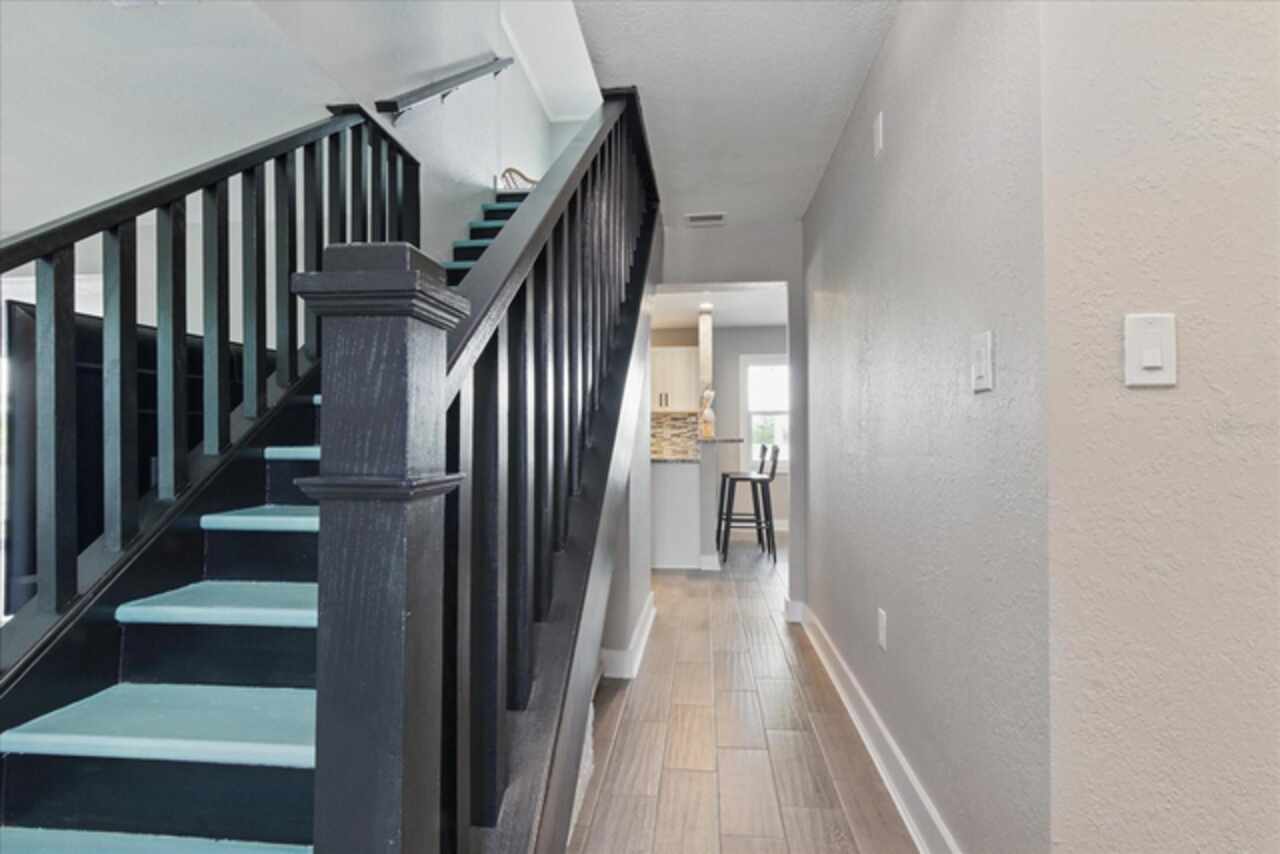
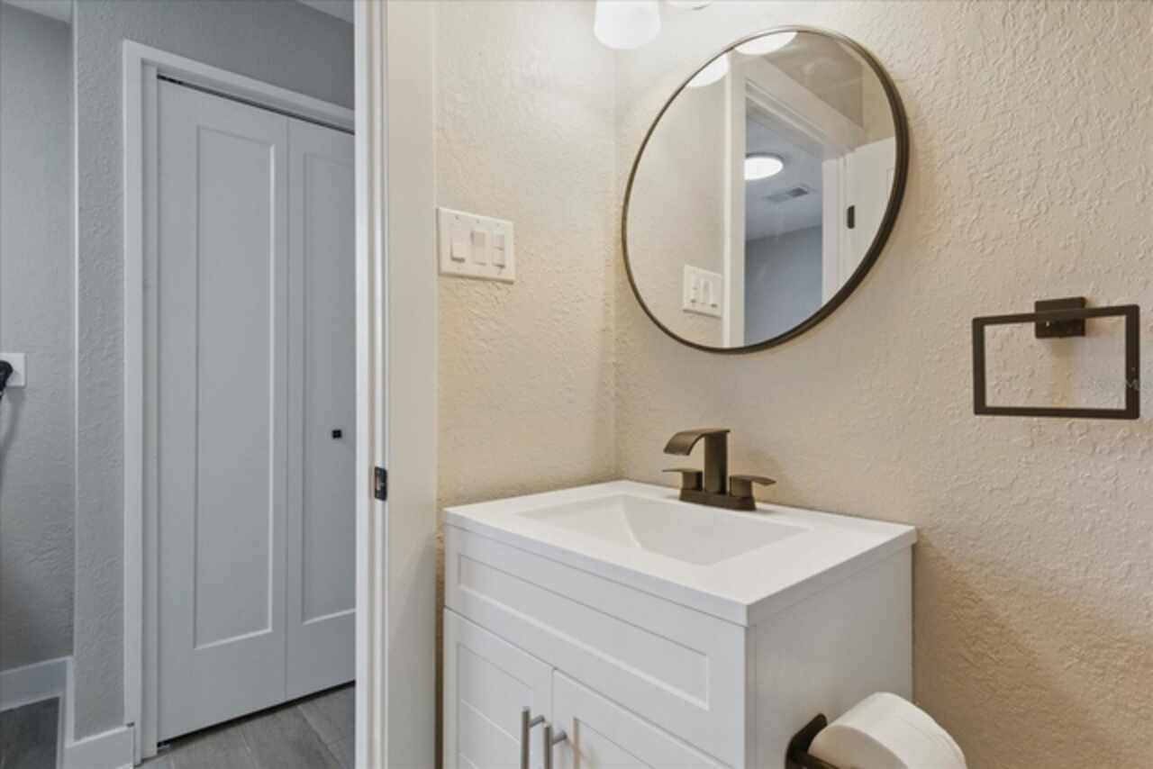
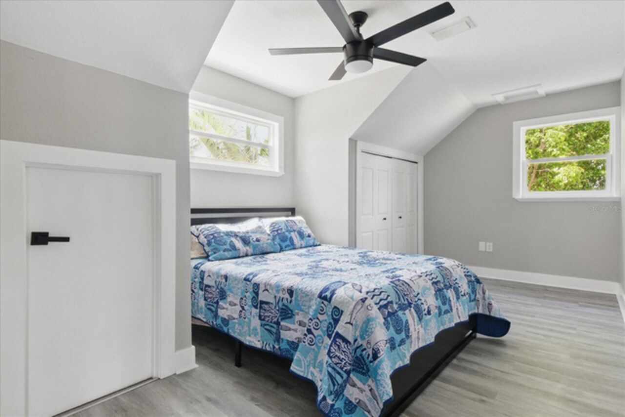
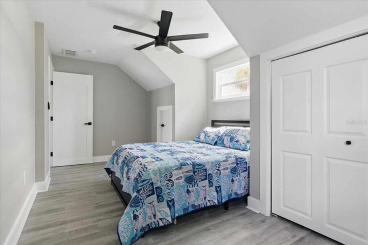
Interior Features
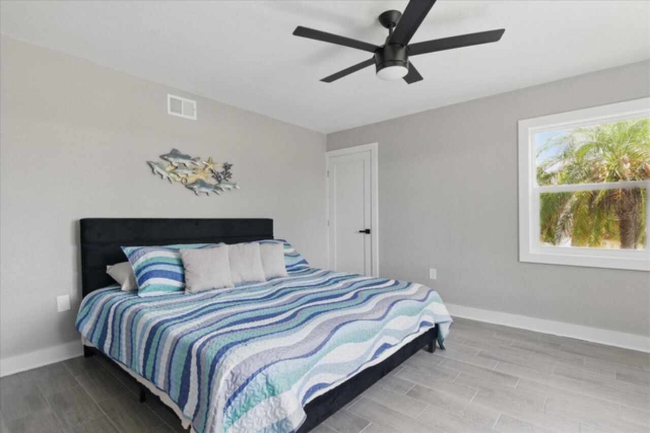
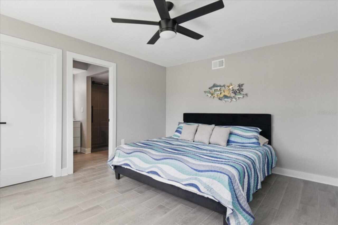
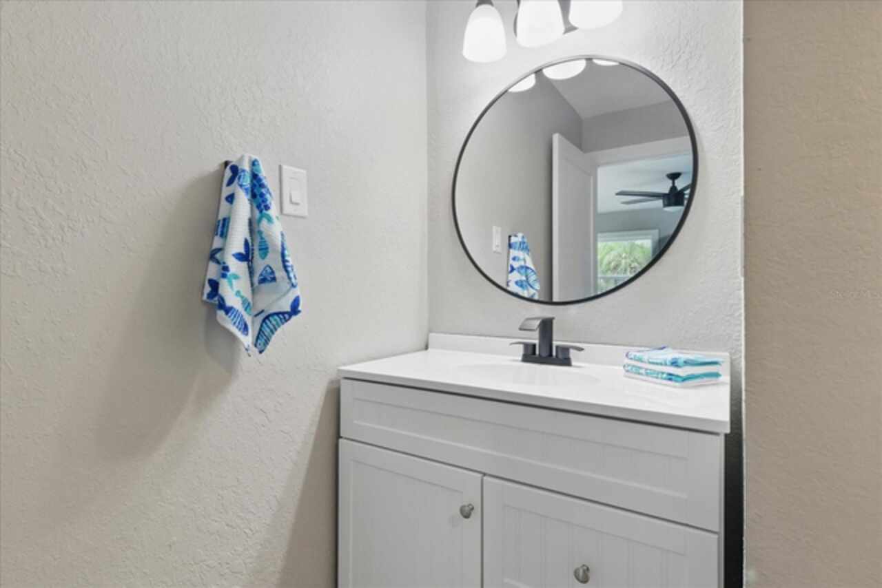
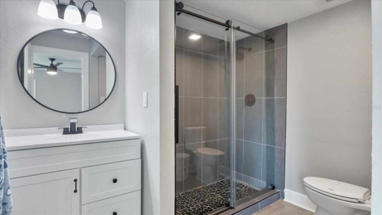
Ceiling Fans(s), Crown Molding, Primary Bedroom Main Floor, Split Bedroom, Stone Counters
Internet Address Display YN
true
Internet Automated Valuation Display YN
true
Internet Consumer Comment YN
true
Internet Entire Listing Display YN
true
Laundry Features
Laundry Room
Living Area Source
Estimated
Living Area Units
Square Feet
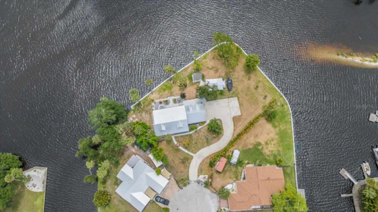
Lot Size Square Feet
32876
Lot Size Square Meters
3054
Middle Or Junior School
DeSoto Middle School
Modification Timestamp
2025-10-23T17:11:09.684Z
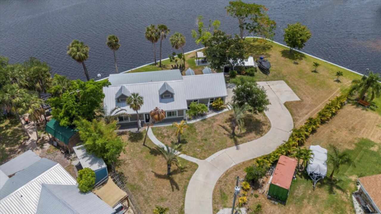
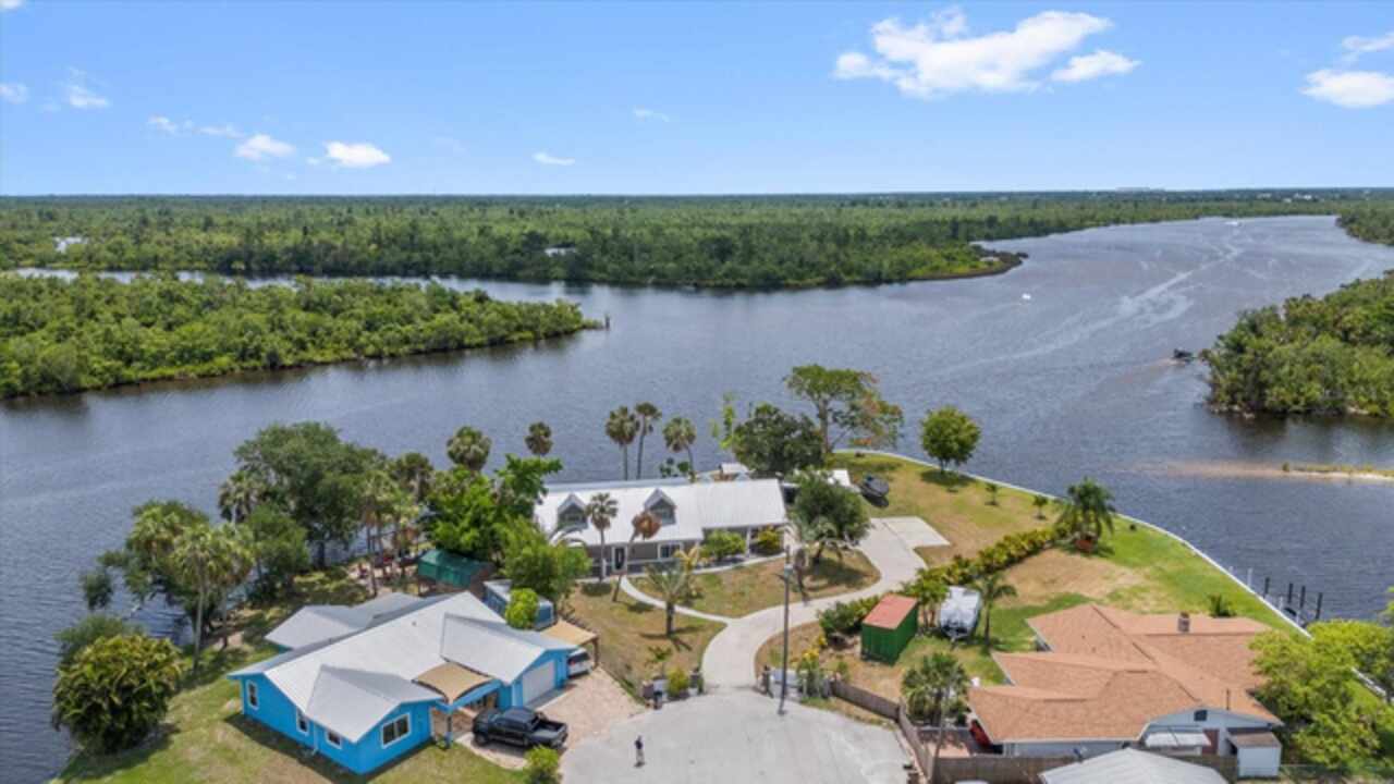
Other Structures
Gazebo, Shed(s)
Parcel Number
22-39-23-0093-00G0-0080
Patio And Porch Features
Front Porch, Patio
Previous List Price
949900
Price Change Timestamp
2025-10-23T17:10:45.000Z
RATIO Current Price By Calculated SqFt
249.73
Showing Requirements
Appointment Only, Call Listing Agent 2, Go Direct, Lock Box Electronic, ShowingTime
Spa Features
Heated, In Ground
Status Change Timestamp
2025-01-02T19:51:23.000Z
Tax Legal Description
DESOTO PEACE RIVER HEIGHTS SELY 1/2 LOT 8 ALL LOT 9 & LOT 10 LESS & EXCEPT THAT PART MPDAF: BEG NW COR LOT 10 FOR POB TH S 39D52M33S E ALG W LI 155.81 FT TO SW COR SAID LOT TH S 89D52M33S E ALG S LI 9.07 FT TH N 37D34M33S W 164.13 FT TO NWLY LI SAID LOT BEING A PT ON CURVE TH WLY ALG ARC 13.81 FT TO POB & LESS: BEG SW COR SAID LOT 10 TH S 89D52M33S E ALG S LI 9.07 FT TO POB TH CONT SAME LI 34.60 FT TH N 40D 14M13S W 162.40 FT TH N 73D26M 16S W 29.78 FT TO NWLY LI SAID LOT 10 BEING A POINT ON CUR VE (R=40 FT, A=2.62 FT, CA=03D45M 05S) TH WLY ALG ARC 2.62 FT TH S 37D34M33S E 164.13 FT TO POB BLK G OR 492/445 INST:201414004908
Total Acreage
1/2 to less than 1
Universal Property Id
US-12027-N-22392300930000080-R-N
Unparsed Address
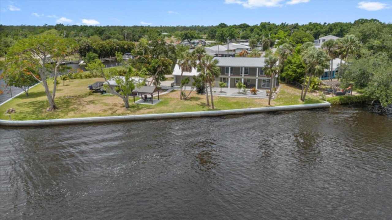
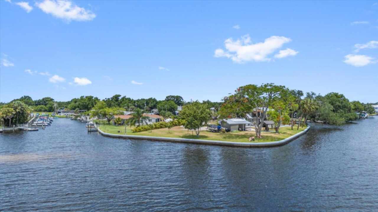
9610 SW YACHT DR
Utilities
Electricity Available
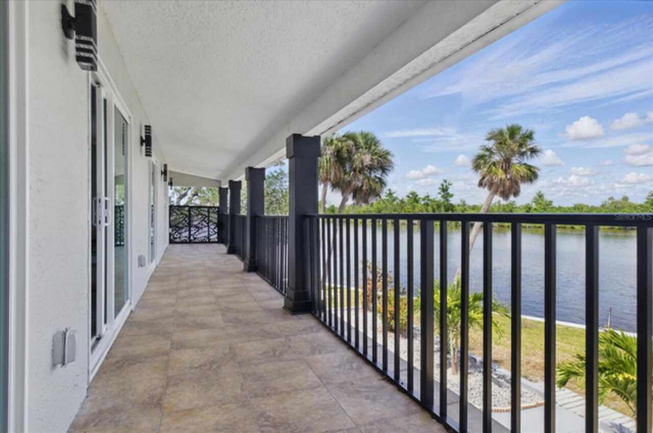
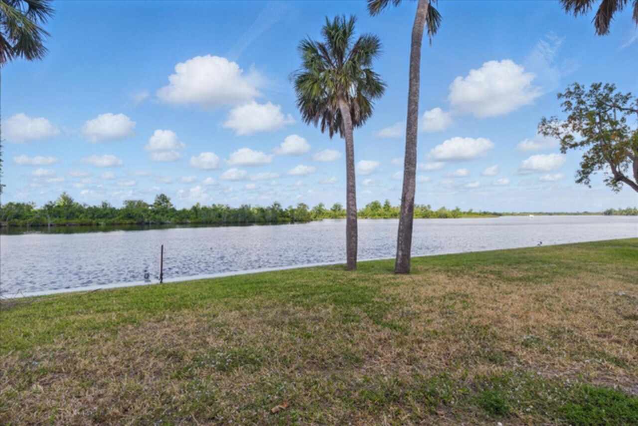
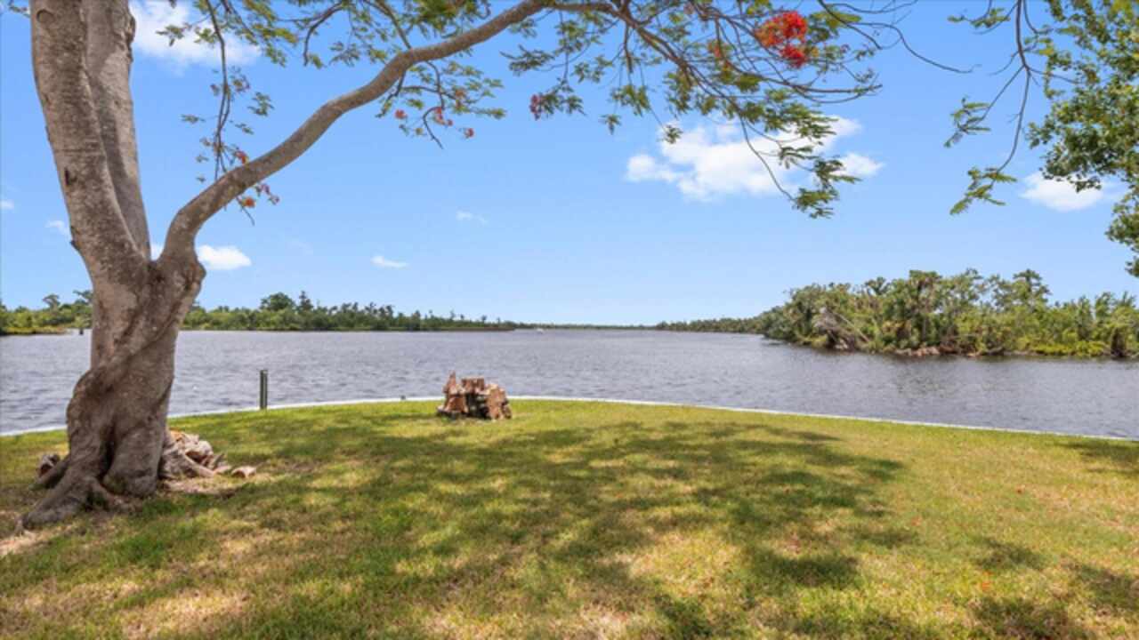
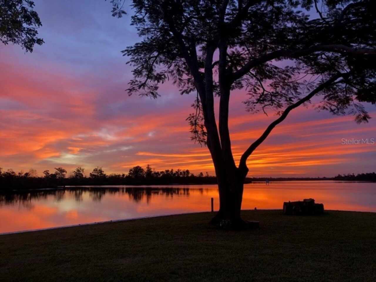
Water Access
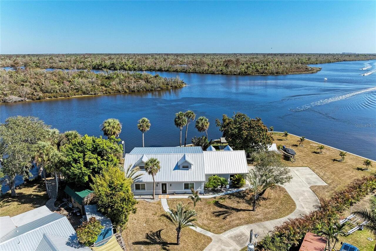
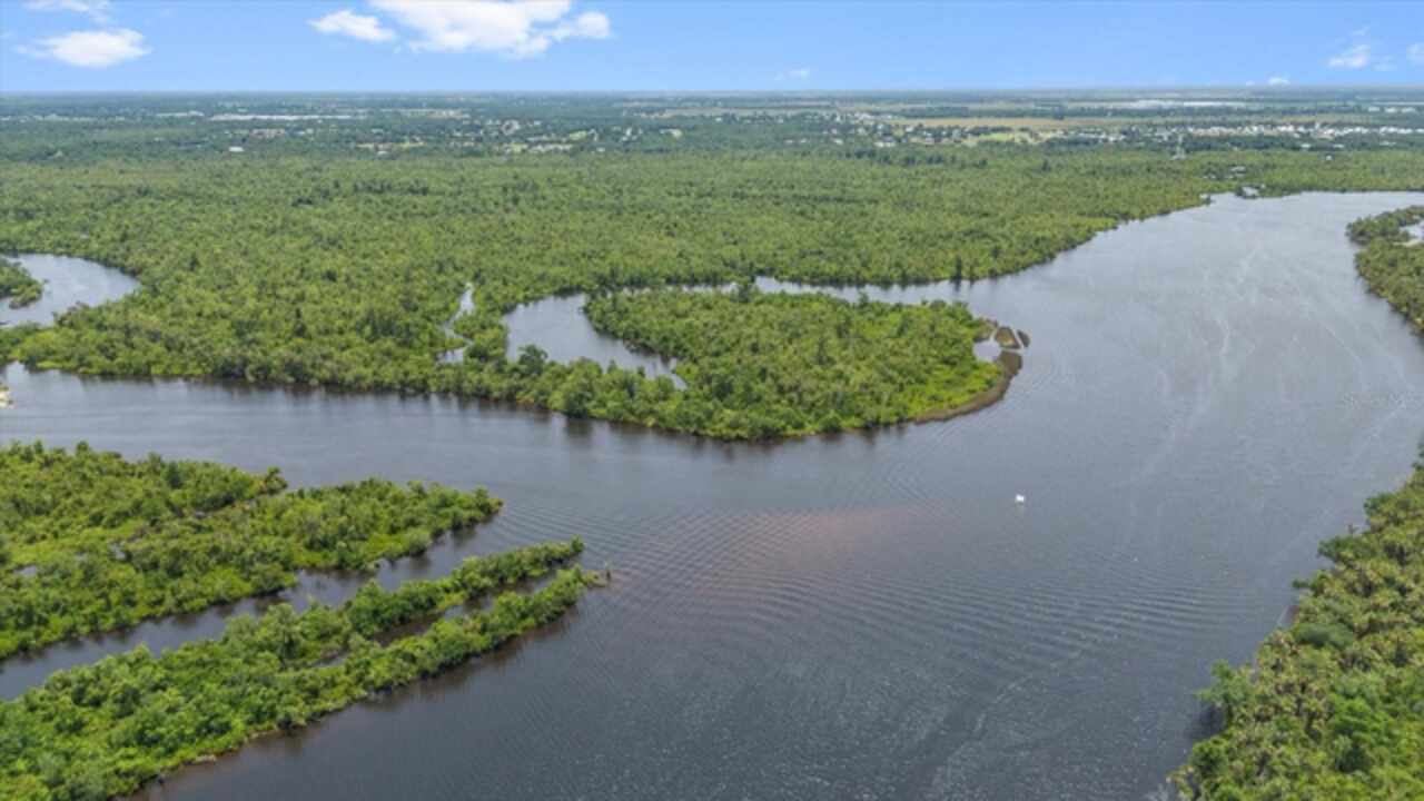
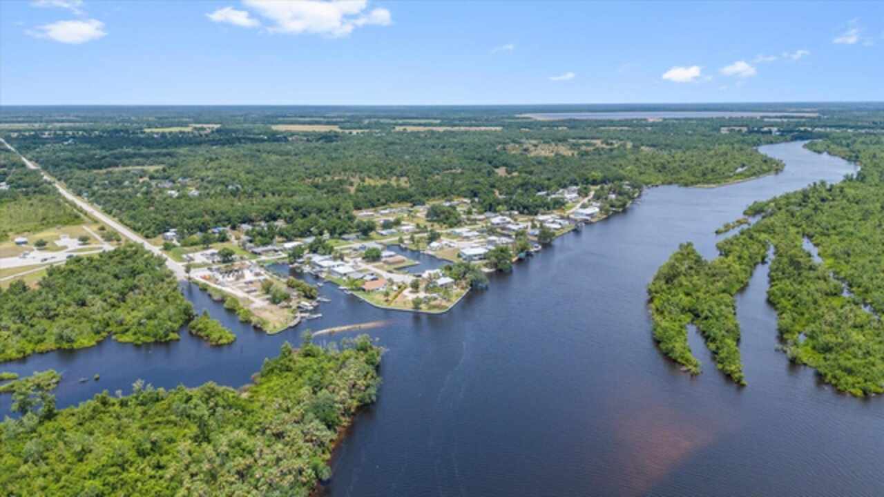
Intracoastal Waterway, River
Water Body Name
PEACE RIVER
Water View
Intracoastal Waterway, River
Window Features
Storm Window(s)