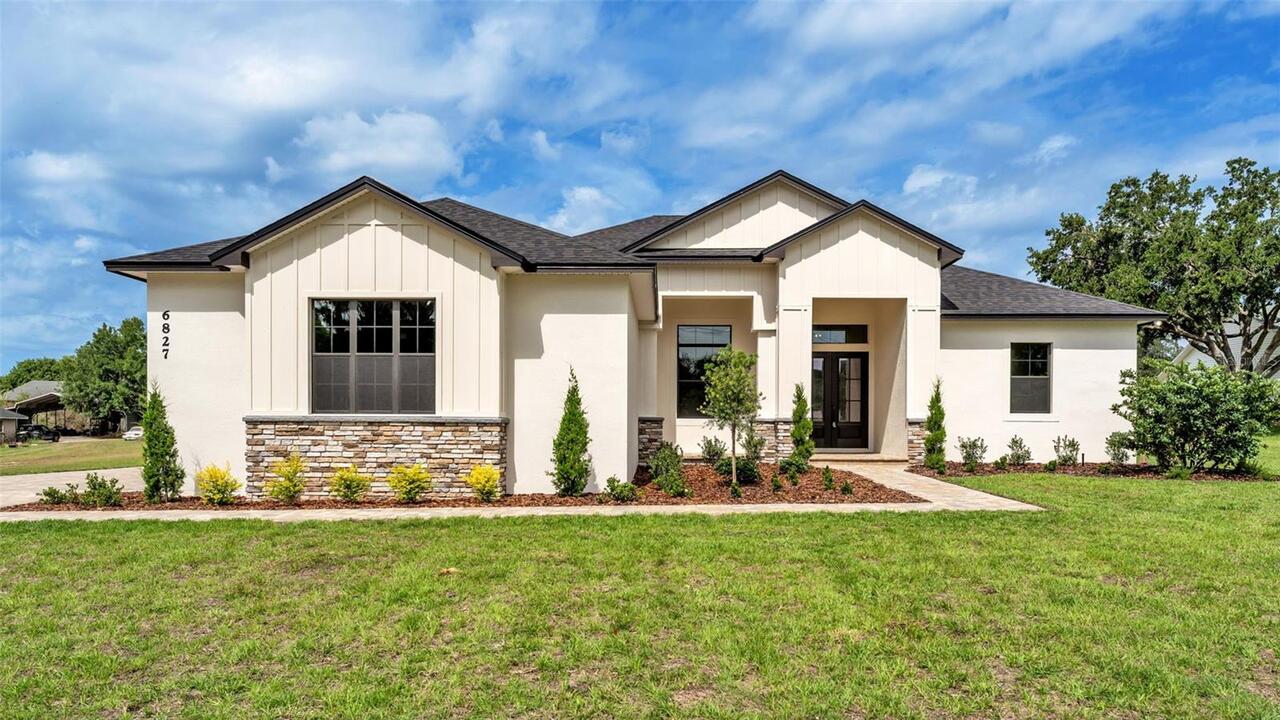
Property Features
Property Sub Type
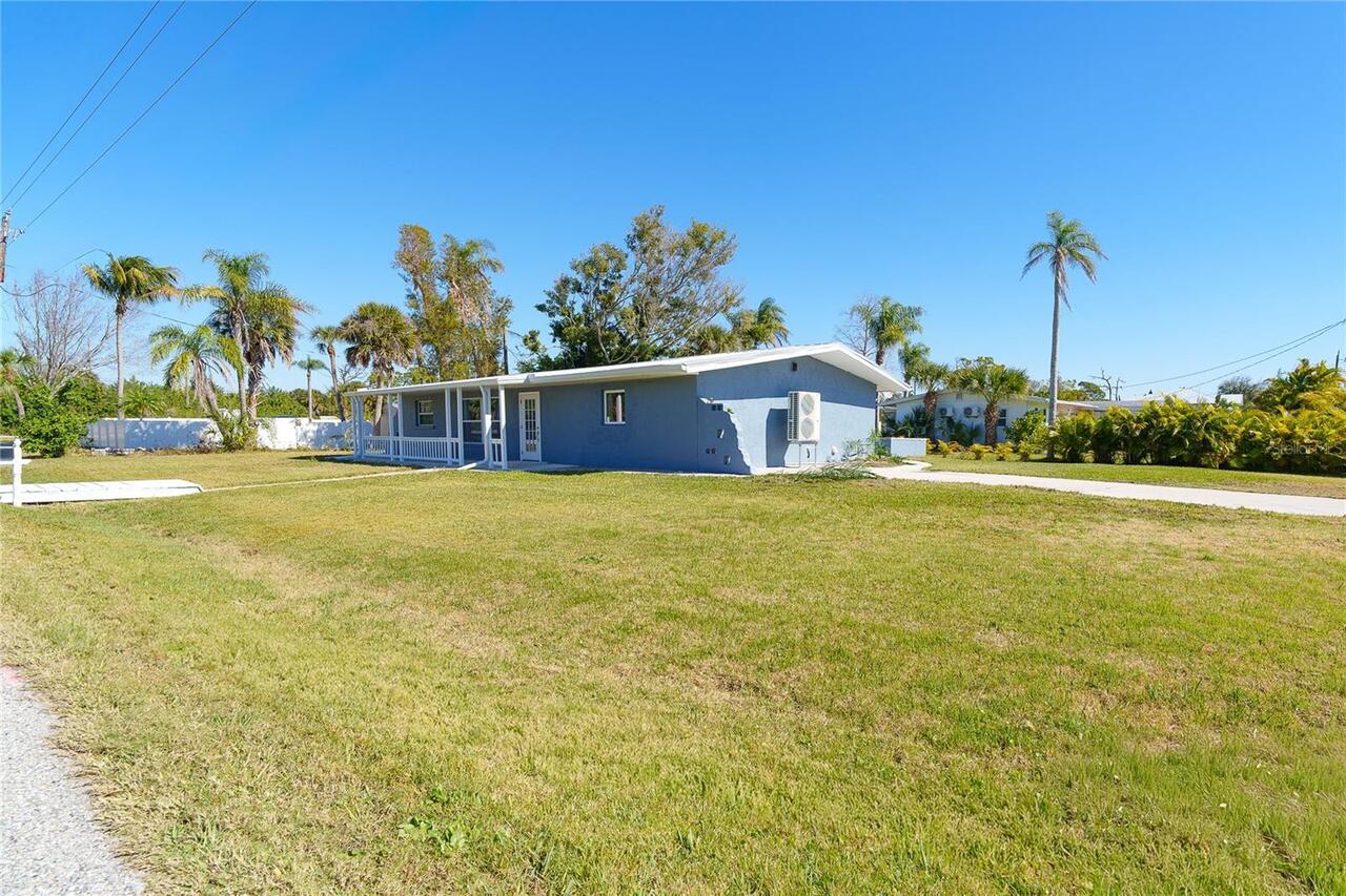
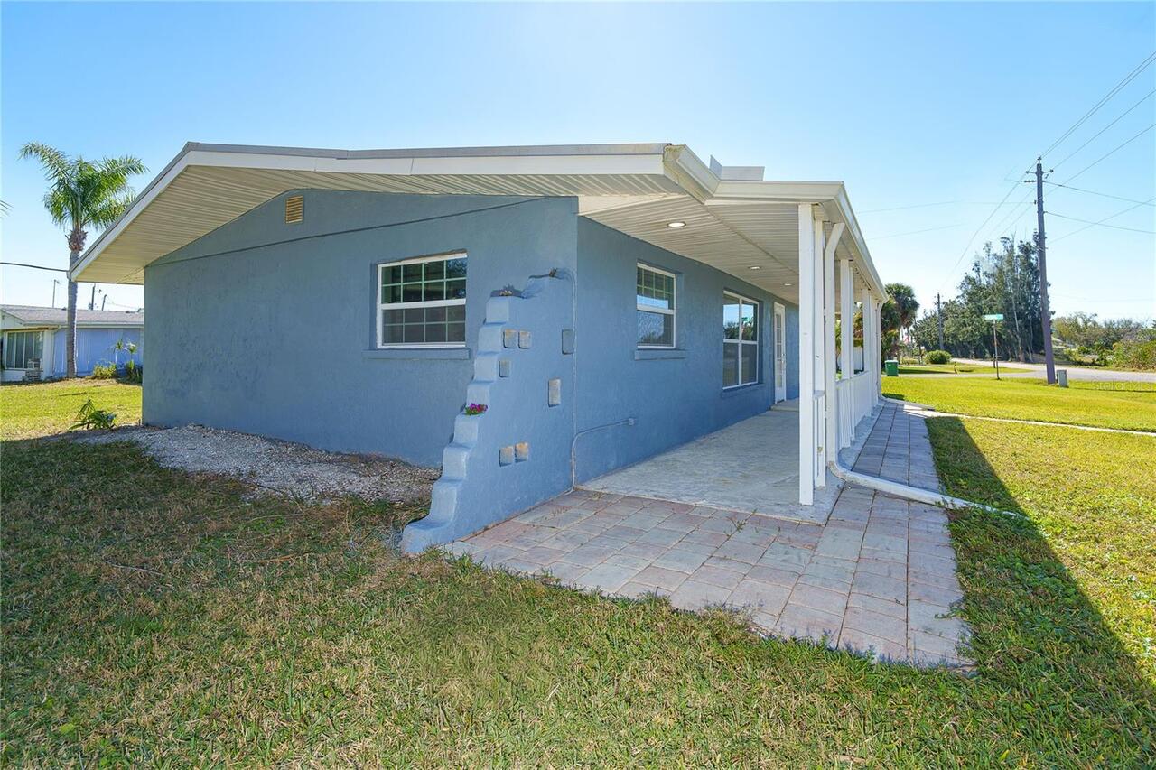
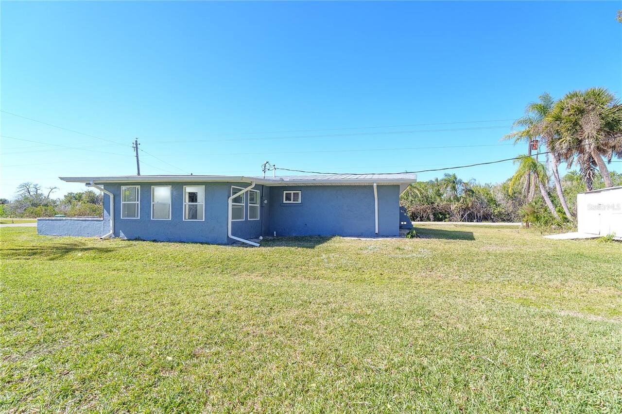
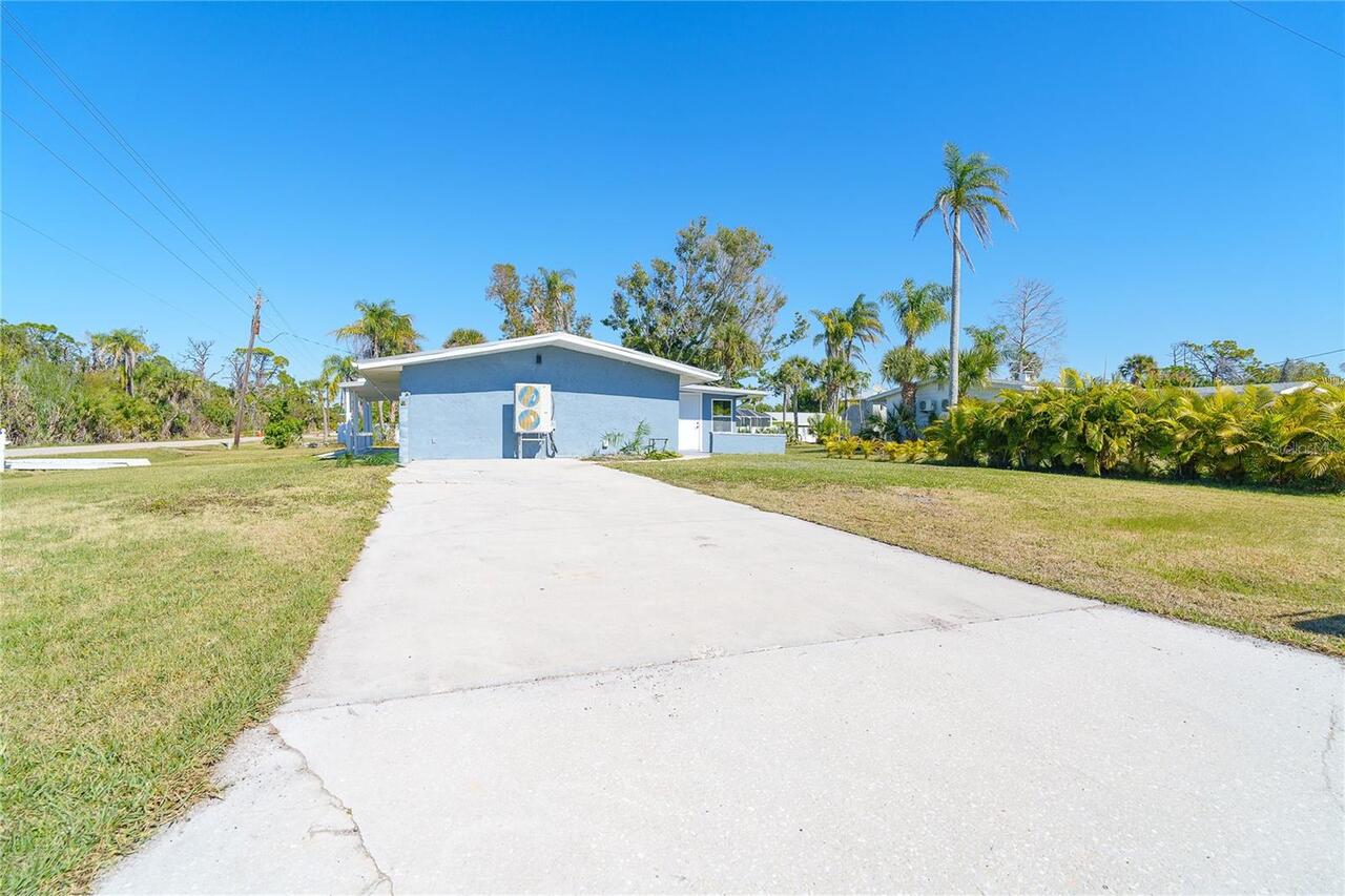
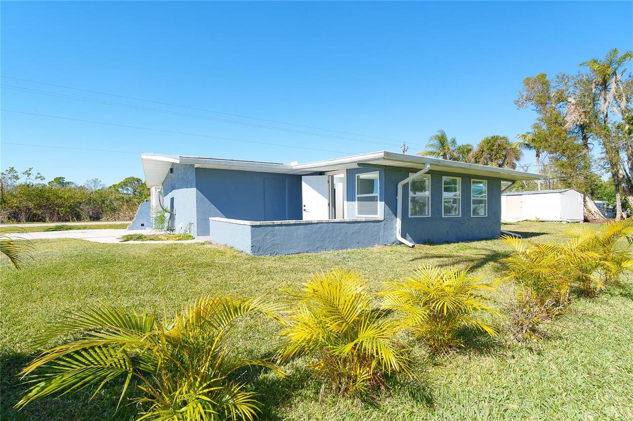
Single Family Residence
Additional Information
Additional Lease Restrictions
Please check with county on any lease restrictions
Additional Parcels Description
412021178022
Additional Parcels YN
true
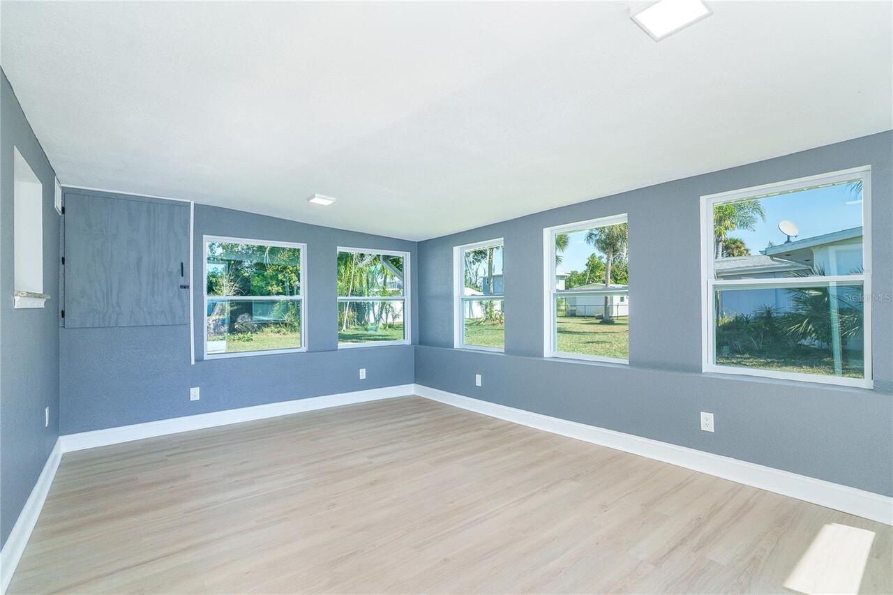
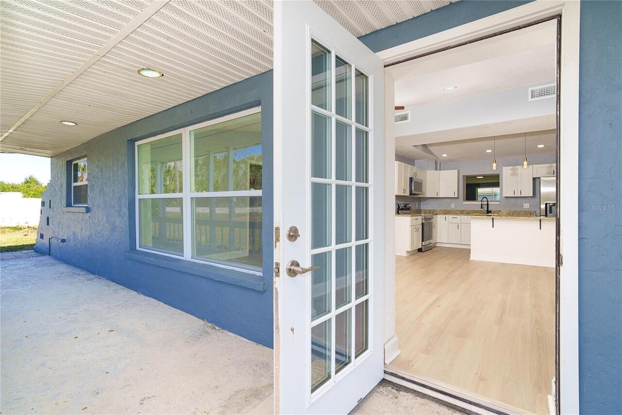
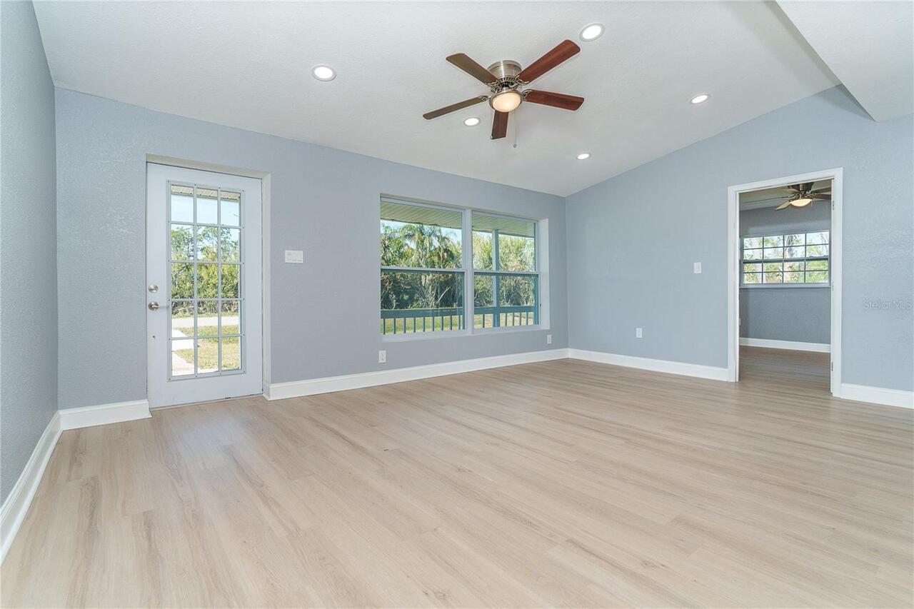
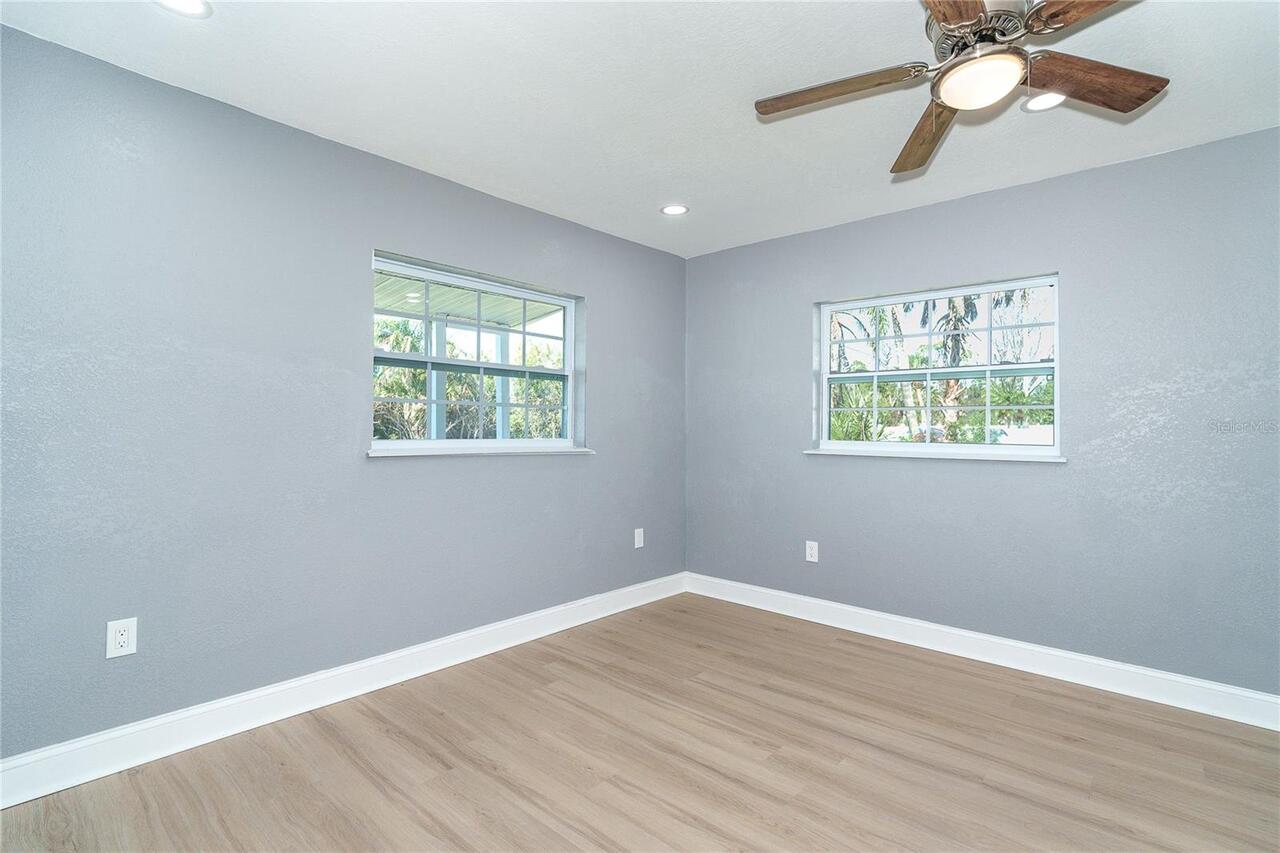
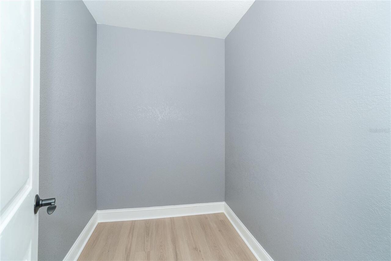
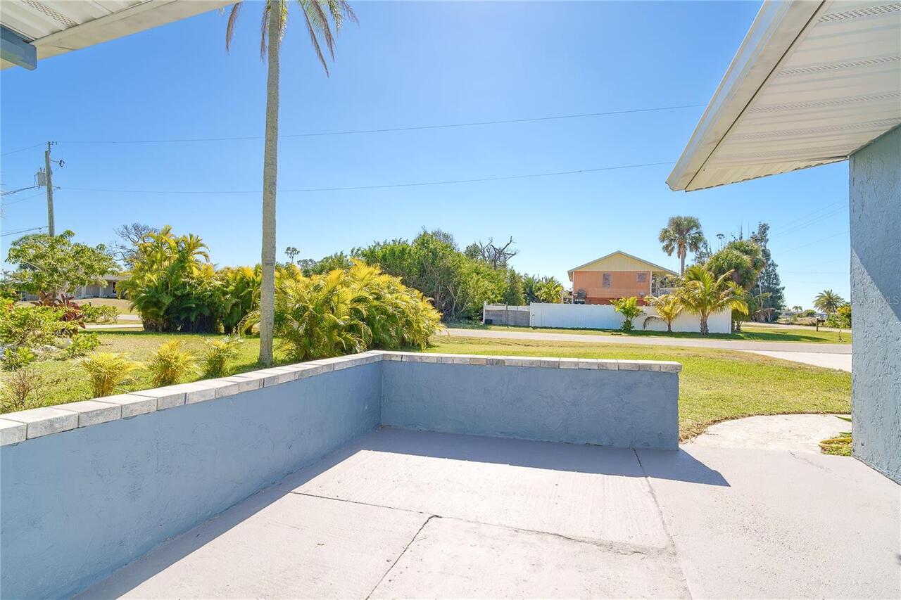
Additional Rooms
Florida Room
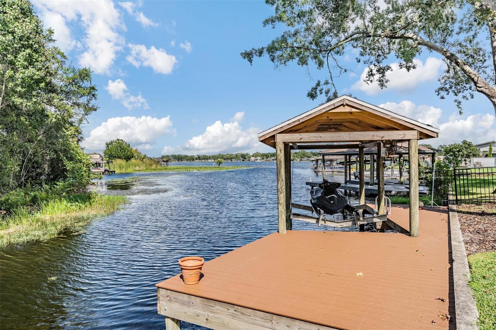
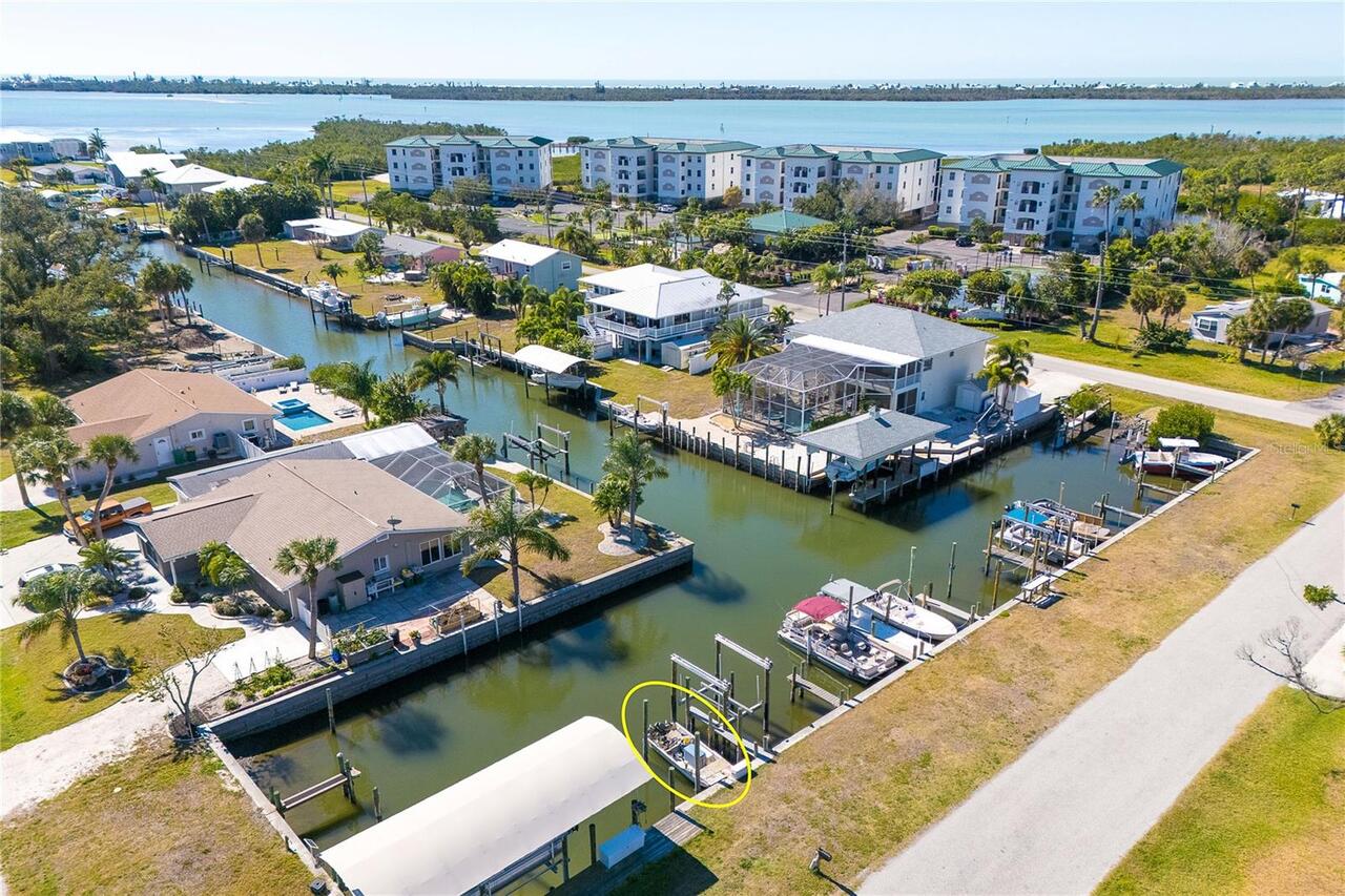
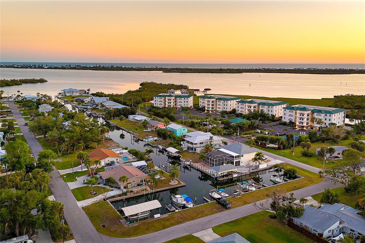
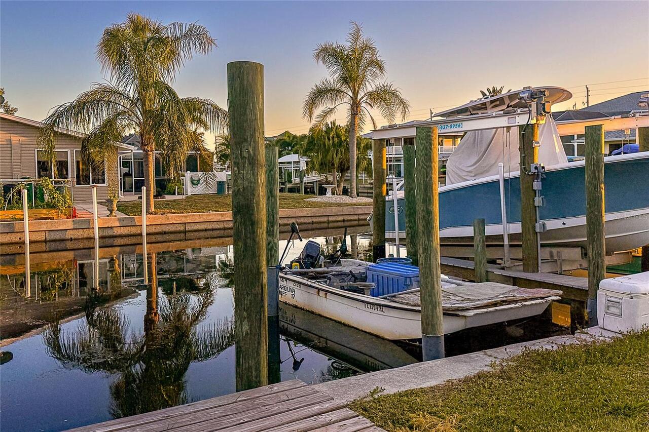
Additional Water Information
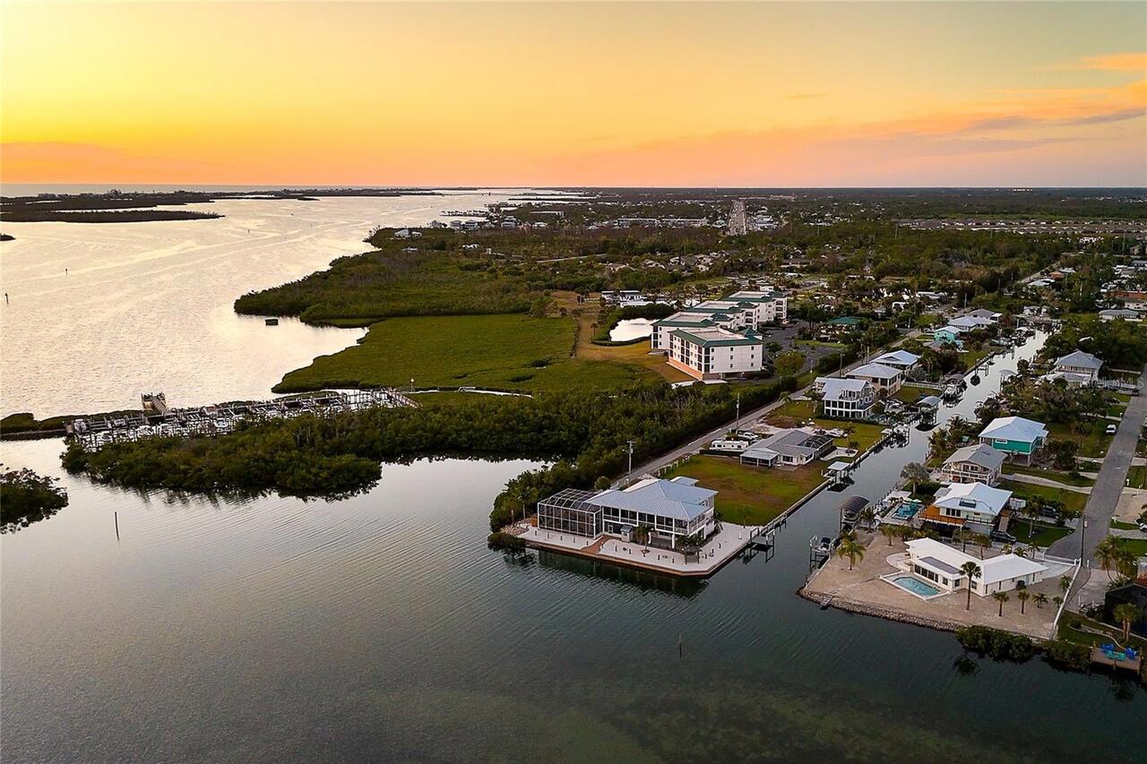
Deeded Boat Slip with direct access to the intercoastal waterway, Lemon Bay, and Gulf of America. Boat Slip is just a 2 minute walk down the road 8151 Seashell St - Unit B24. Dock is 14ft, Seawall is 10ft.
Alternate Key Folio Num
0090635-000000-4
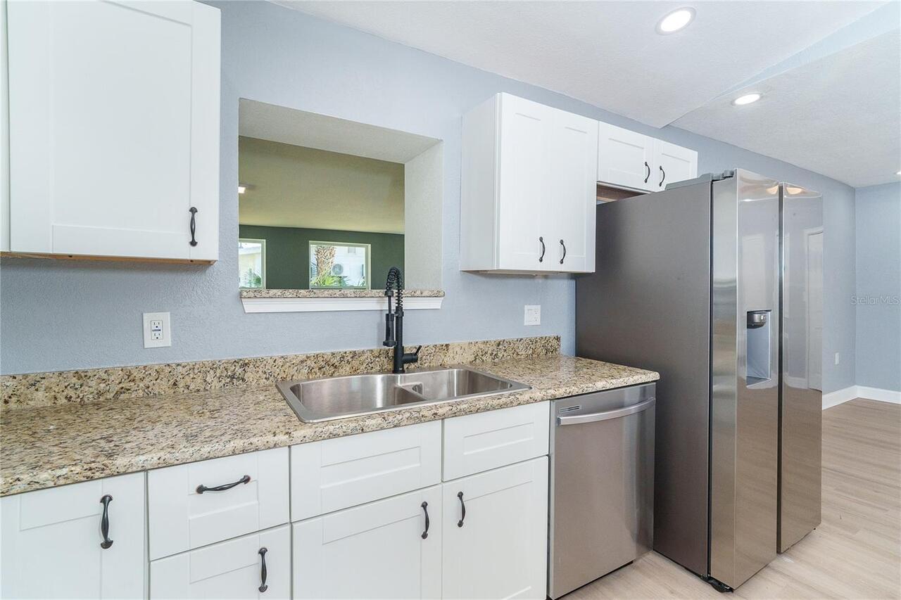
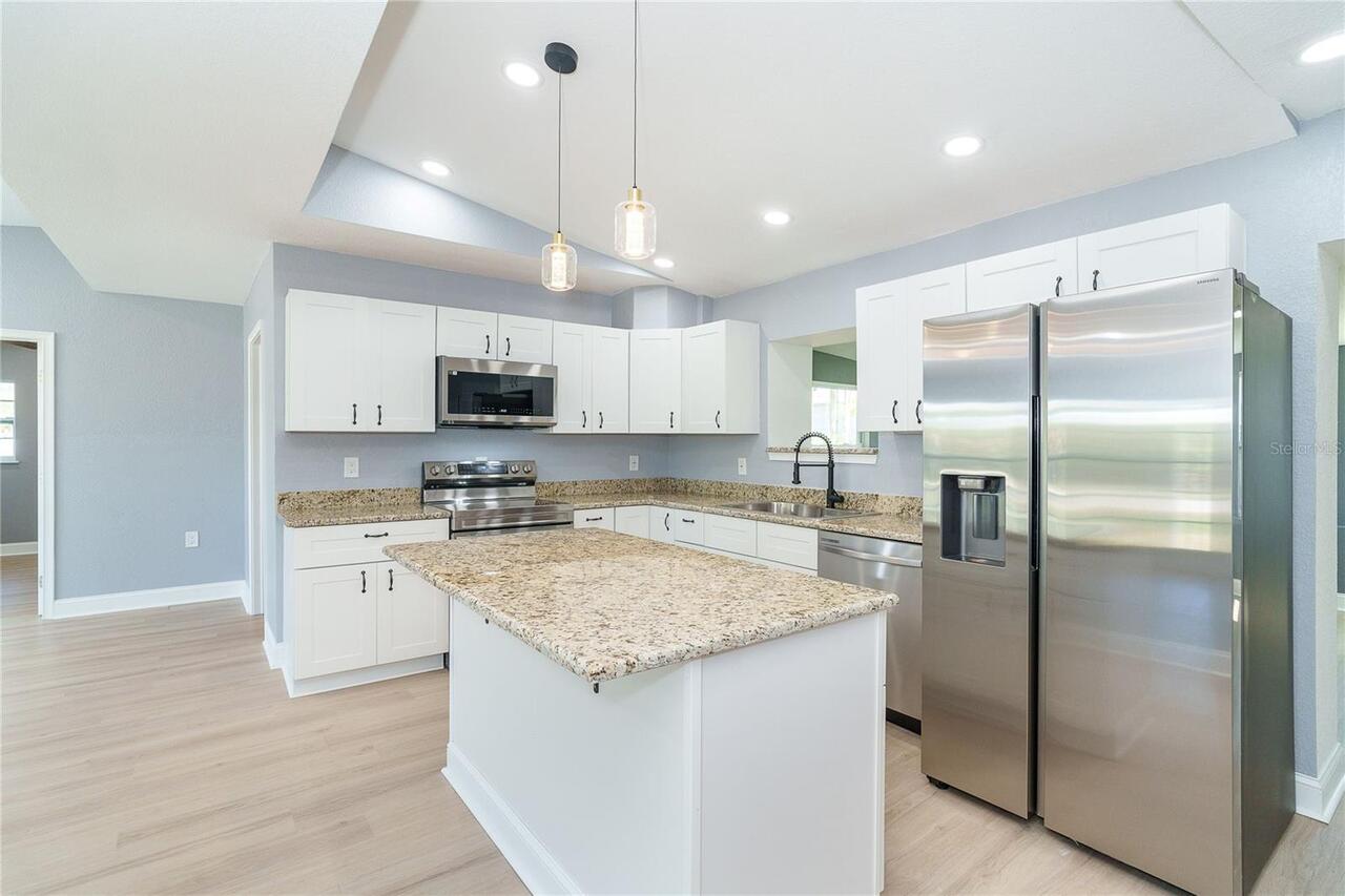
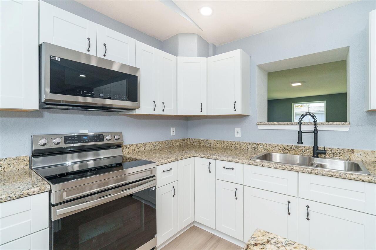
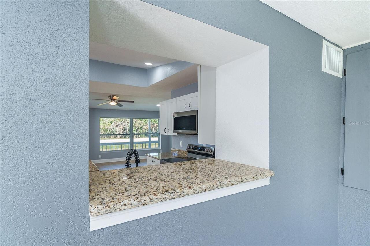
Appliances
Convection Oven, Cooktop, Dishwasher, Microwave, Refrigerator
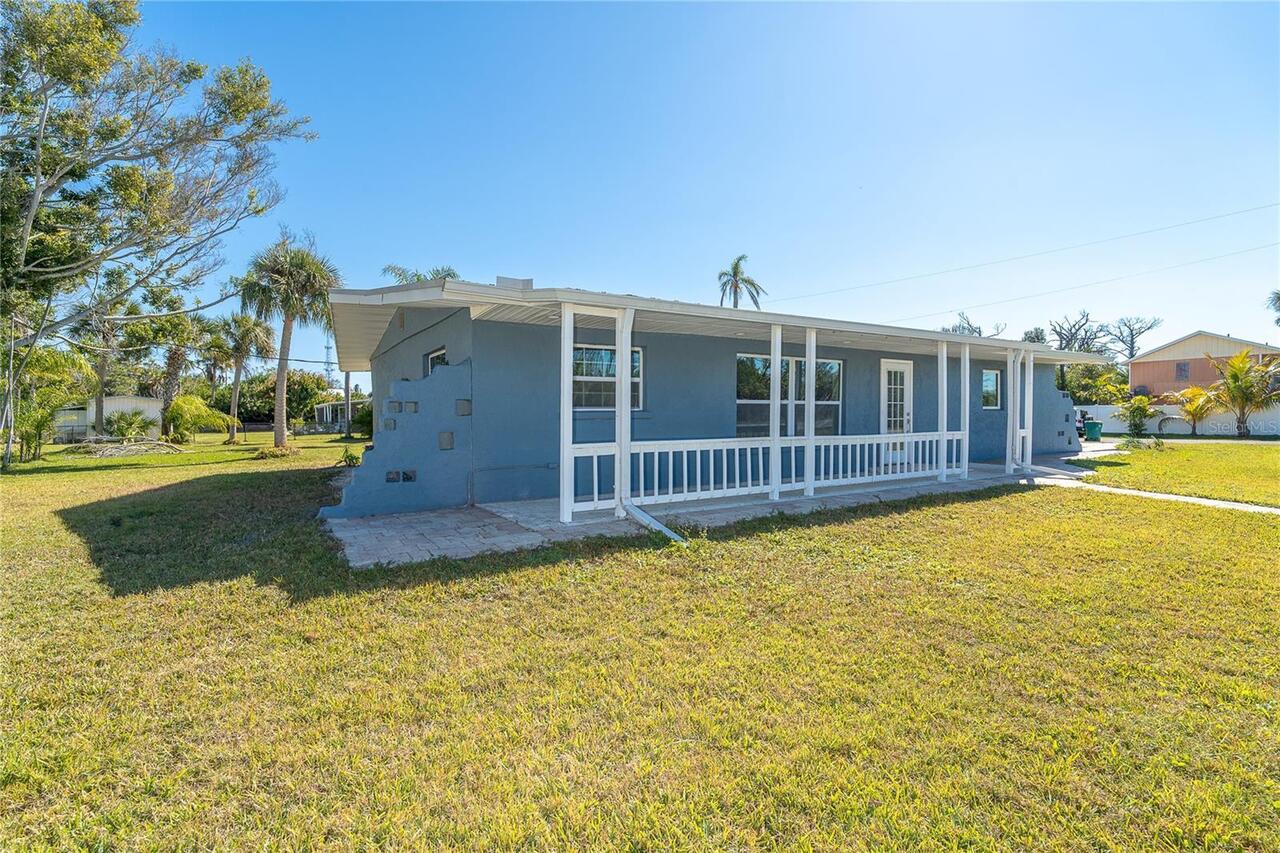
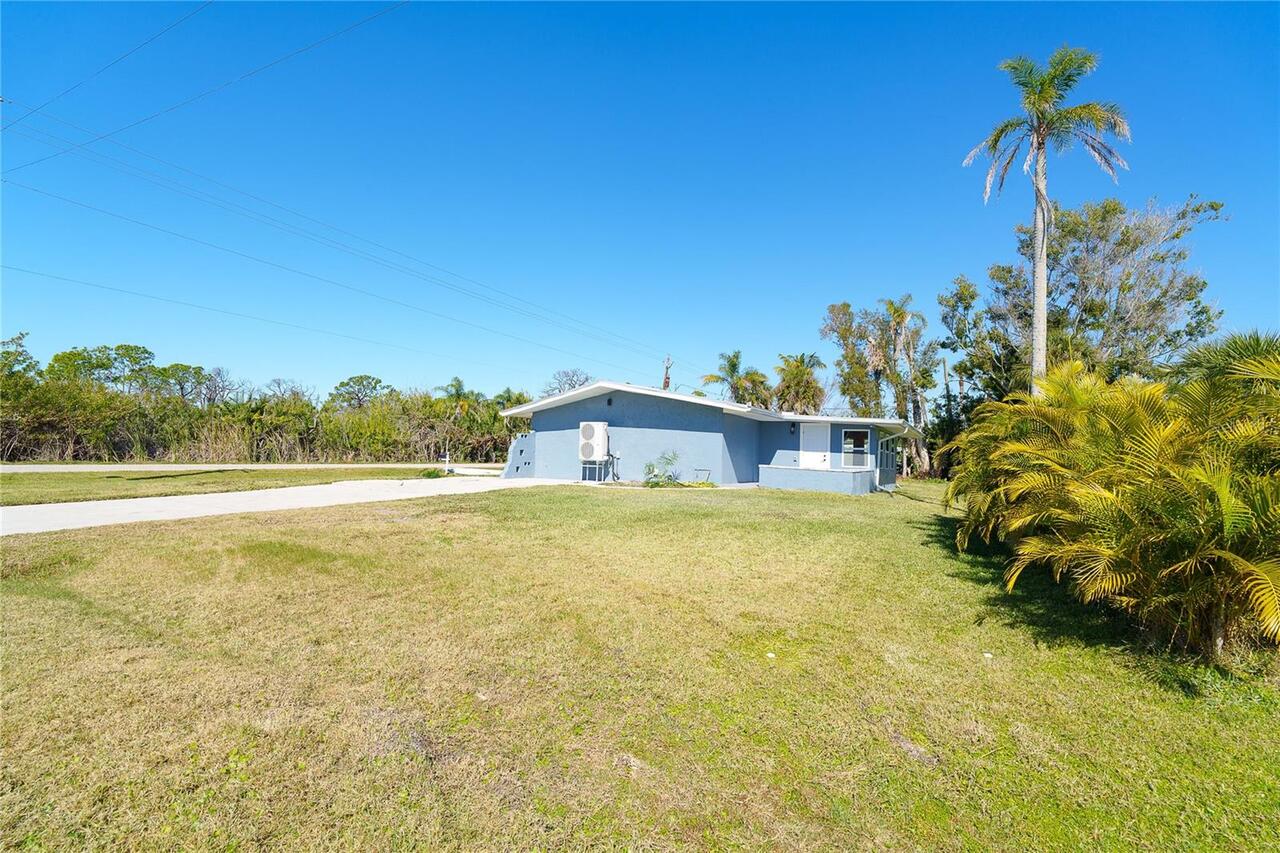
Architectural Style
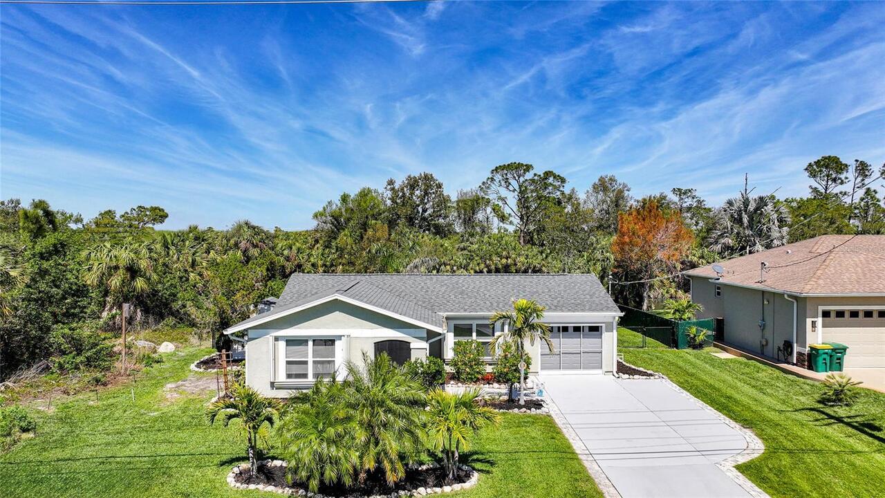
Florida
Building Area Source
Public Records
Building Area Total Srch SqM
155.71
Building Area Units
Square Feet
Calculated List Price By Calculated SqFt
268.87
Construction Materials
Block
Cumulative Days On Market
92
Elementary School
Vineland Elementary
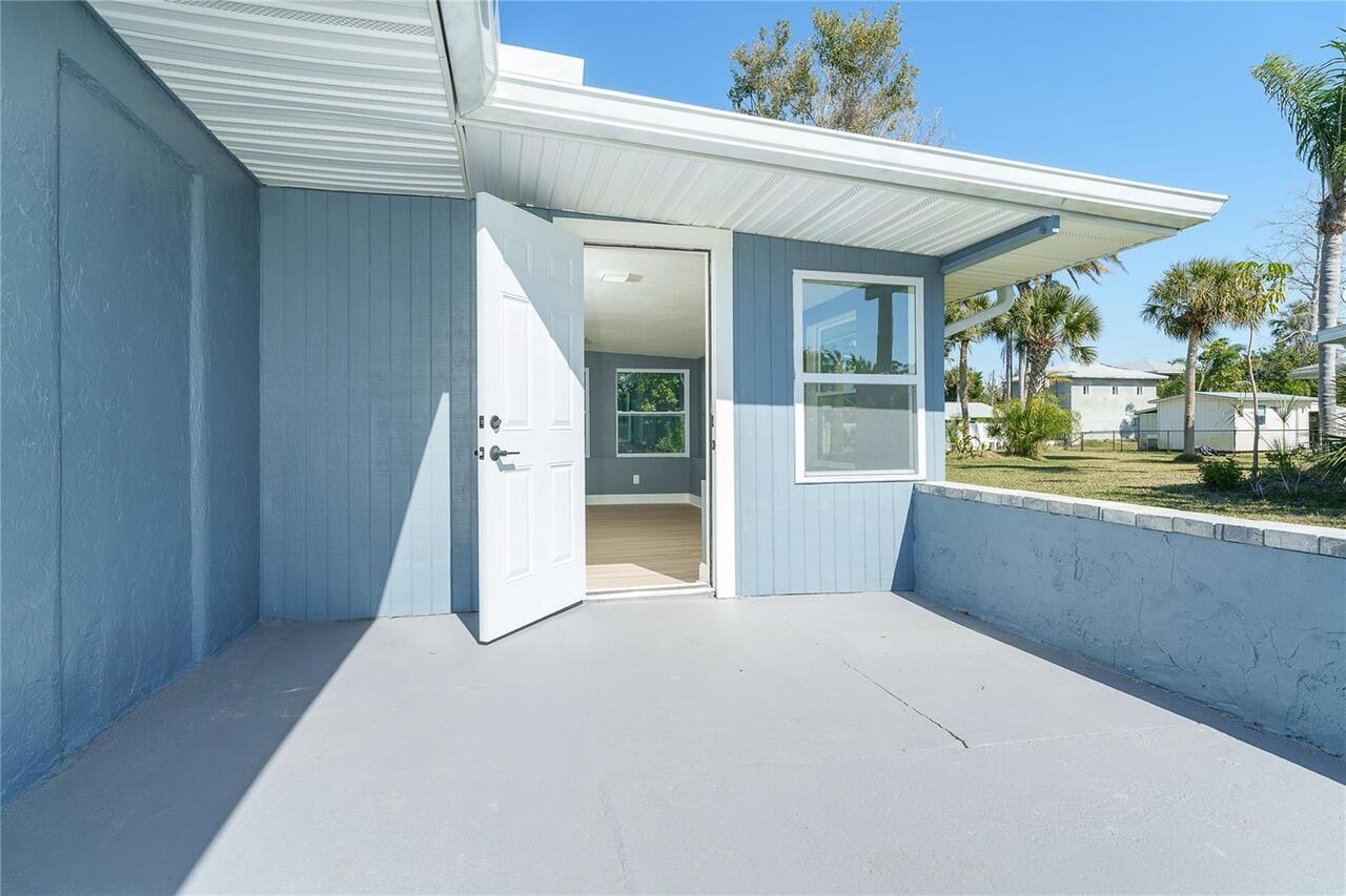
Exterior Features
Private Mailbox
Flood Zone Date
2022-12-15
Flood Zone Panel
12015C0189G
High School
Lemon Bay High
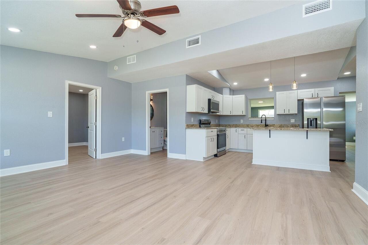
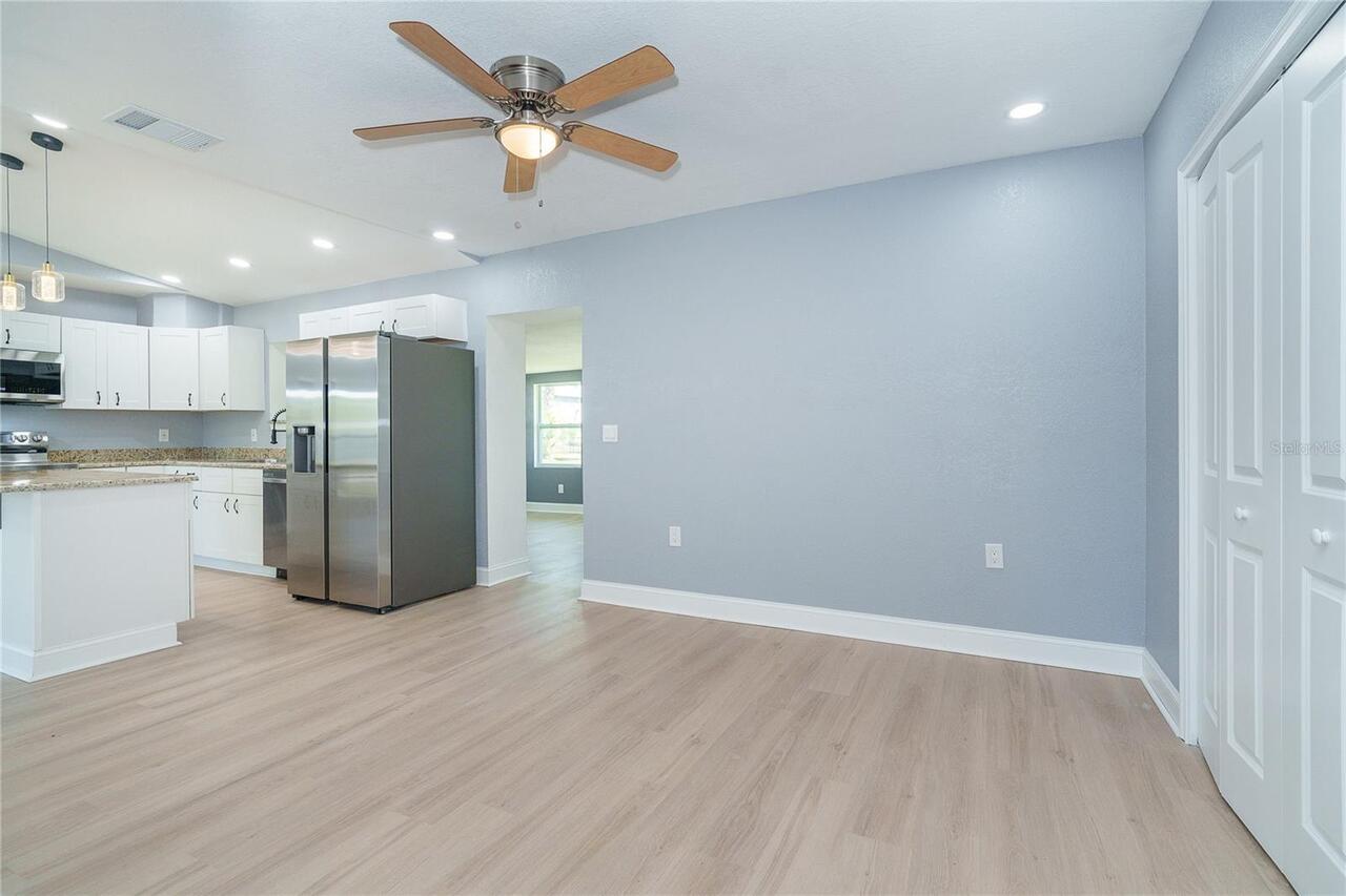
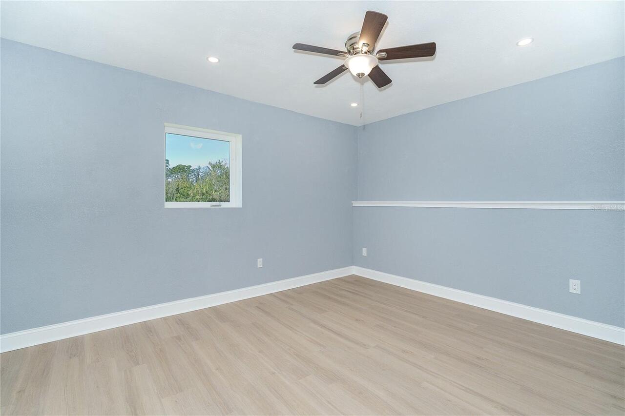
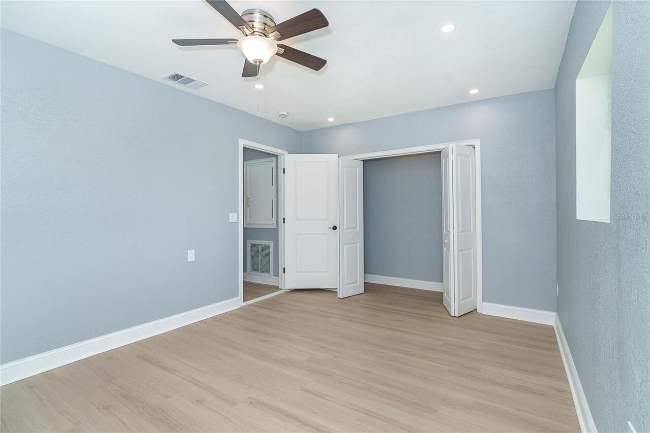
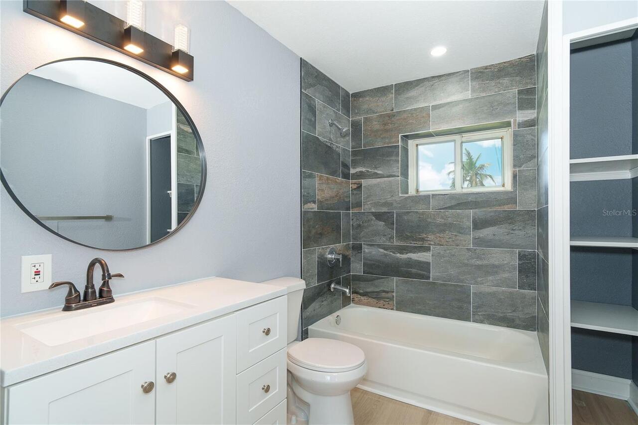
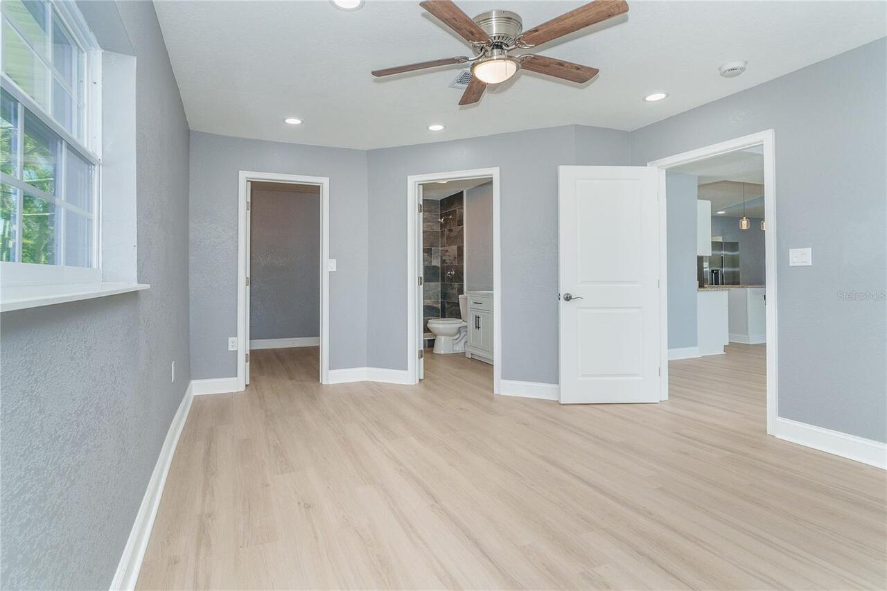
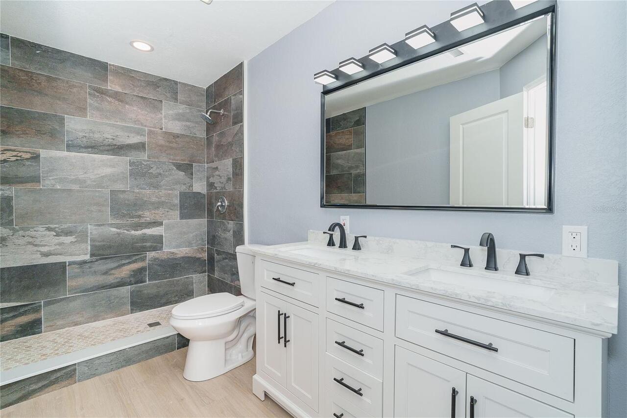
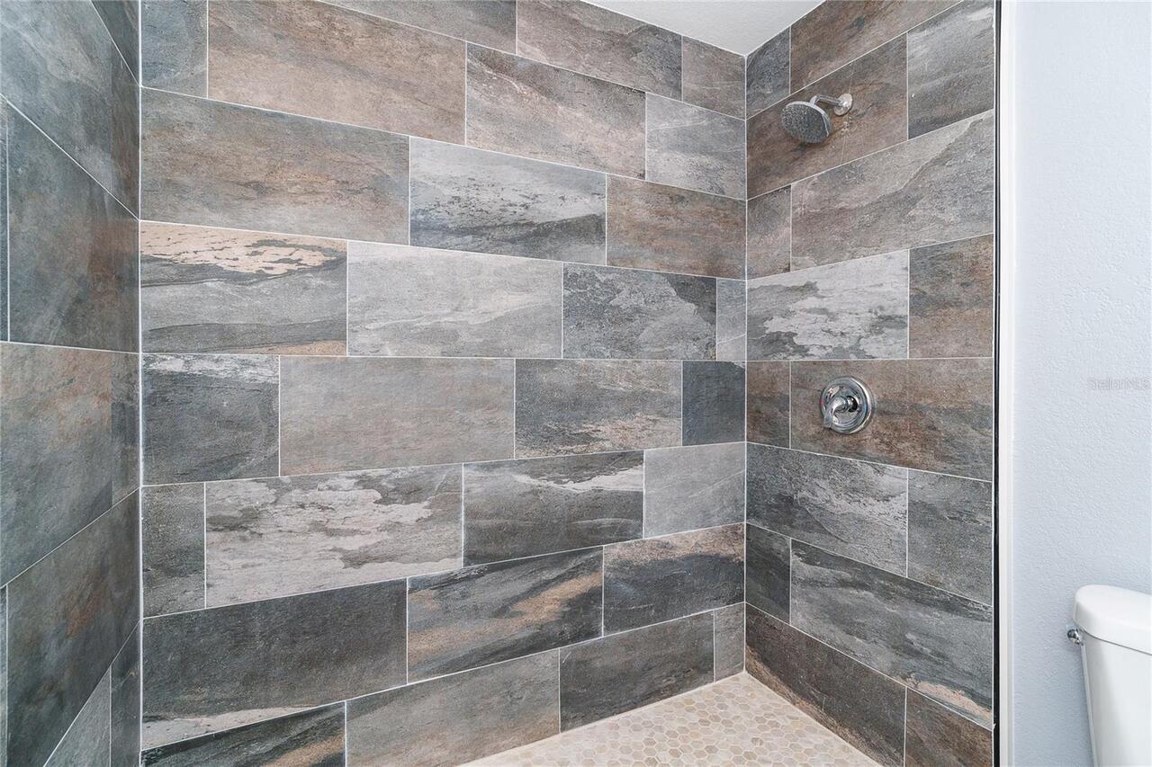
Interior Features
Ceiling Fans(s), Kitchen/Family Room Combo, Thermostat, Vaulted Ceiling(s), Walk-In Closet(s)
Internet Address Display YN
true
Internet Automated Valuation Display YN
true
Internet Consumer Comment YN
true
Internet Entire Listing Display YN
true
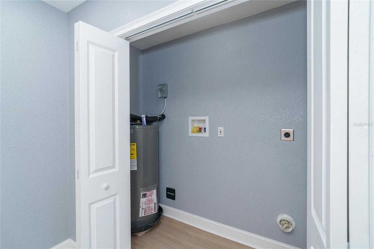
Laundry Features
Laundry Closet
Living Area Units
Square Feet
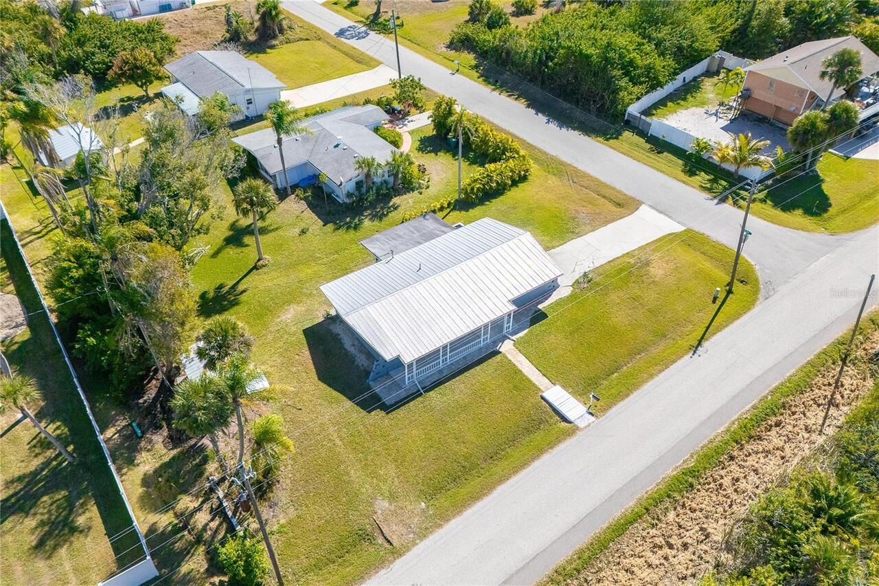
Lot Size Square Feet
11060
Lot Size Square Meters
1028
Middle Or Junior School
L.A. Ainger Middle
Modification Timestamp
2026-05-12T20:52:09.711Z
Parcel Number
412021130014
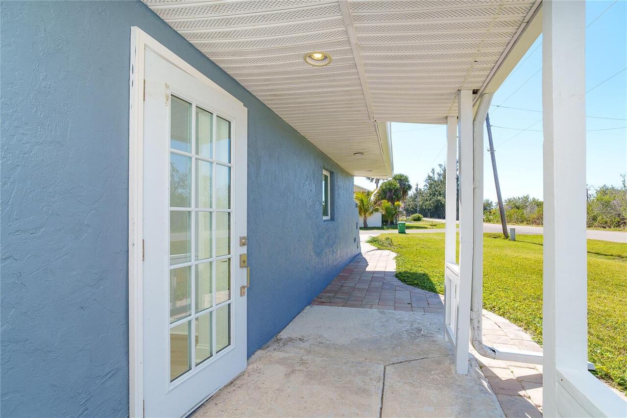
Patio And Porch Features
Front Porch, Side Porch
Previous List Price
429000
Price Change Timestamp
2026-04-24T13:10:32.000Z
RATIO Current Price By Calculated SqFt
268.87
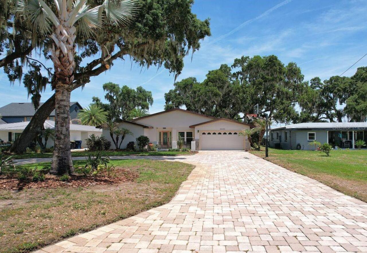
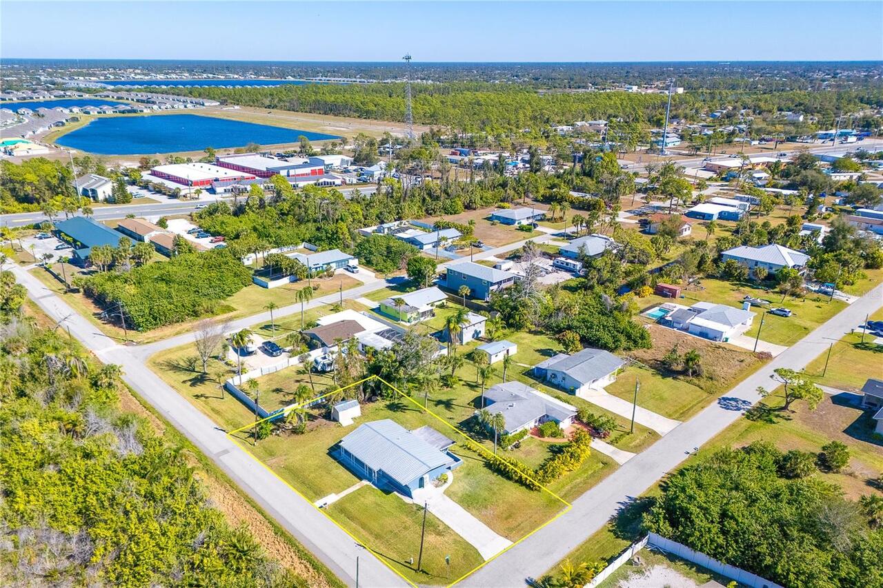
SW Subdiv Community Name
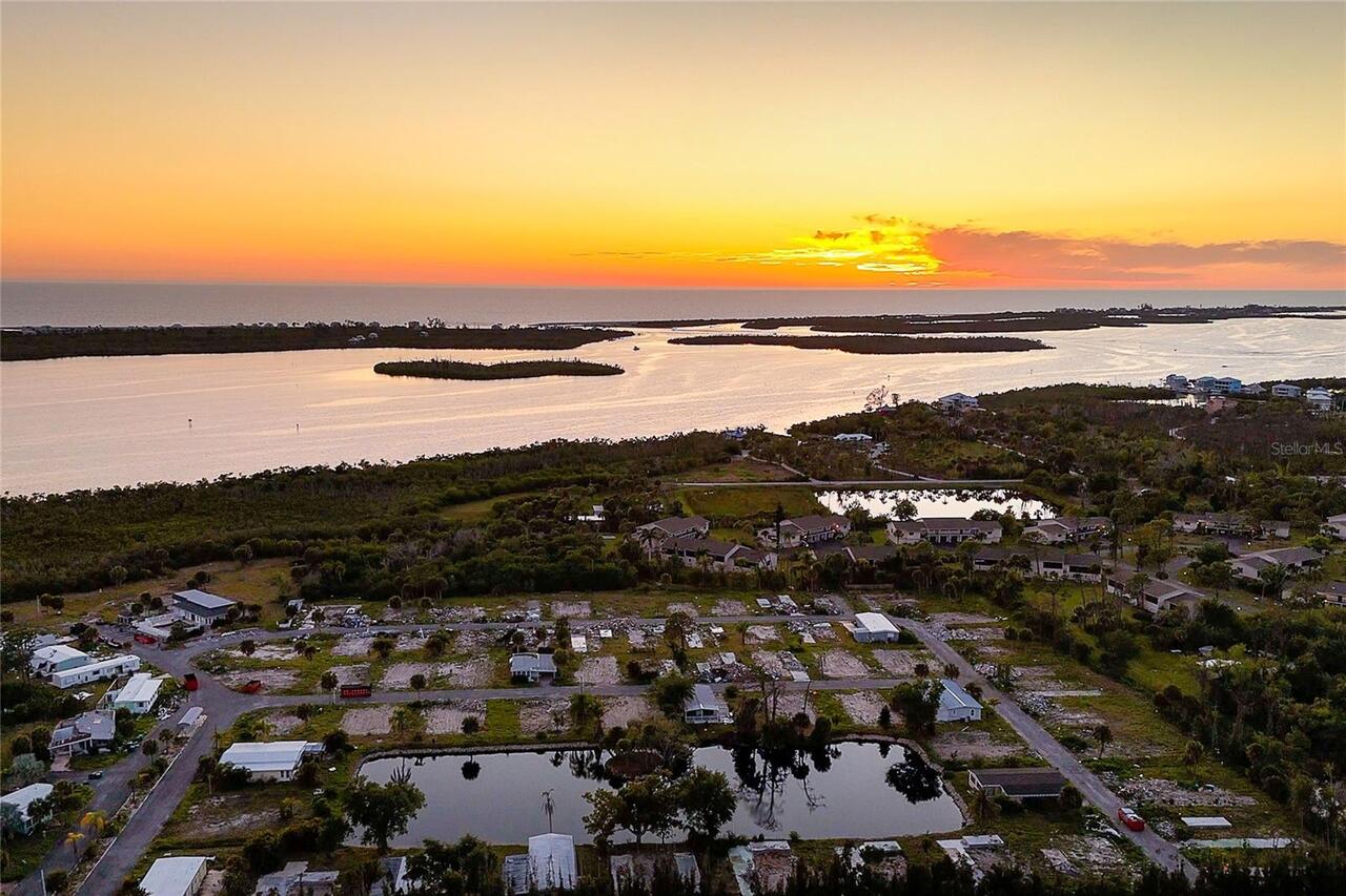
Pine Cove
Showing Requirements
Supra Lock Box
Status Change Timestamp
2026-02-09T21:09:14.000Z
Tax Legal Description
PIC 000 0000 0024 PINE COVE LT 24 611/1605 680/606 820/491 PR88-915 1100/1663 1335/1062 1507/518 CT1856/380 1861/1752 1968/600 2069/1856 2705/199 2819/694 BL24-2819/695 2843/1524 3752/806 3768/321 DC4970/1940-JRR 5037/1882&BDS24 3560883 Boat Slip Description: PINE COVE BOAT LT 24 611/1605 679/606 820/491 PRO88-915-TG 1100/1663 1335/1062 1507/517 CT1856/380 1861/1752 1968/600 2069/1856 2705/199 2819/695 2843/1525 3752/806 3768/321 DC4970/1940-JRR 3142819 3560883/
Total Acreage
1/4 to less than 1/2
Universal Property Id
US-12015-N-412021130014-R-N
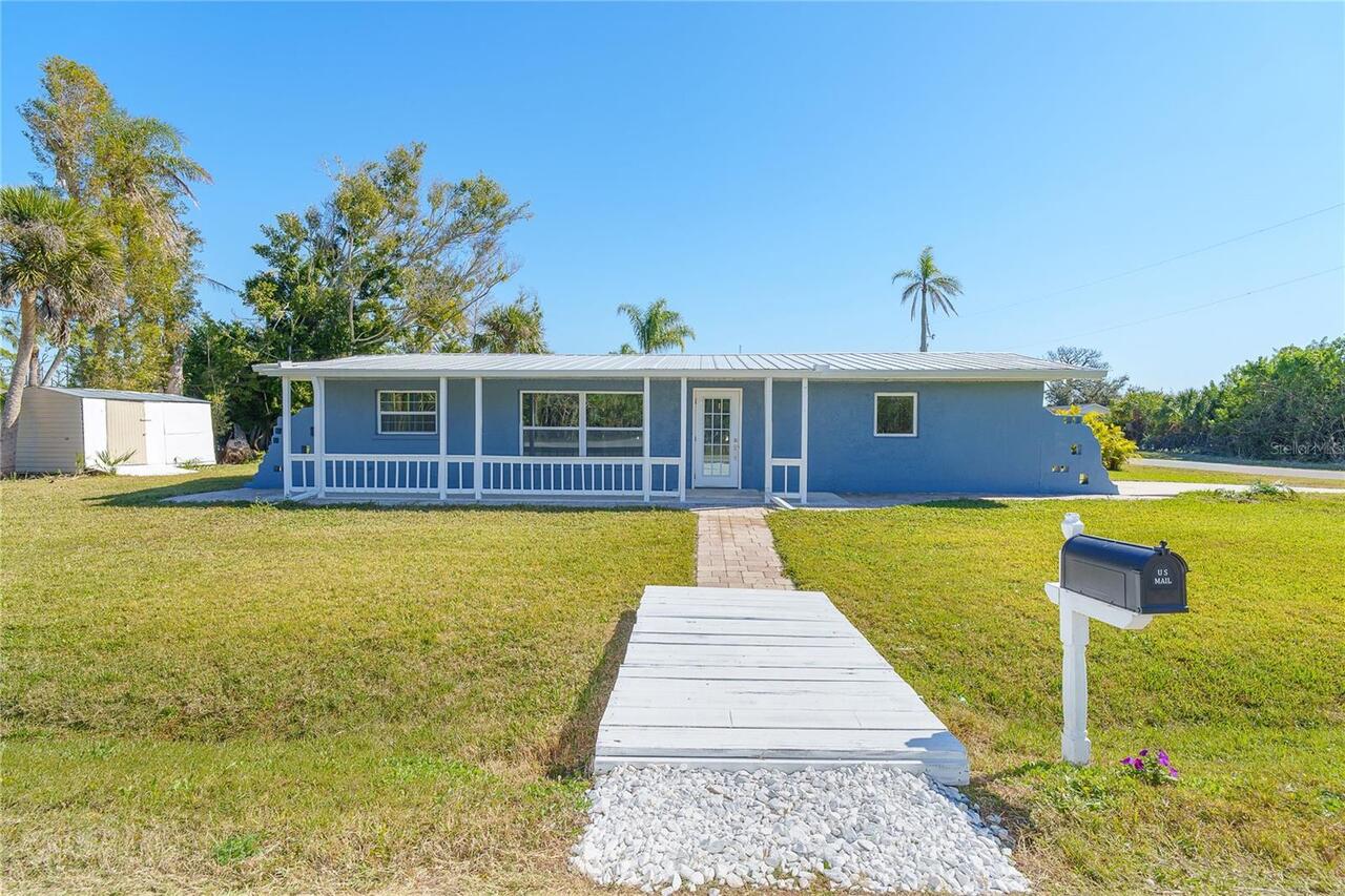
Unparsed Address
9080 GRIGGS RD
Utilities
Cable Available, Electricity Connected, Sewer Connected
Water Extras
Assigned Boat Slip, Seawall - Concrete