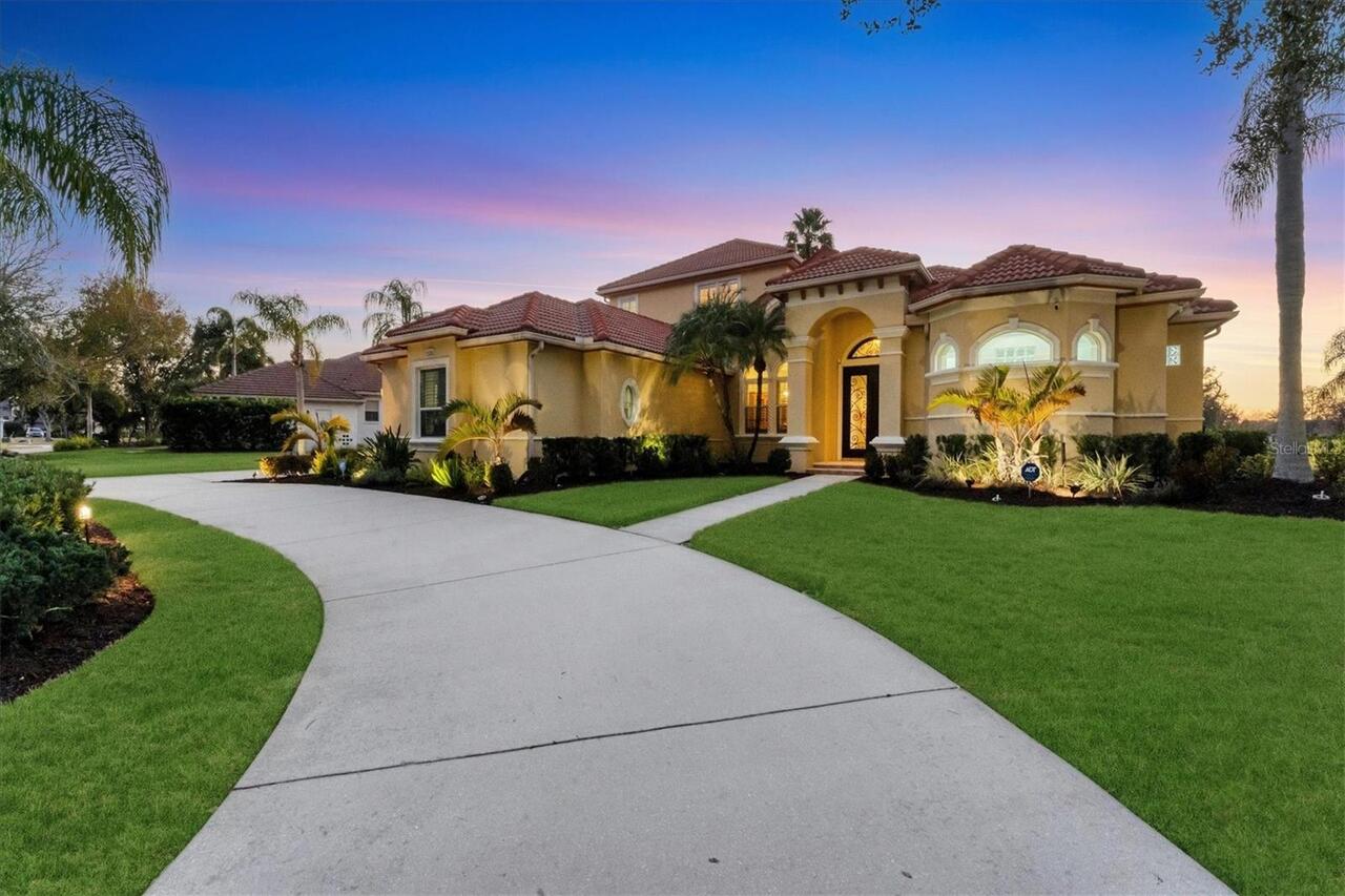
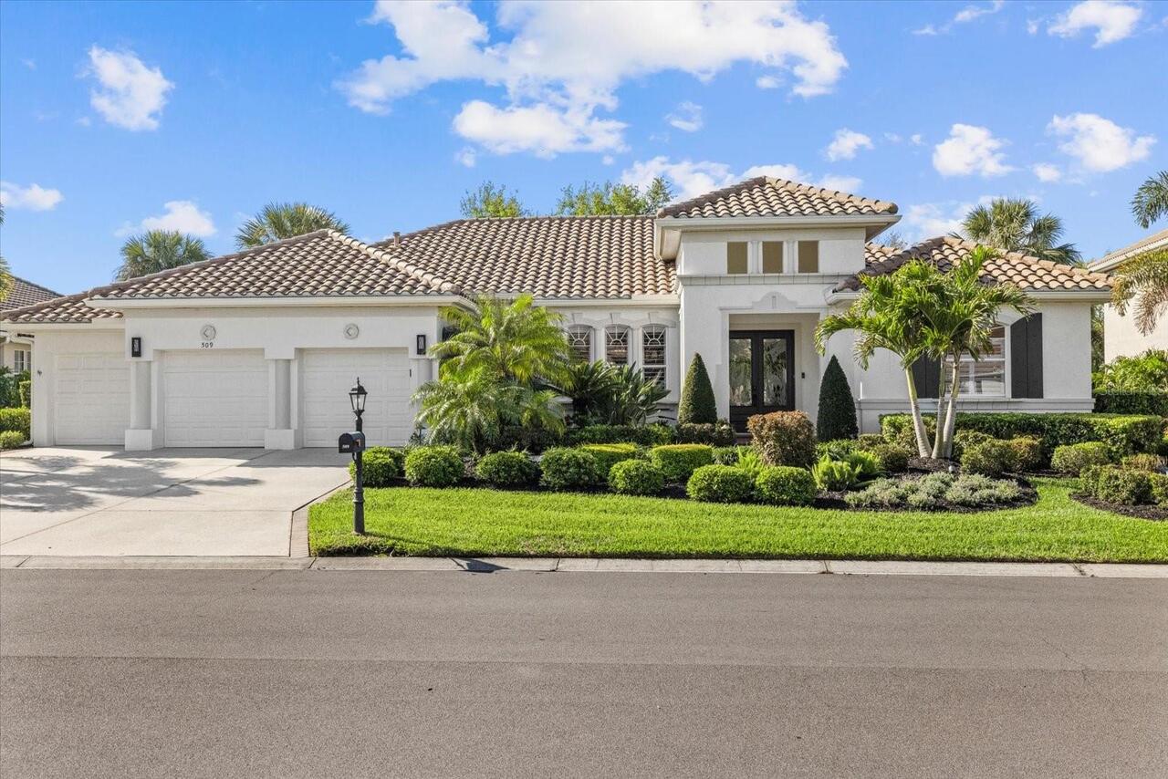
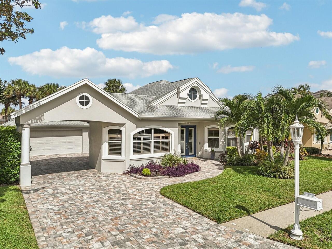
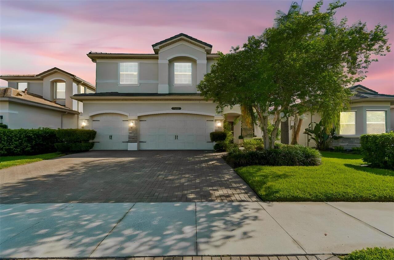
Property Features
Property Sub Type
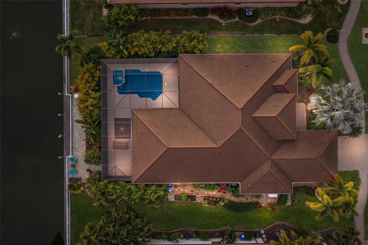
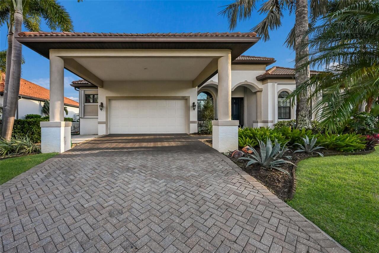
Single Family Residence
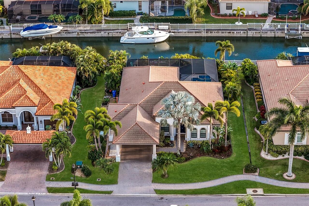
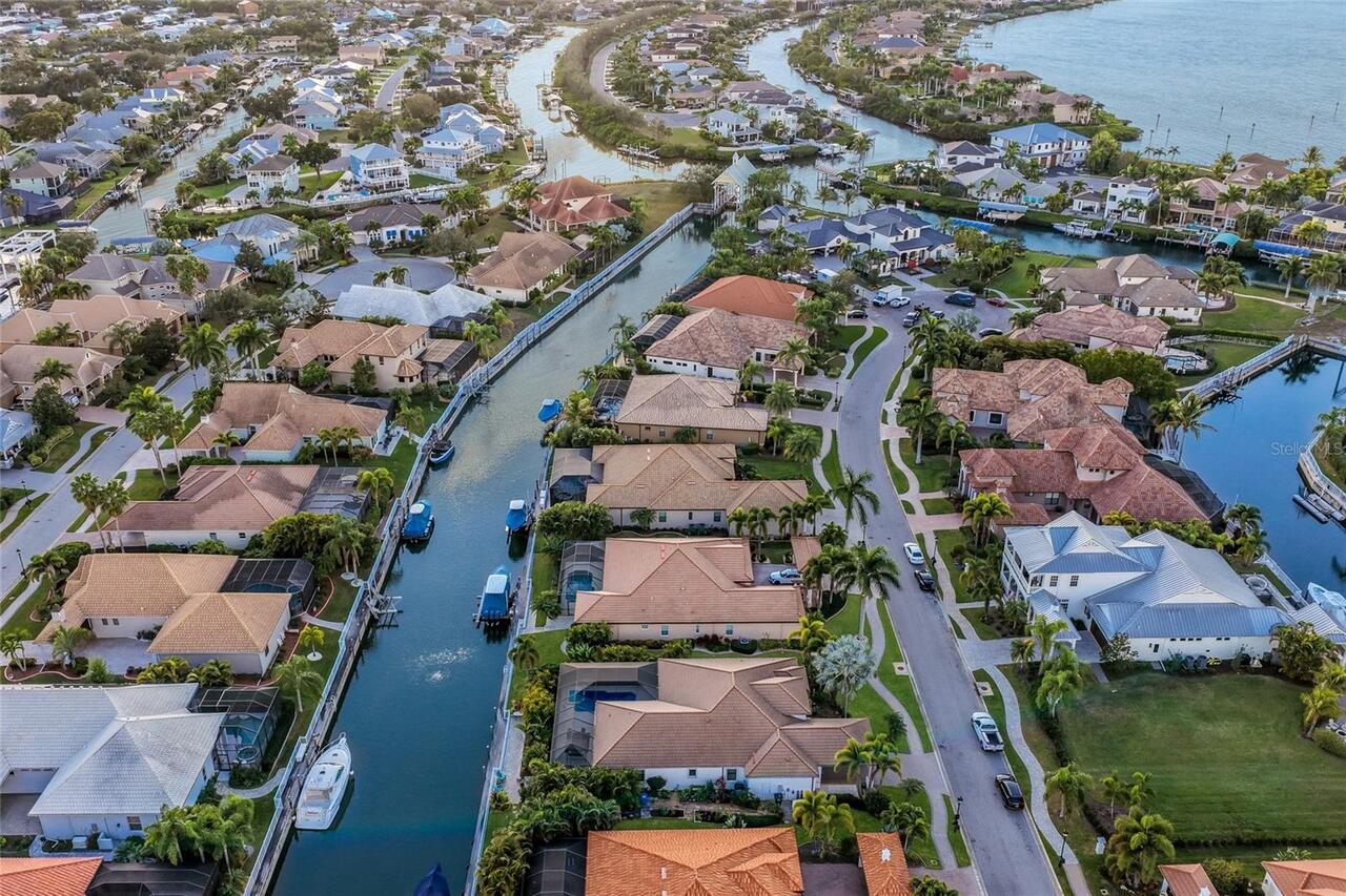
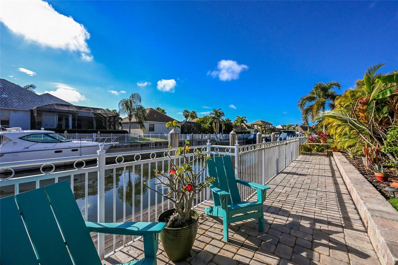
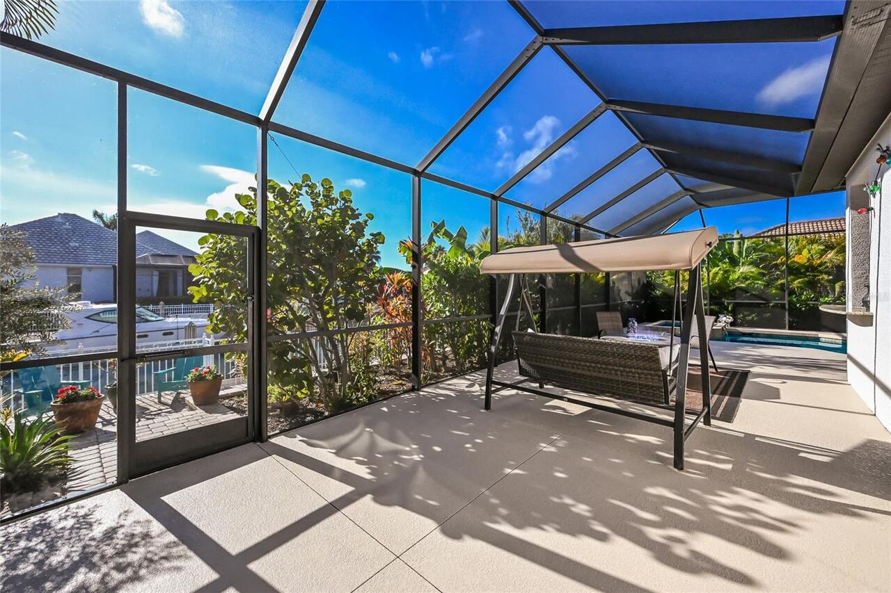
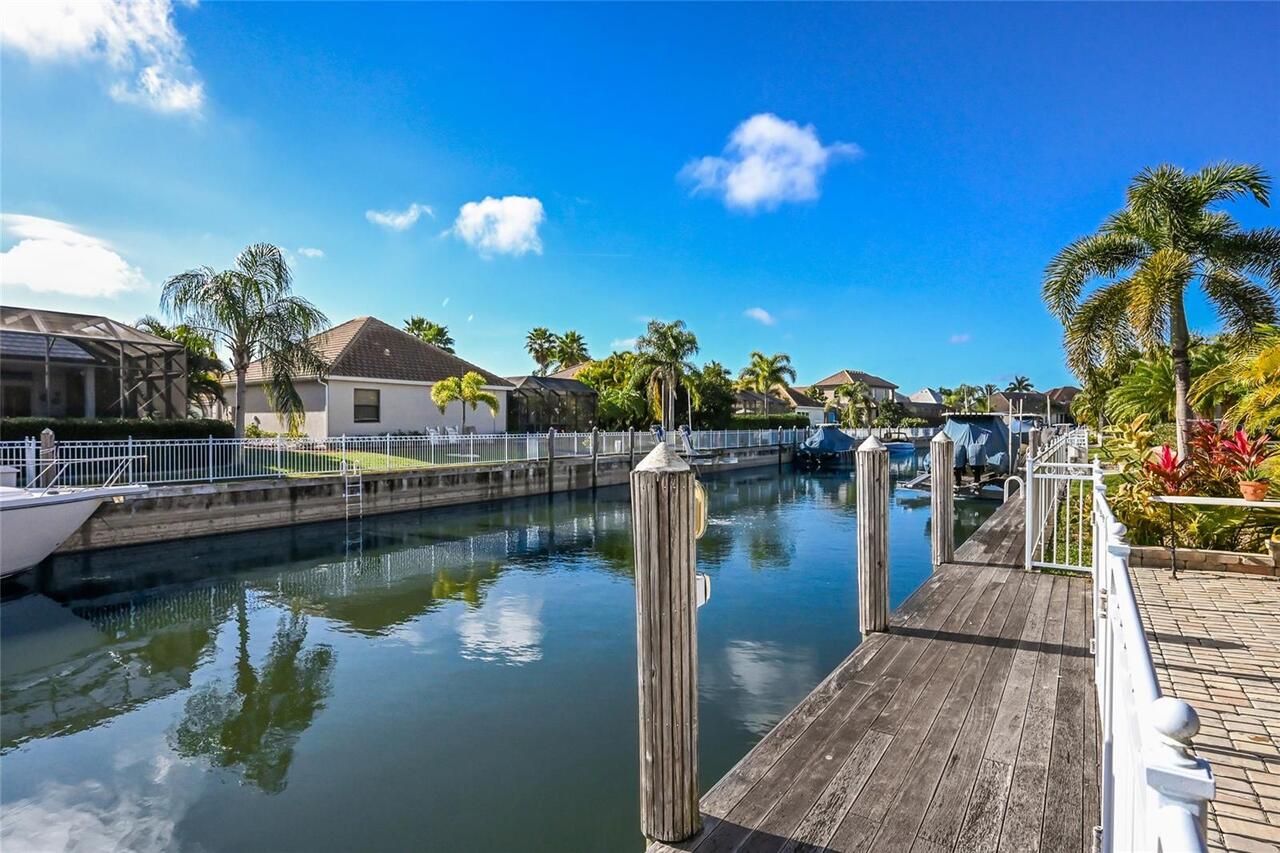
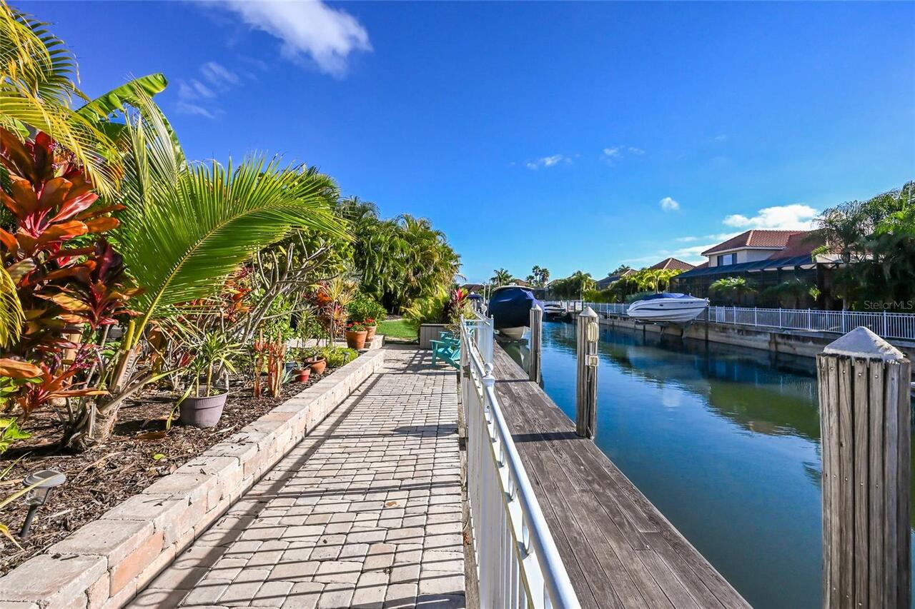
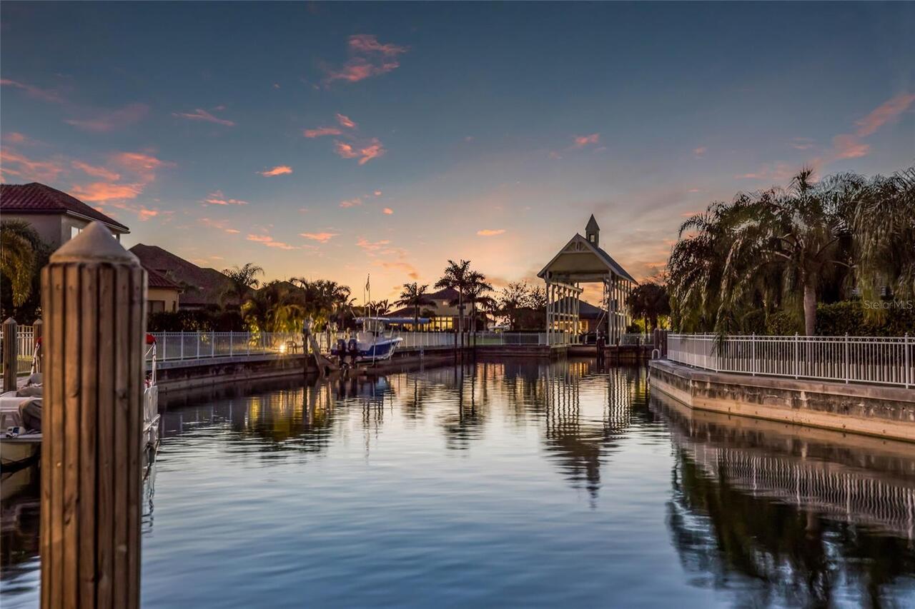
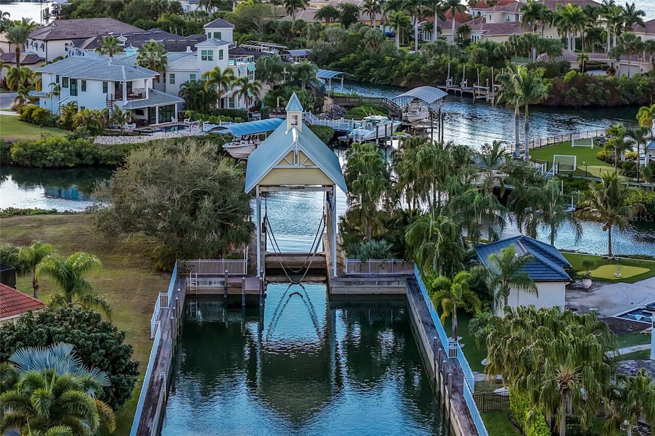
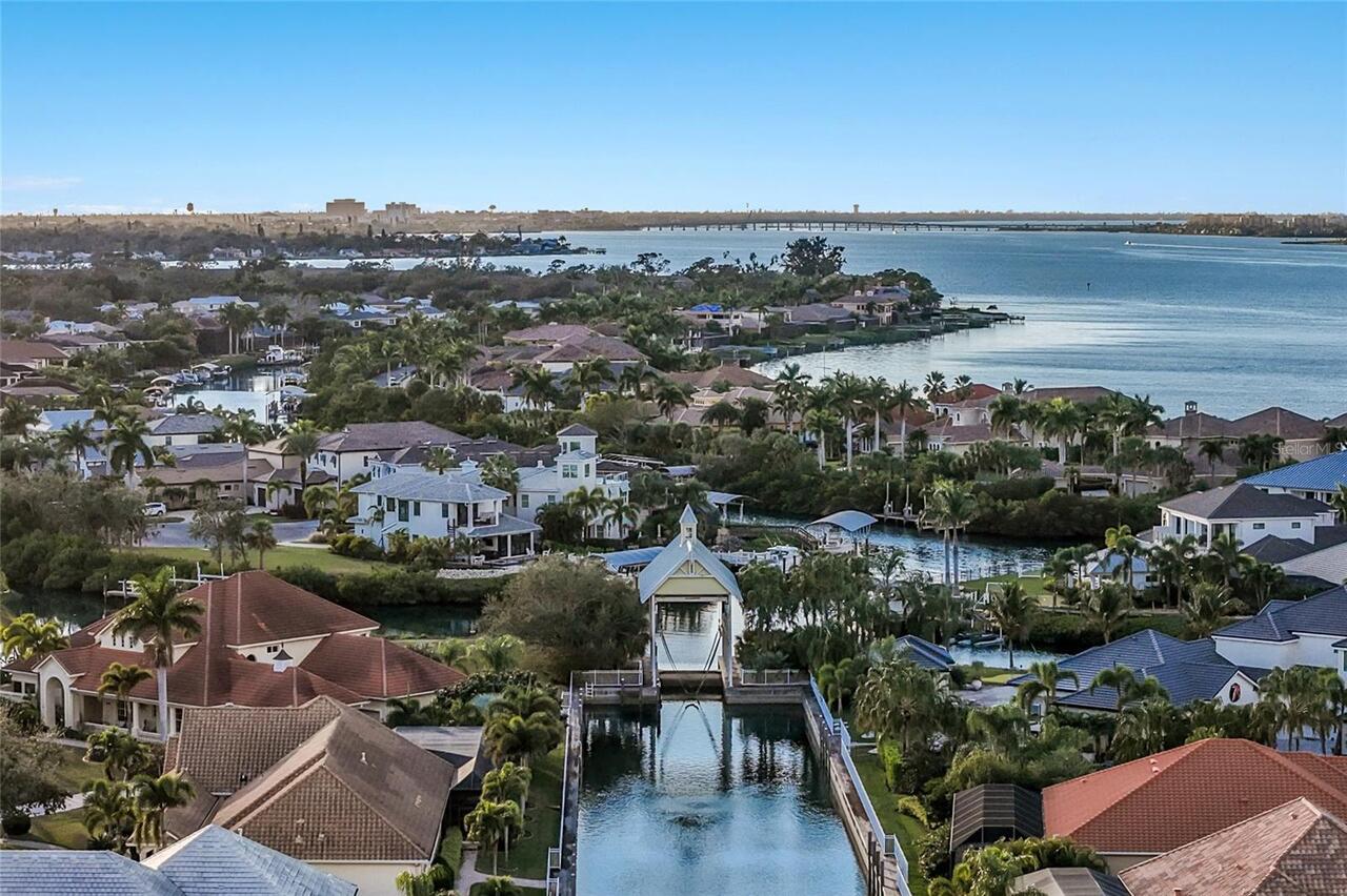
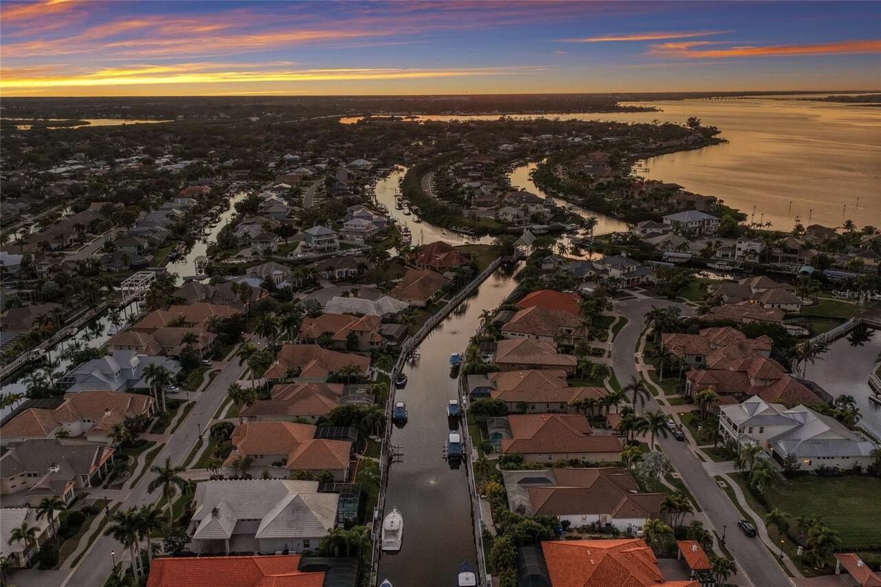
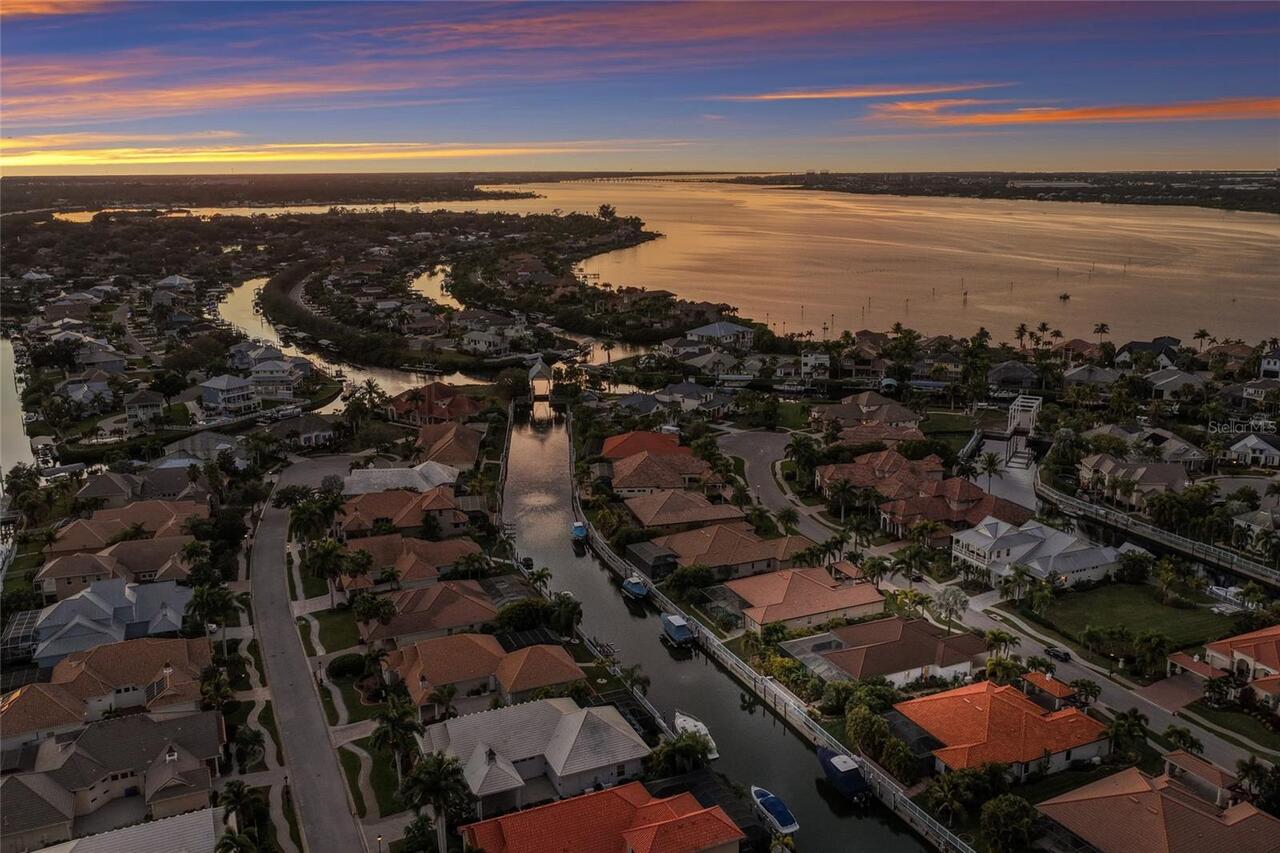
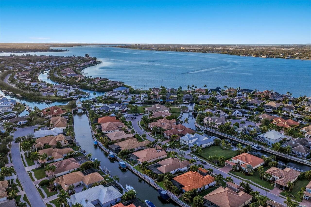
Frontage
Canal - Freshwater
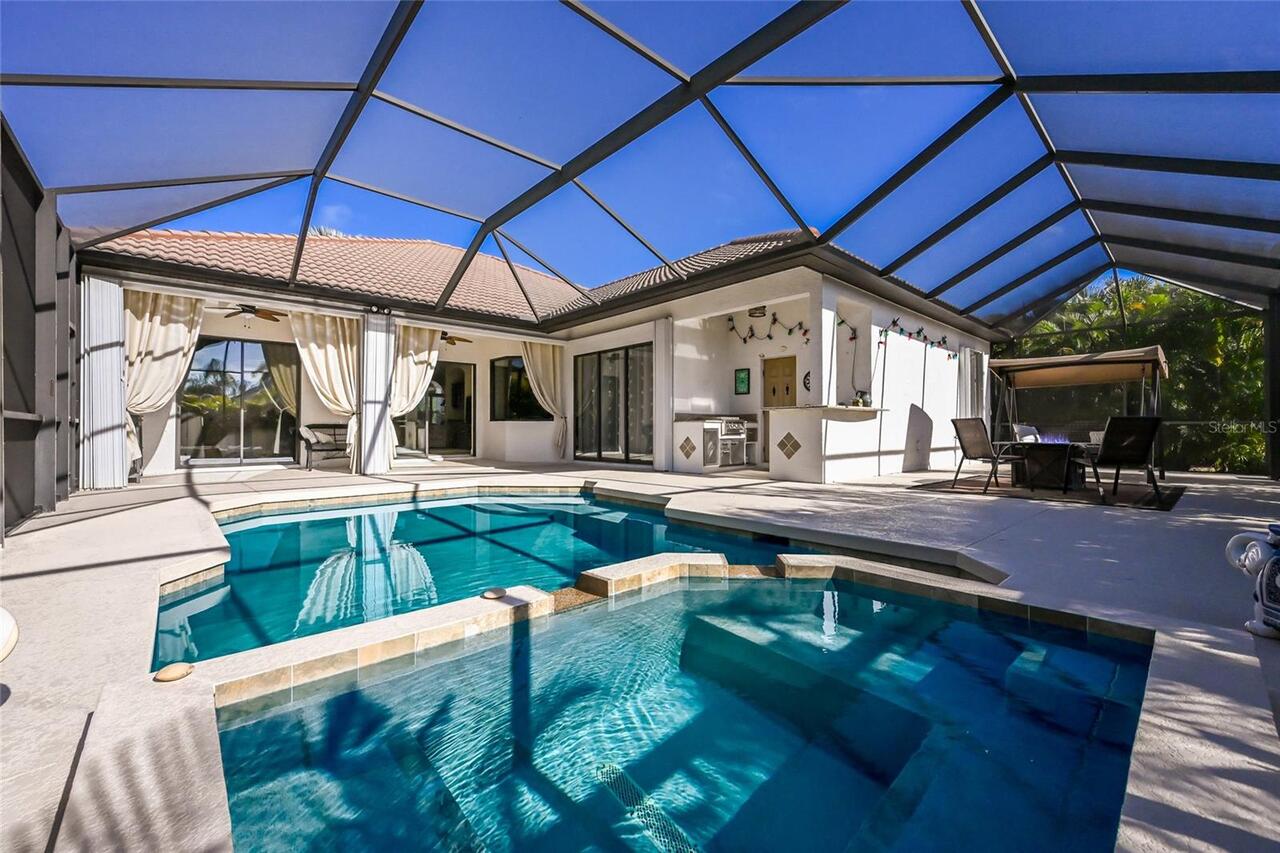
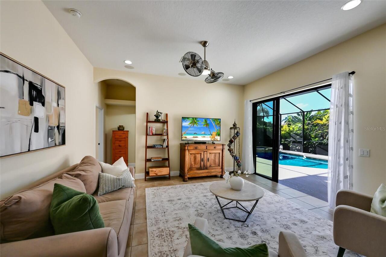
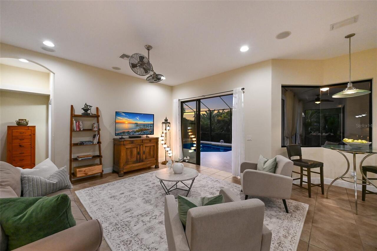
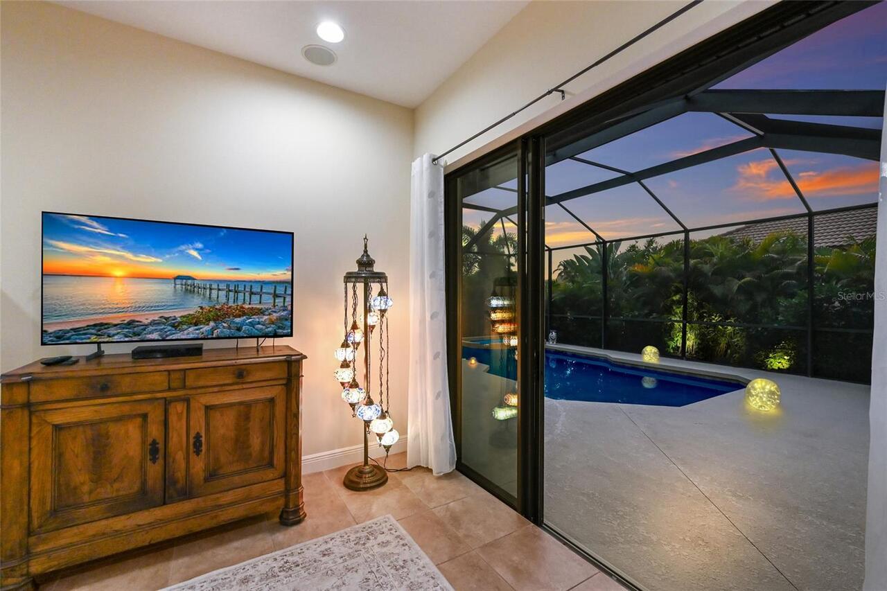
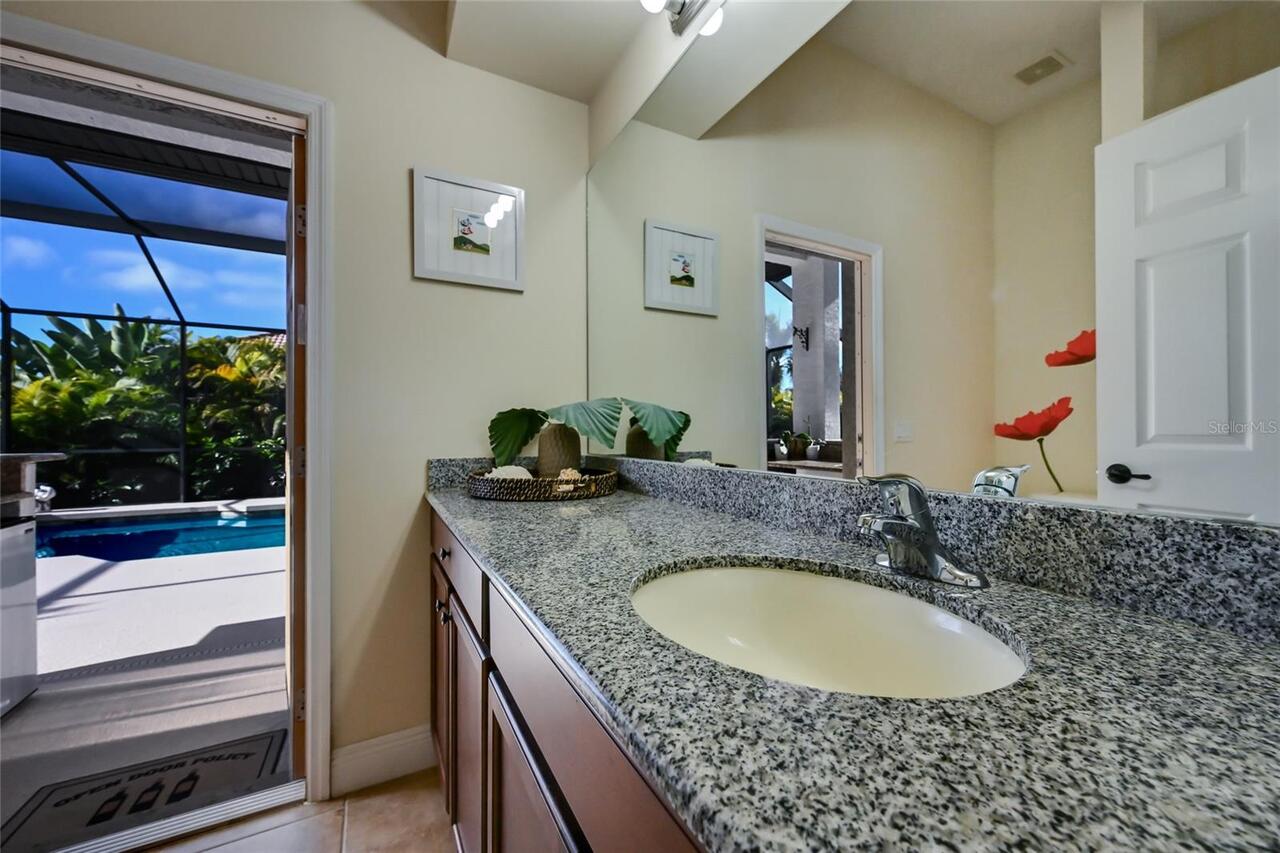
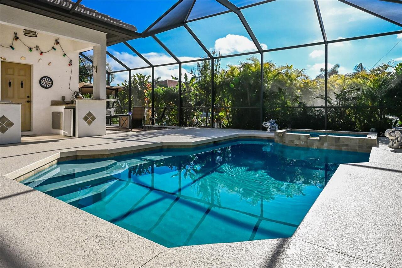
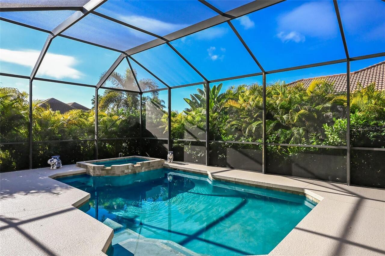
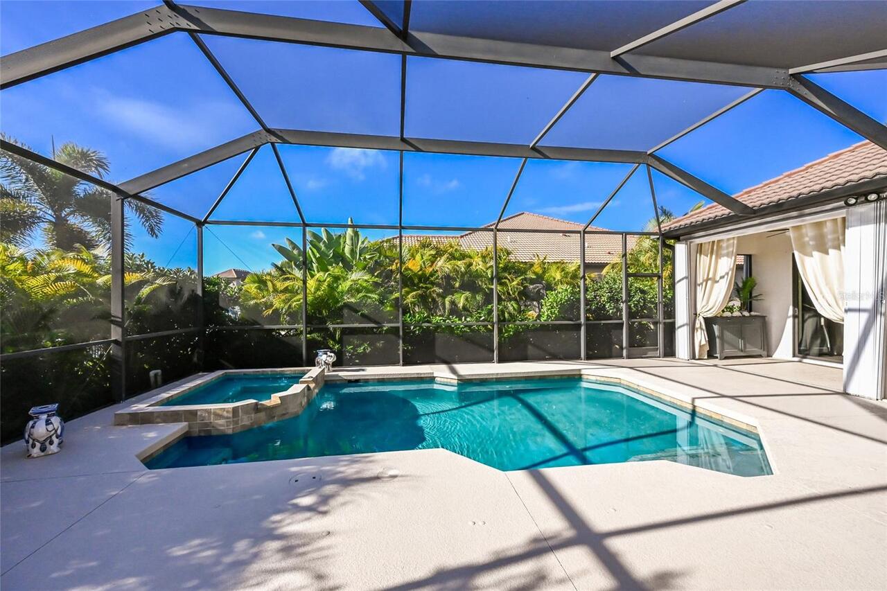
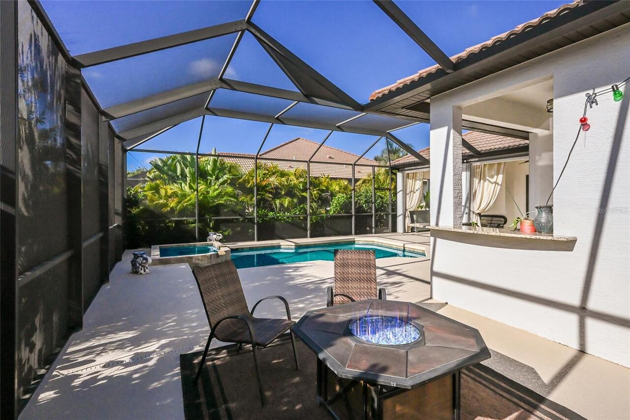
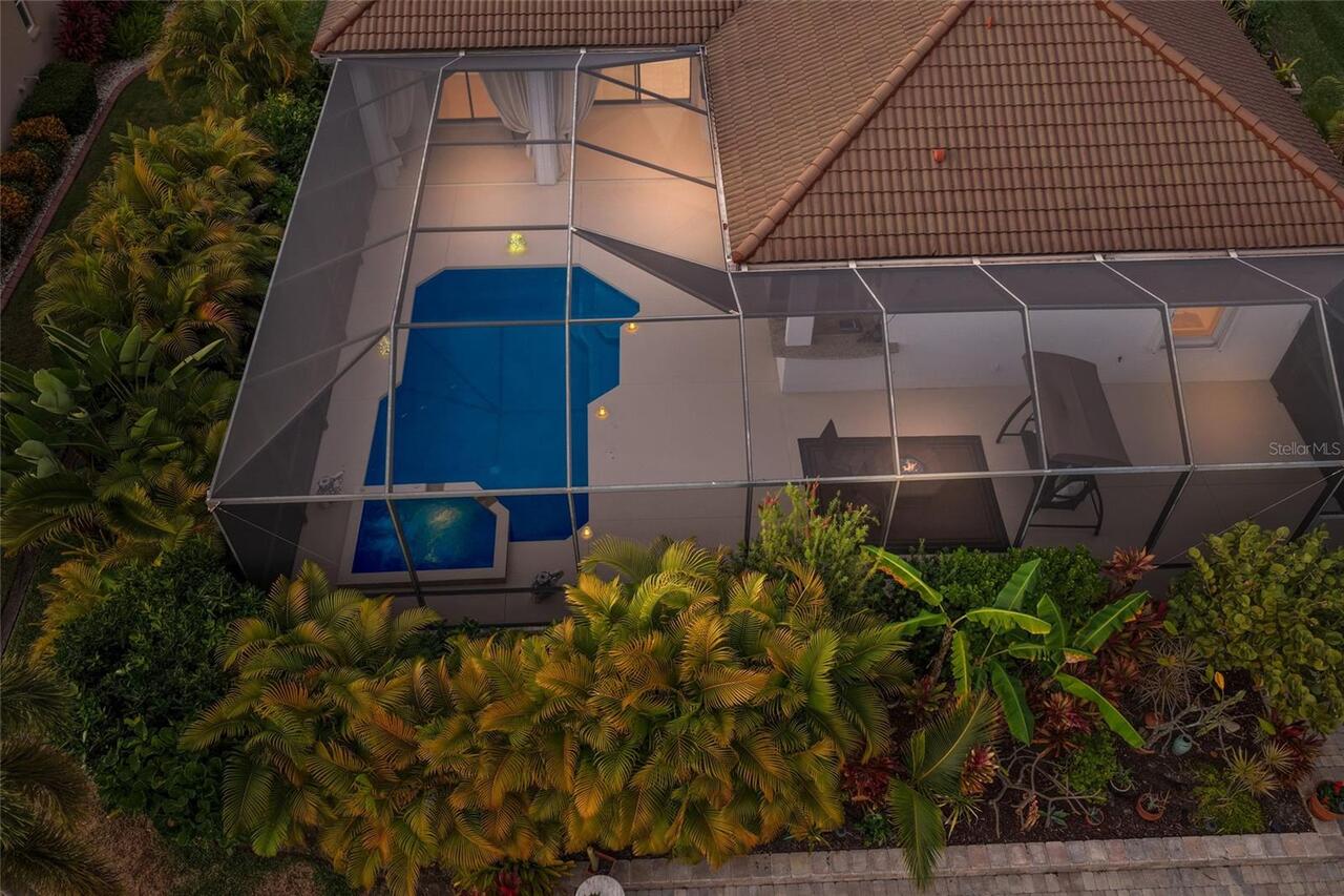
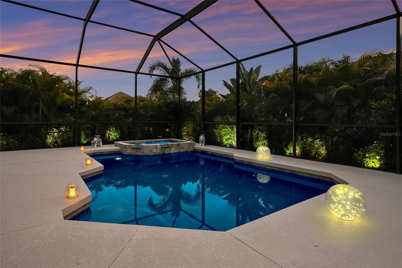
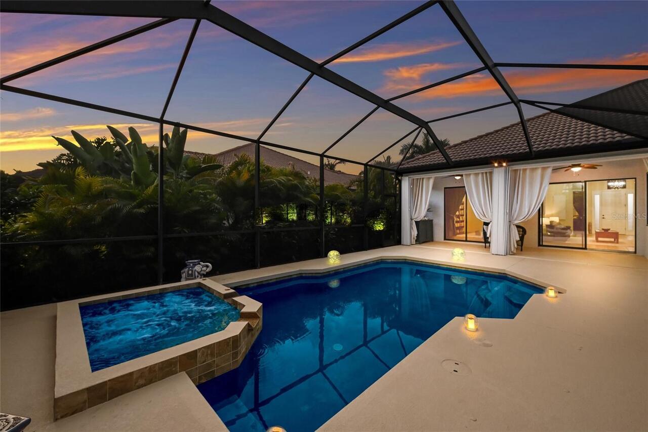
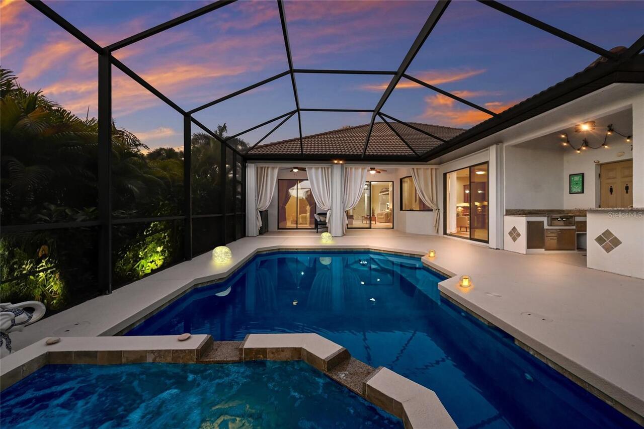
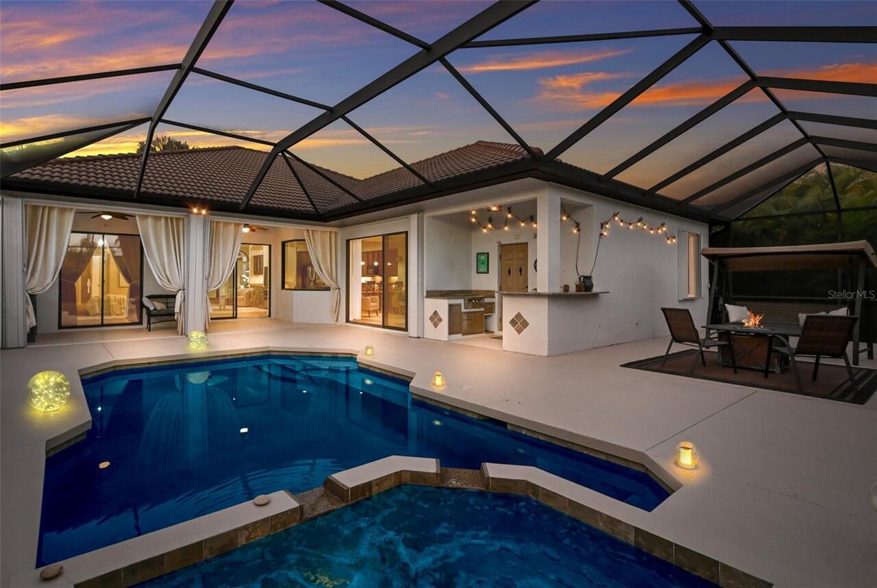
Pool
Screen Enclosure, Heated, Gunite, Lighting, Outside Bath Access, Self Cleaning, In Ground, Salt Water
Additional Information
Additional Lease Restrictions
See HOA Docs.
Additional Parcels YN
false
Alternate Key Folio Num
1077404709
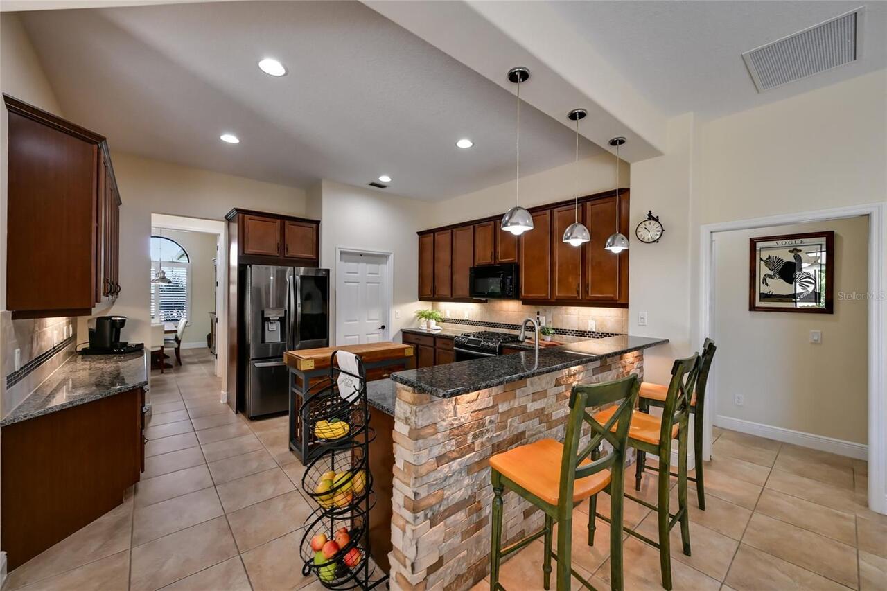
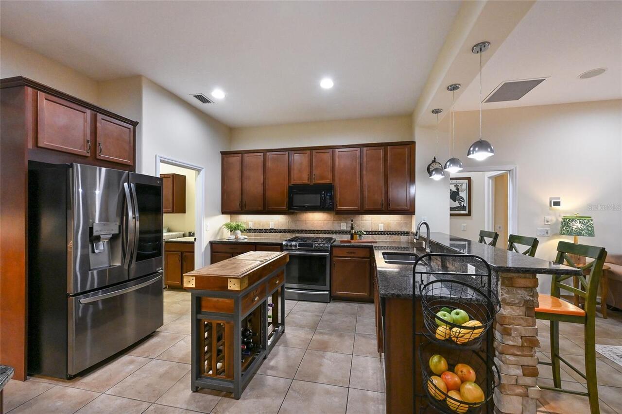
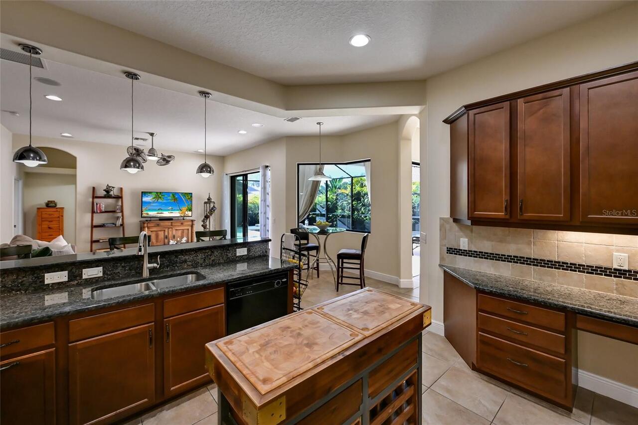
Appliances
Built-In Oven, Dishwasher, Disposal, Dryer, Microwave, Range, Refrigerator, Washer
Approval Process
See HOA Docs.
Association Fee Frequency
Semi-Annually
Association Fee Requirement
Required
Builder Model
Barbados VIII
Builder Name
Medallion Home
Building Area Source
Builder
Building Area Total Srch SqM
296.92
Building Area Units
Square Feet
Calculated List Price By Calculated SqFt
478.42
Construction Materials
Block, Concrete, Stucco
Cumulative Days On Market
149
Elementary School
William H. Bashaw Elementary
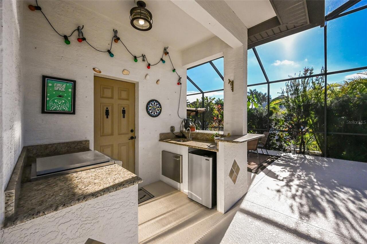
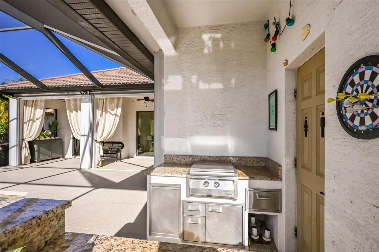
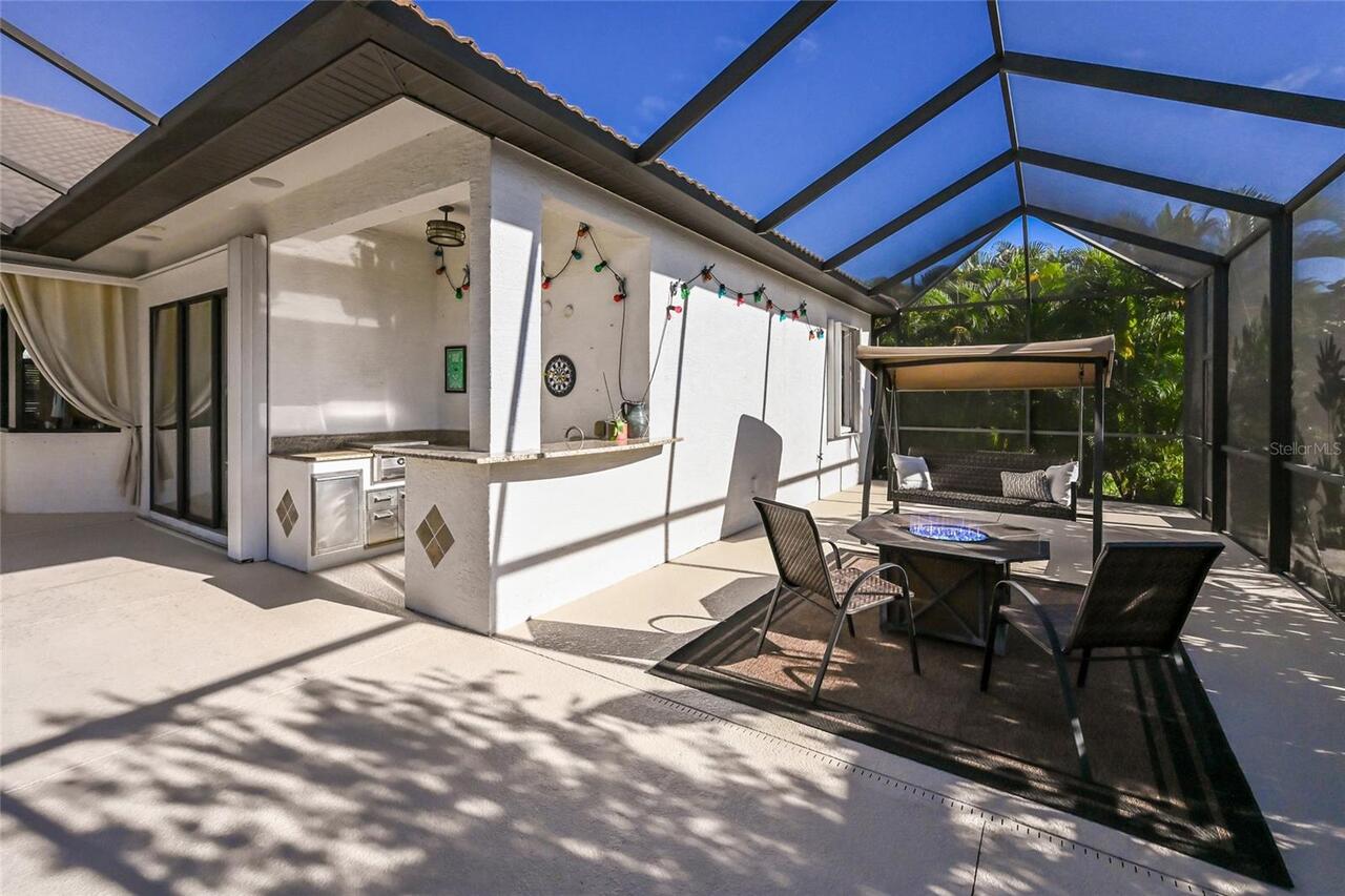
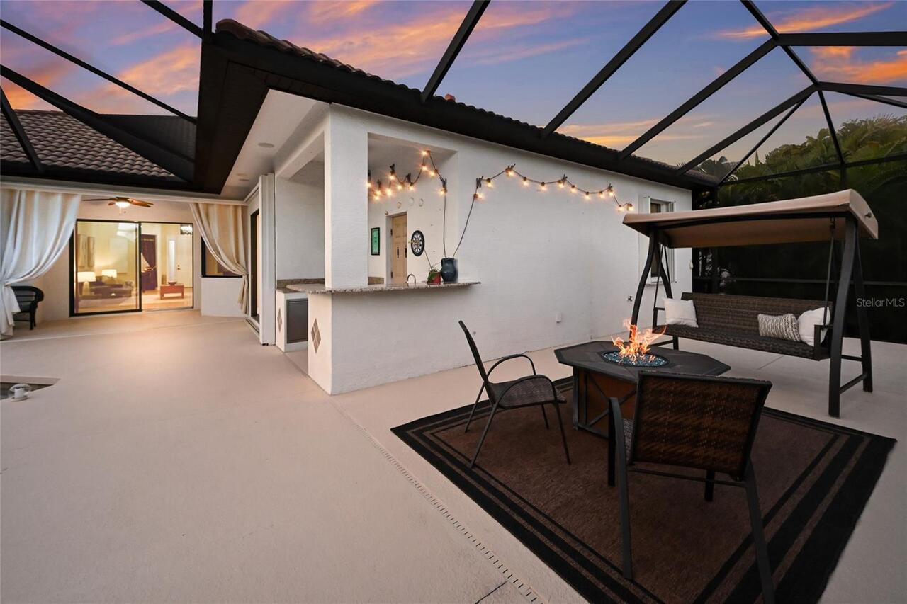
Exterior Features
Garden, Hurricane Shutters, Lighting, Outdoor Grill, Outdoor Kitchen, Private Mailbox, Sidewalk, Sliding Doors
Flood Zone Date
2021-08-10
Flood Zone Panel
12081C0169F
Foundation Details
Block, Slab
High School
Braden River High
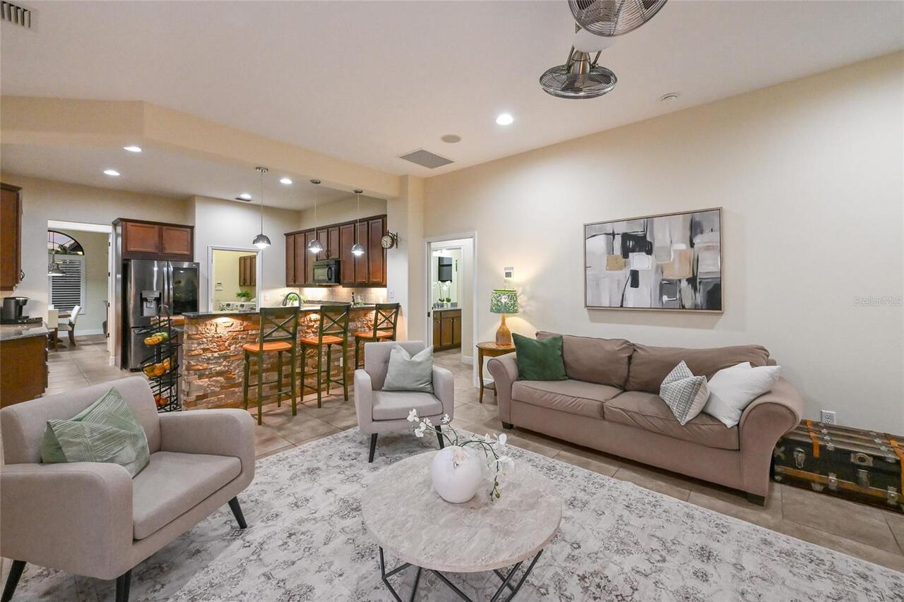
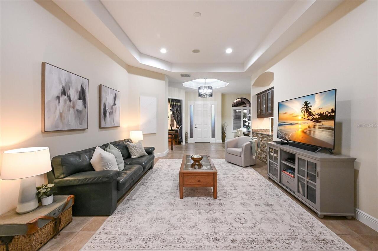
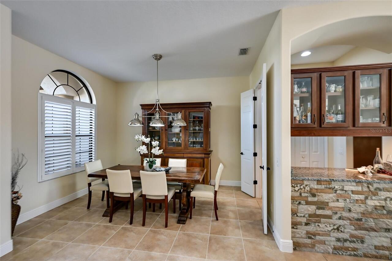
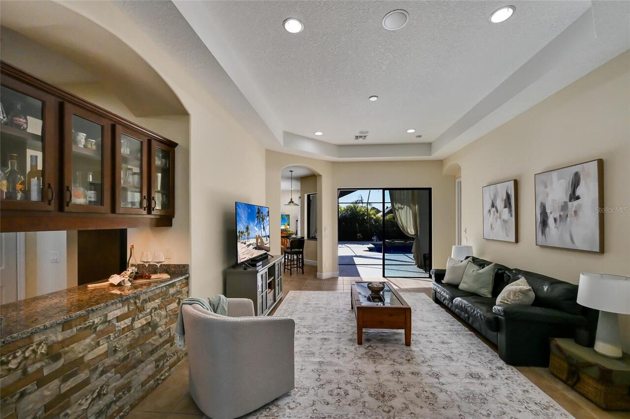
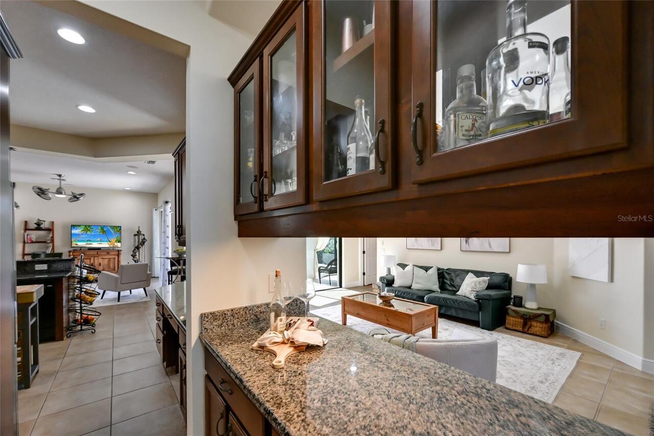
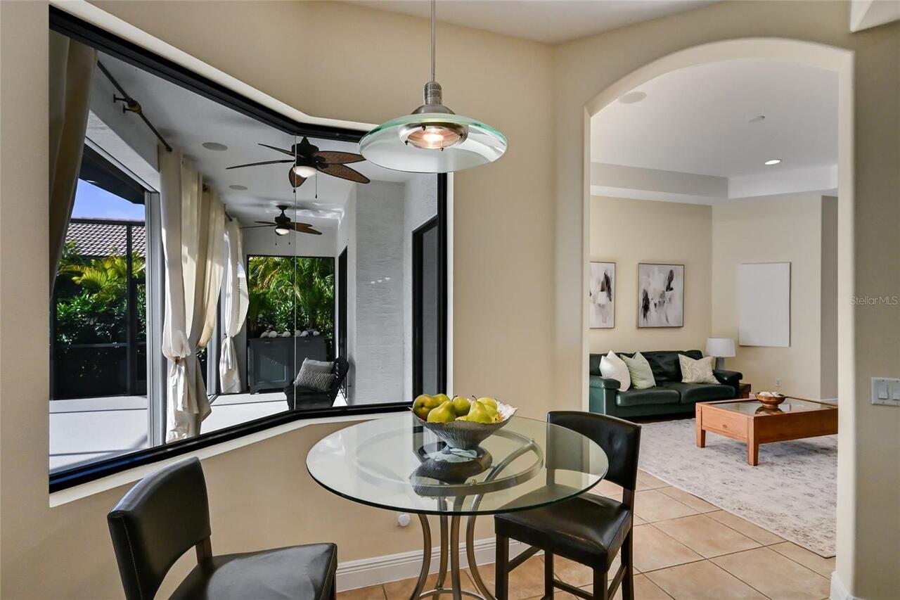
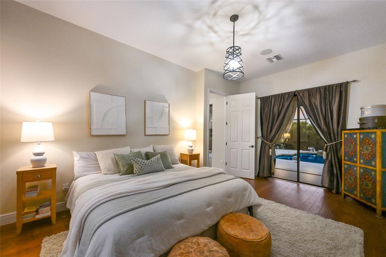
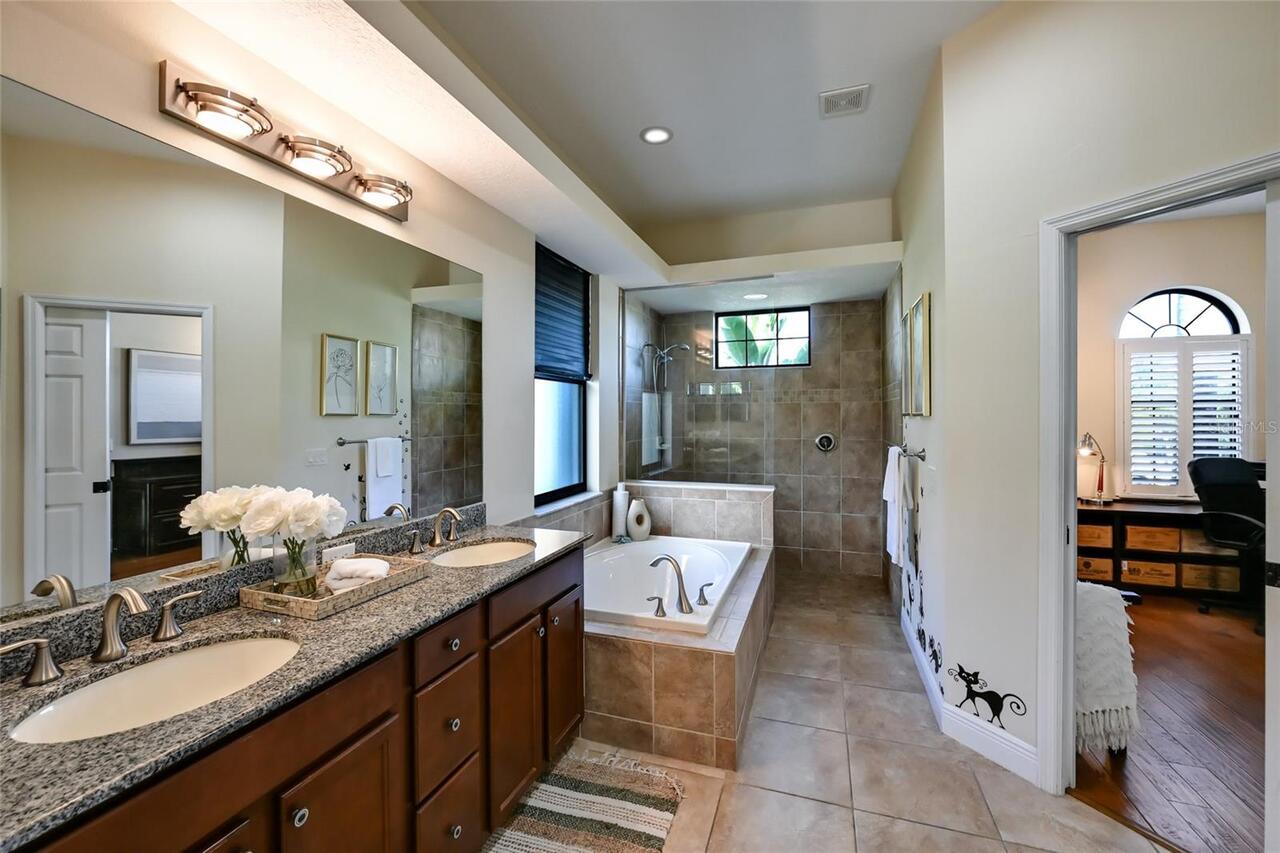
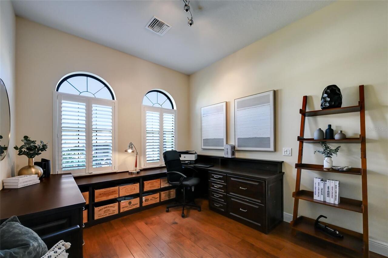
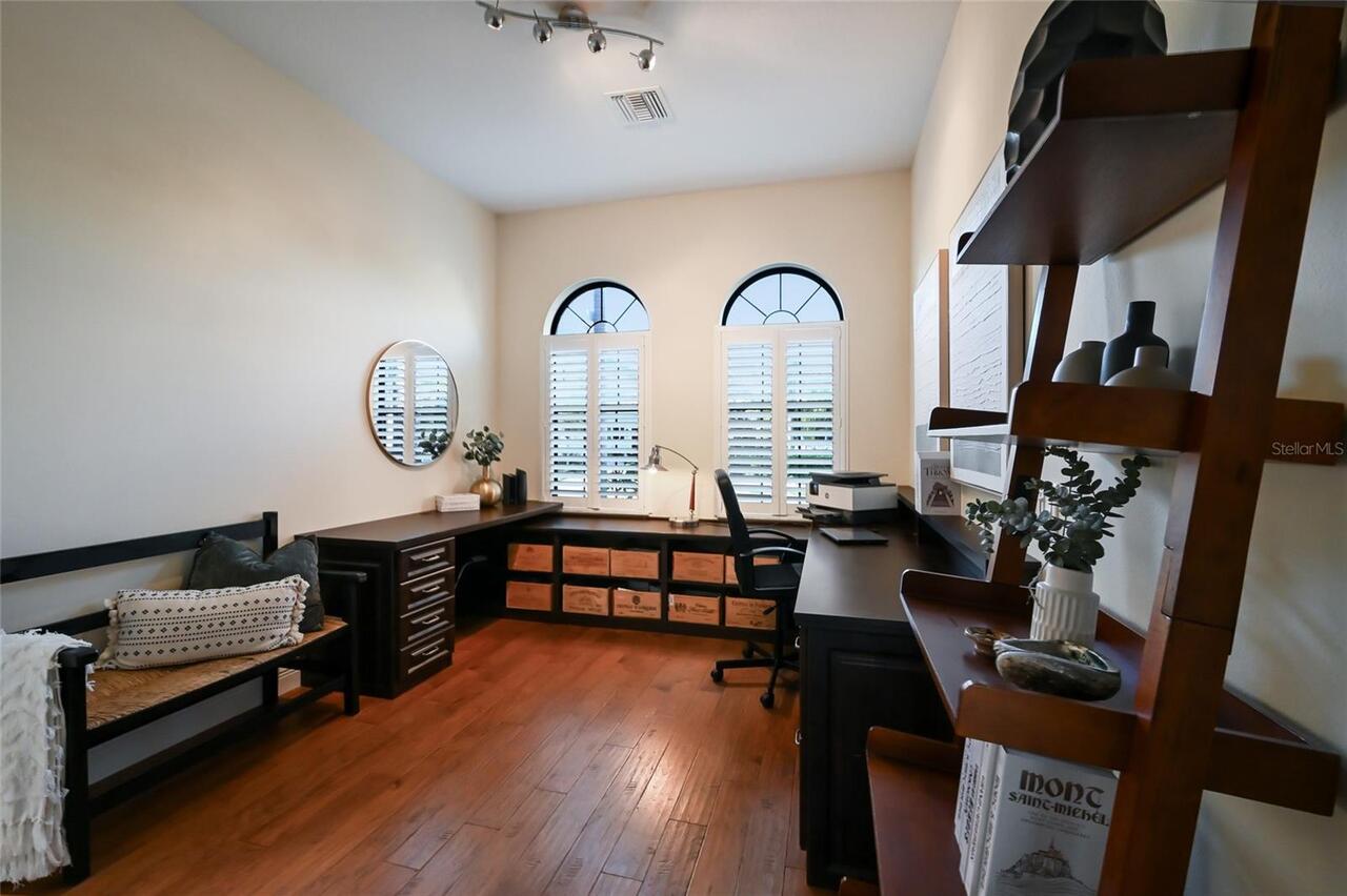
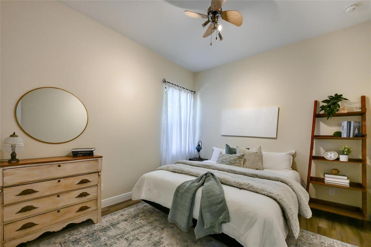
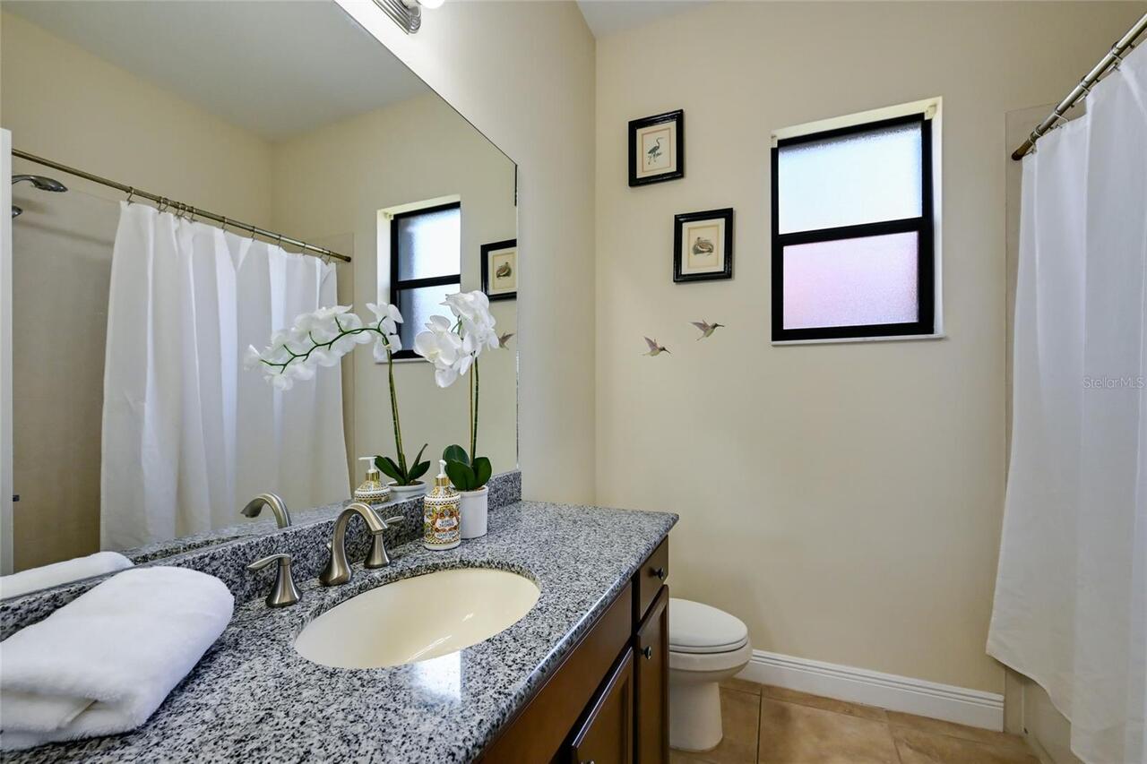
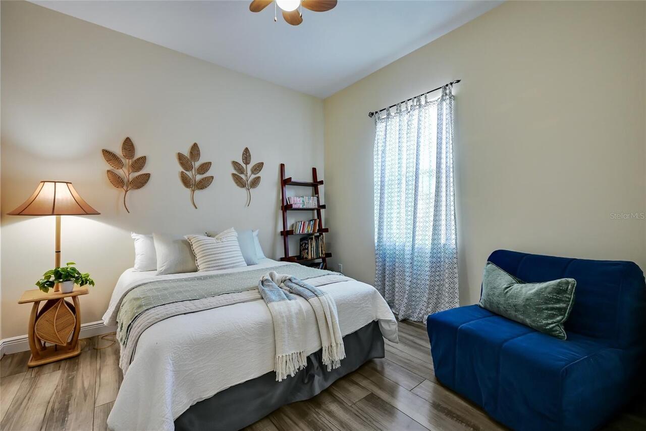
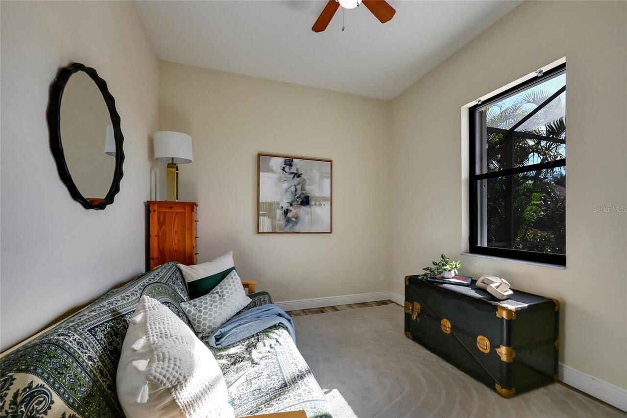
Interior Features
Ceiling Fans(s), High Ceilings, Kitchen/Family Room Combo, Living Room/Dining Room Combo, Open Floorplan, Primary Bedroom Main Floor, Solid Wood Cabinets, Walk-In Closet(s)
Internet Address Display YN
true
Internet Automated Valuation Display YN
true
Internet Consumer Comment YN
true
Internet Entire Listing Display YN
true
List AOR
Sarasota - Manatee
Living Area Source
Builder
Living Area Units
Square Feet
Lot Size Square Feet
11500
Lot Size Square Meters
1068
Middle Or Junior School
Carlos E. Haile Middle
Modification Timestamp
2026-06-17T17:47:14.740Z
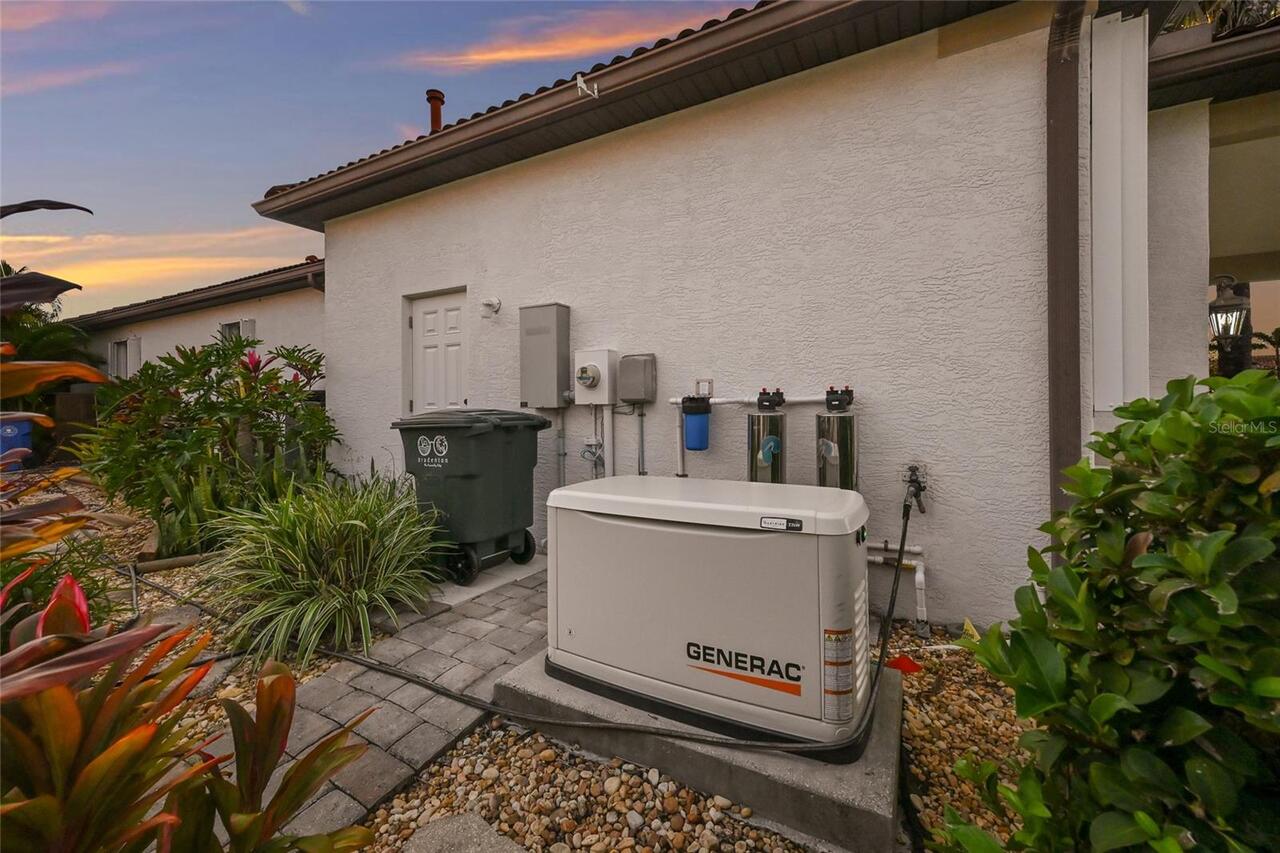
Other Equipment
Irrigation Equipment, Generator
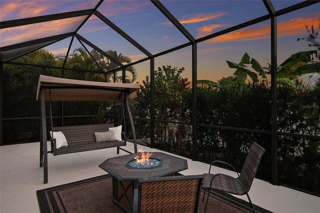
Patio And Porch Features
Covered, Screened
Previous List Price
1250000
Price Change Timestamp
2026-02-11T17:10:59.000Z
RATIO Current Price By Calculated SqFt
478.42
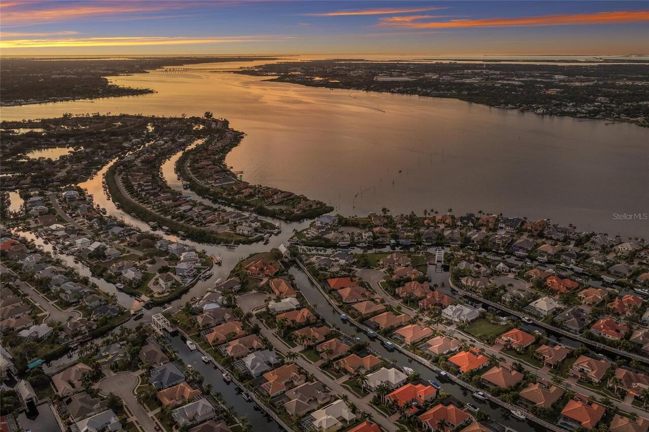
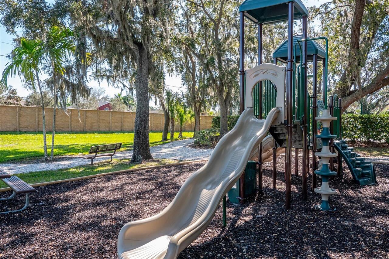
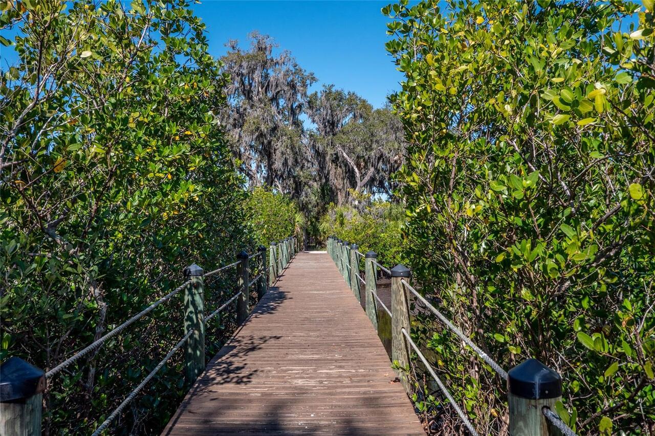
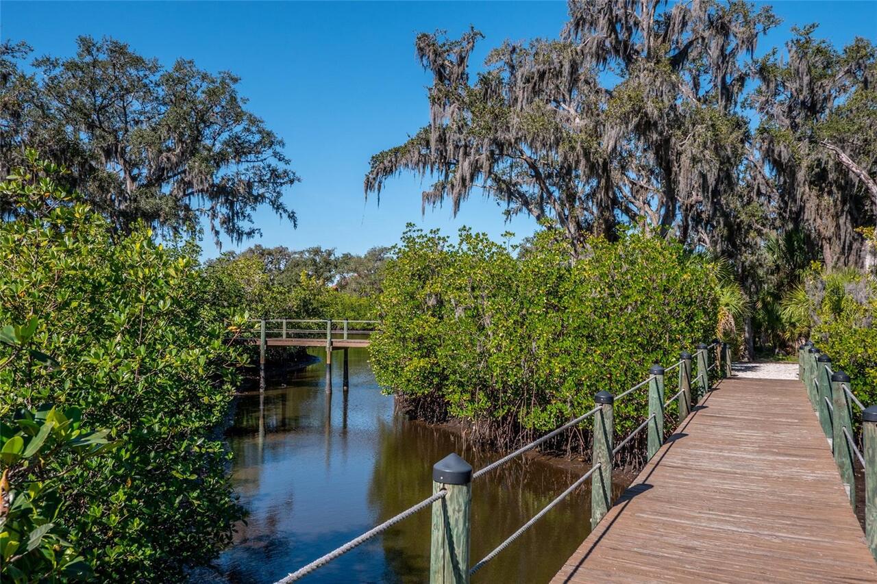
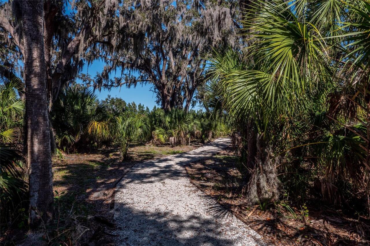
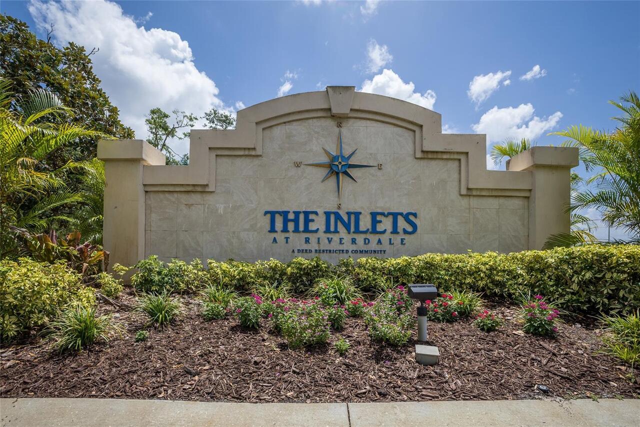
SW Subdiv Community Name
Harbour Walk
Showing Requirements
Appointment Only, Contact Call Center, ShowingTime
Spa Features
Heated, In Ground
Status Change Timestamp
2026-01-19T20:44:08.000Z
Tax Legal Description
PARCEL 492 HARBOUR WALK: A PARCEL OF LAND BEING A PART OF LOTS 508 & 509 OF RIVERDALE REVISED SUB (PB 10 PG 40 PRMCF) AND A PORTION OF THAT CERTAIN PARCEL OF LAND REFERRED TO IN ADMINISTRATIVE DETERMINATION 94-98 & DESC IN VACATION OF CANAL (R-94-33V ) REC IN OR 1428 PGS 86-89 PRMCF, SD PARCEL LYING & BEING IN SEC 21, TWN 34S, RNG 18E & BEING MORE
Total Acreage
1/4 to less than 1/2
Universal Property Id
US-12081-N-1077404709-R-N
Unparsed Address
525 MAST DR
Utilities
Cable Connected, Electricity Connected, Fiber Optics, Public, Sewer Connected
Water Access
Canal - Freshwater
Water Extras
Seawall - Concrete