Property Features
Property Sub Type
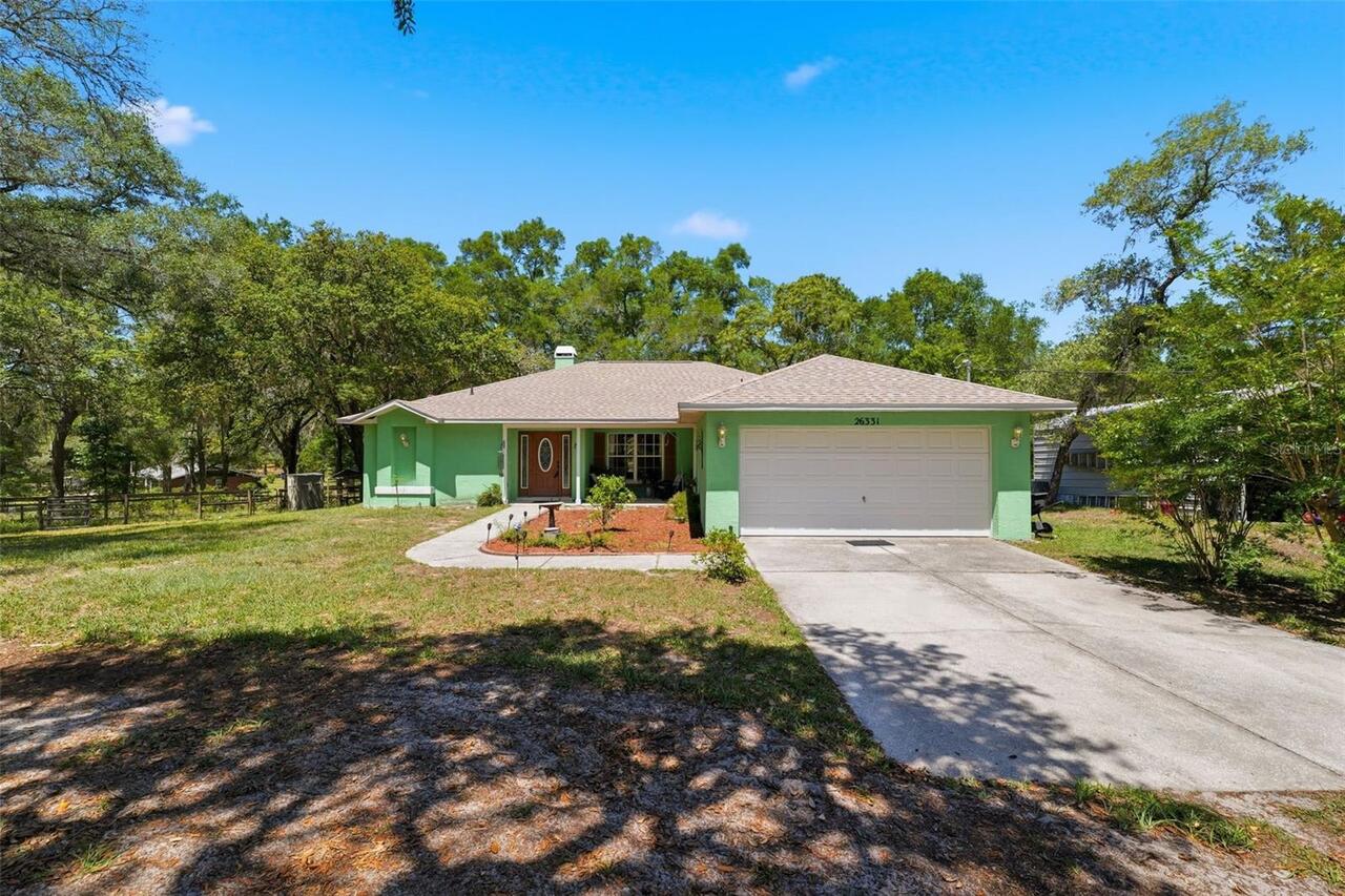
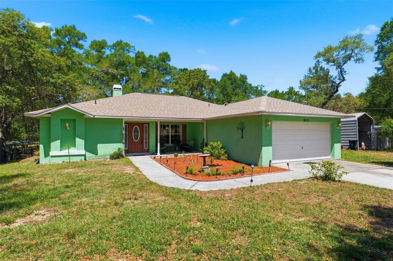
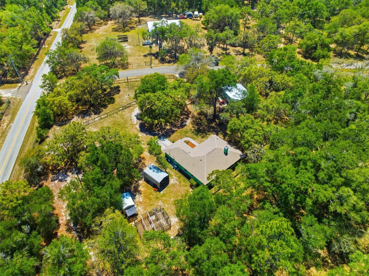
Single Family Residence
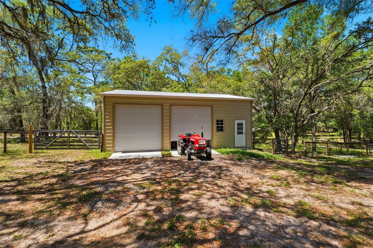
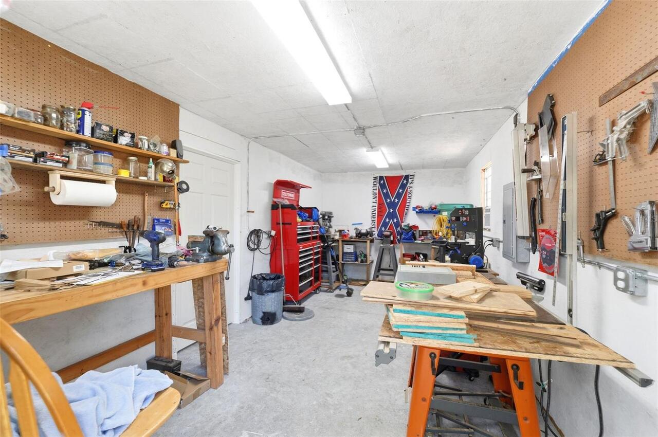
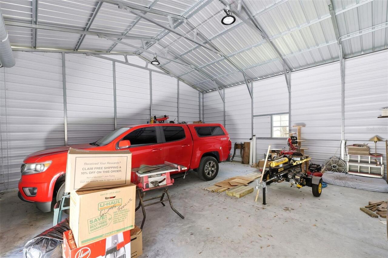
Parking
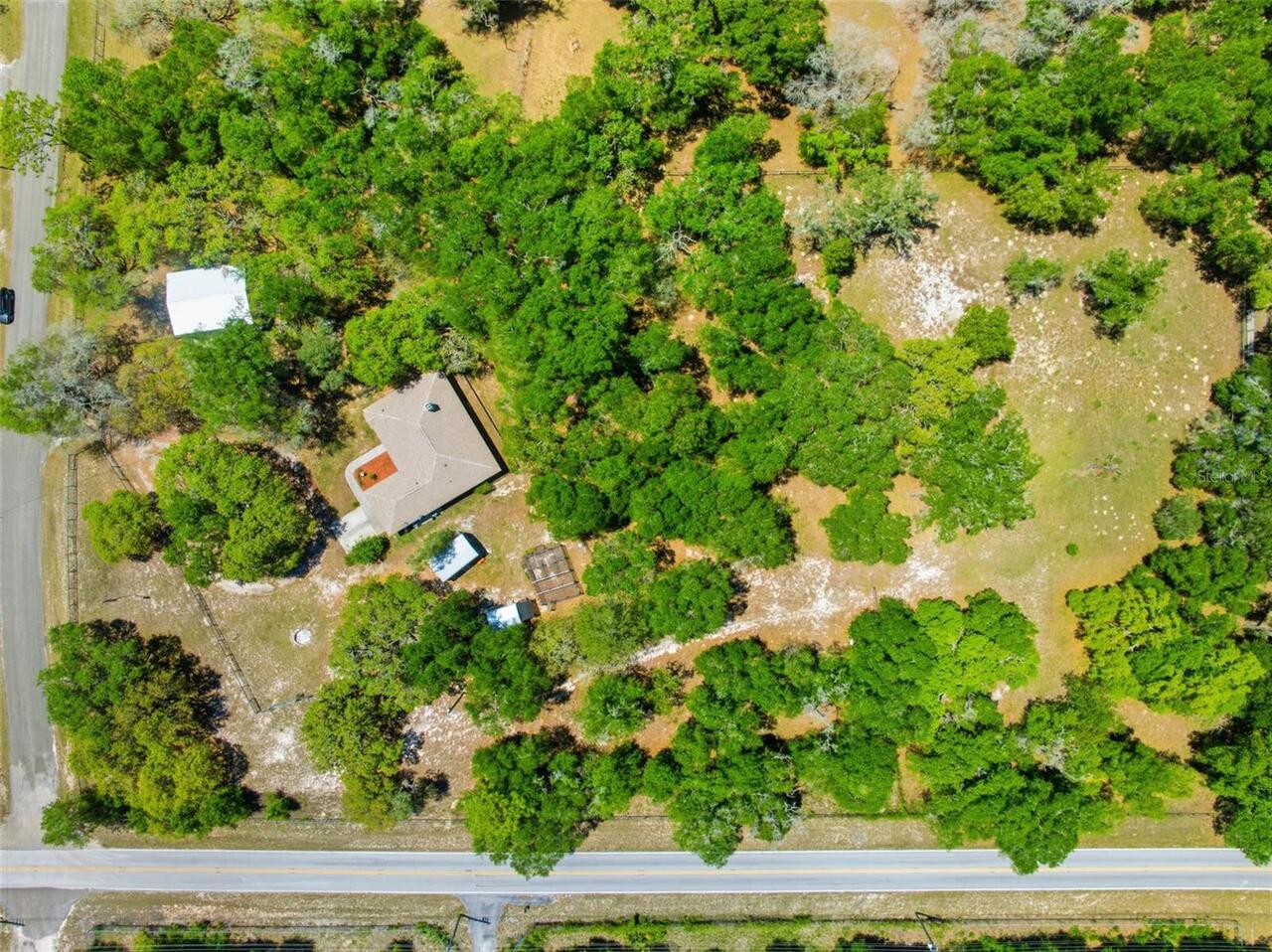
Driveway, Workshop in Garage
Additional Information
Additional Lease Restrictions
Please verify with Hernando County any leasing restrictions
Additional Parcels YN
false
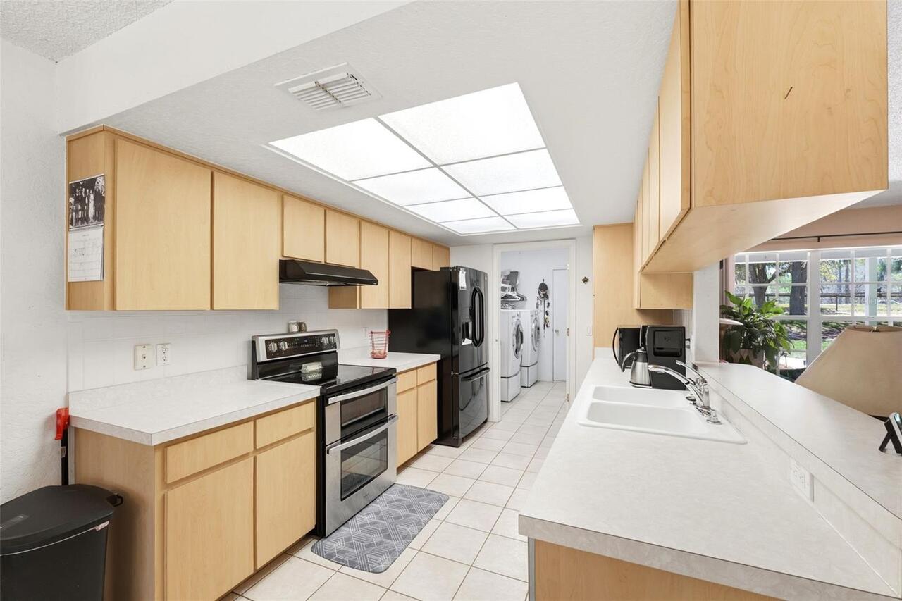
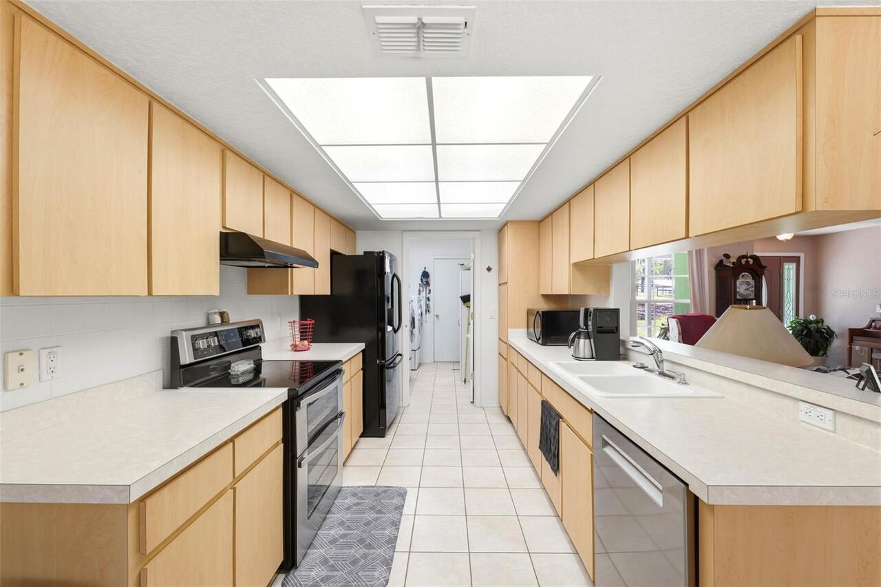
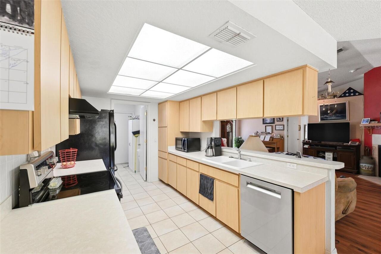
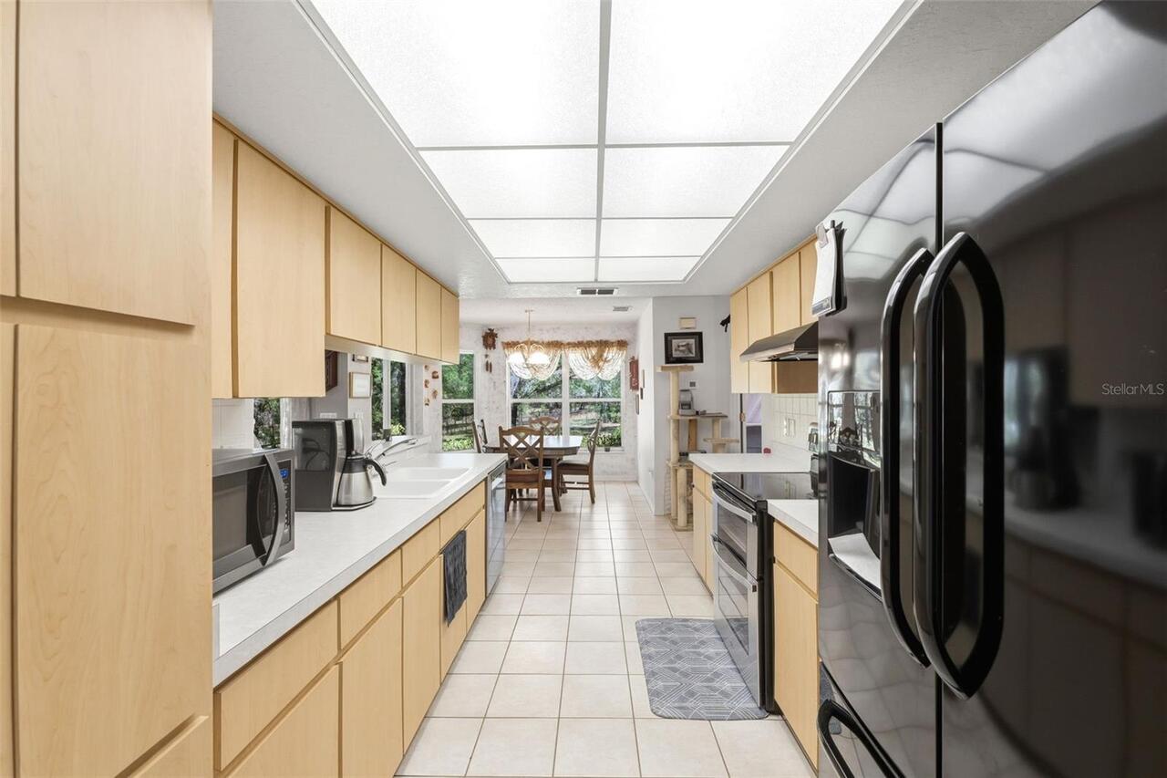
Appliances
Dishwasher, Disposal, Electric Water Heater, Range Hood, Refrigerator, Water Filtration System
Building Area Source
Public Records
Building Area Total Srch SqM
212.19
Building Area Units
Square Feet
Calculated List Price By Calculated SqFt
280.68
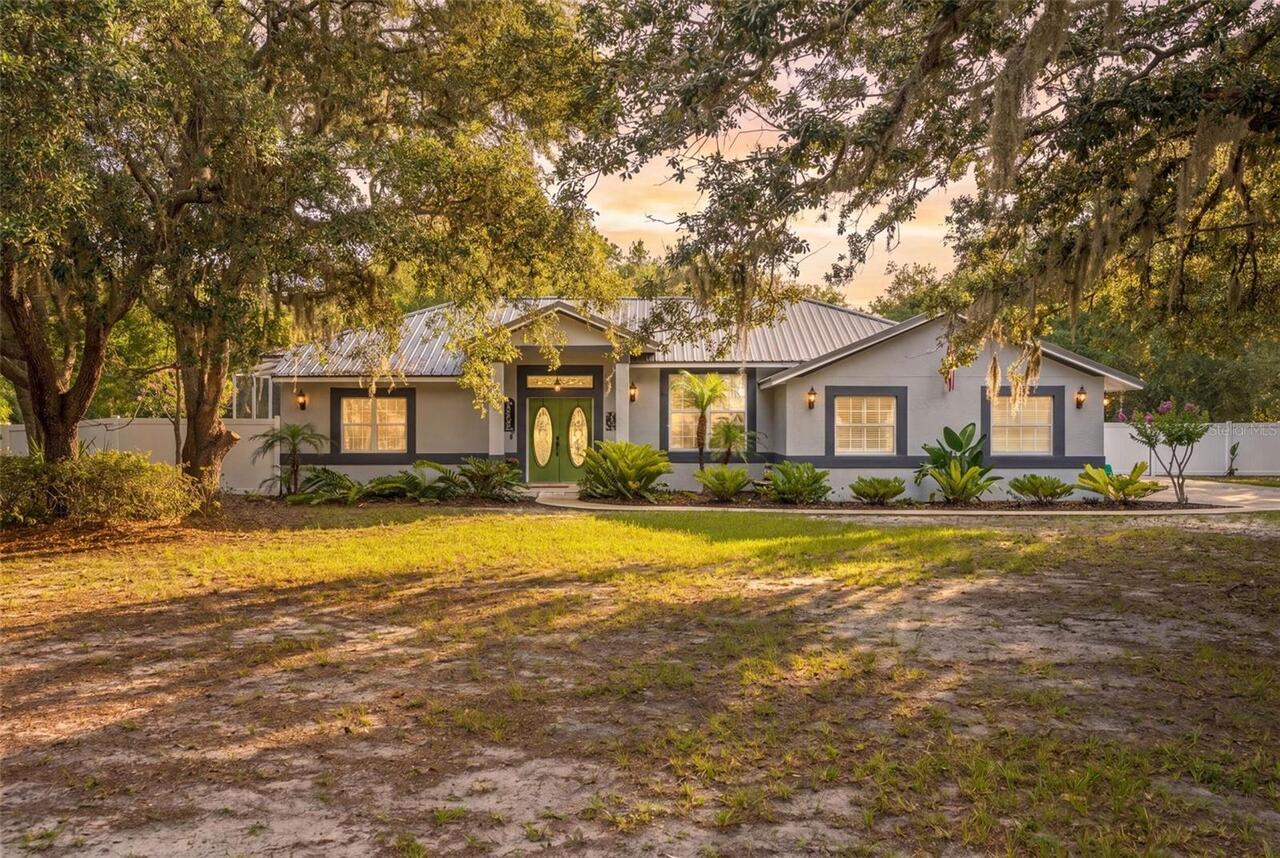
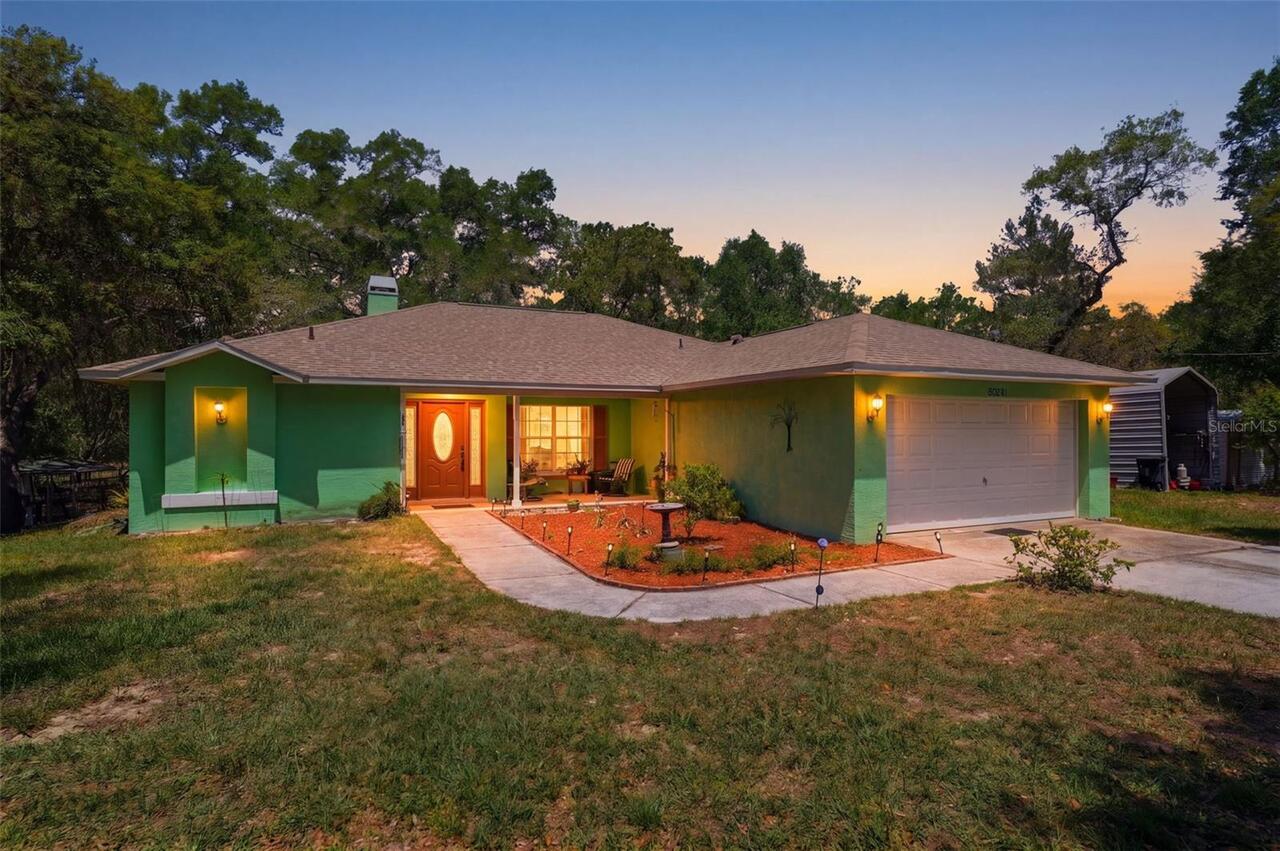
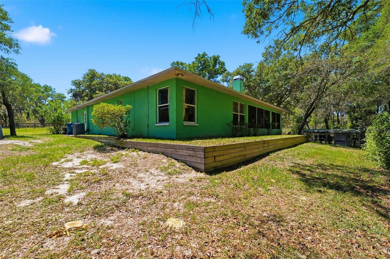
Construction Materials
Stucco
Contract Status
Financing, Inspections
Cumulative Days On Market
15
Elementary School
Brooksville Elementary
Expected Closing Date
2026-06-26T00:00:00.000
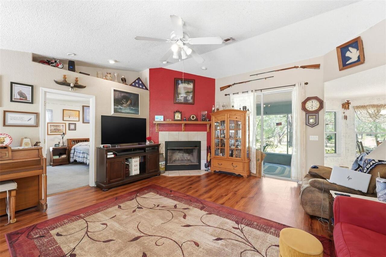
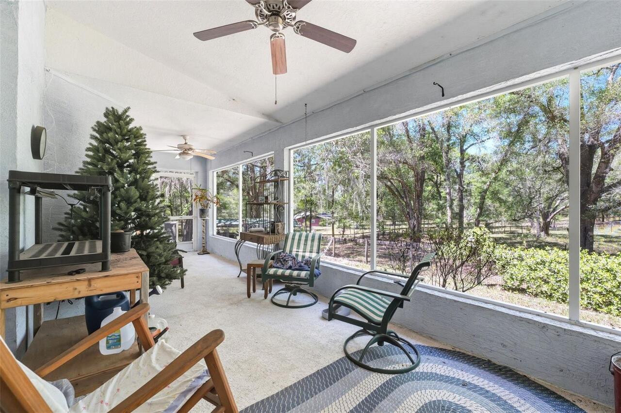
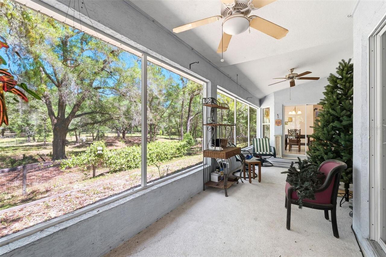
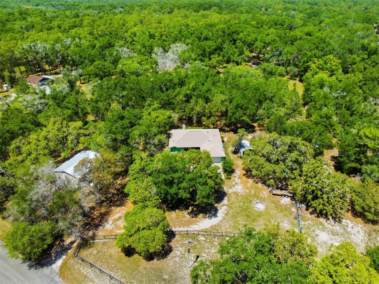
Exterior Features
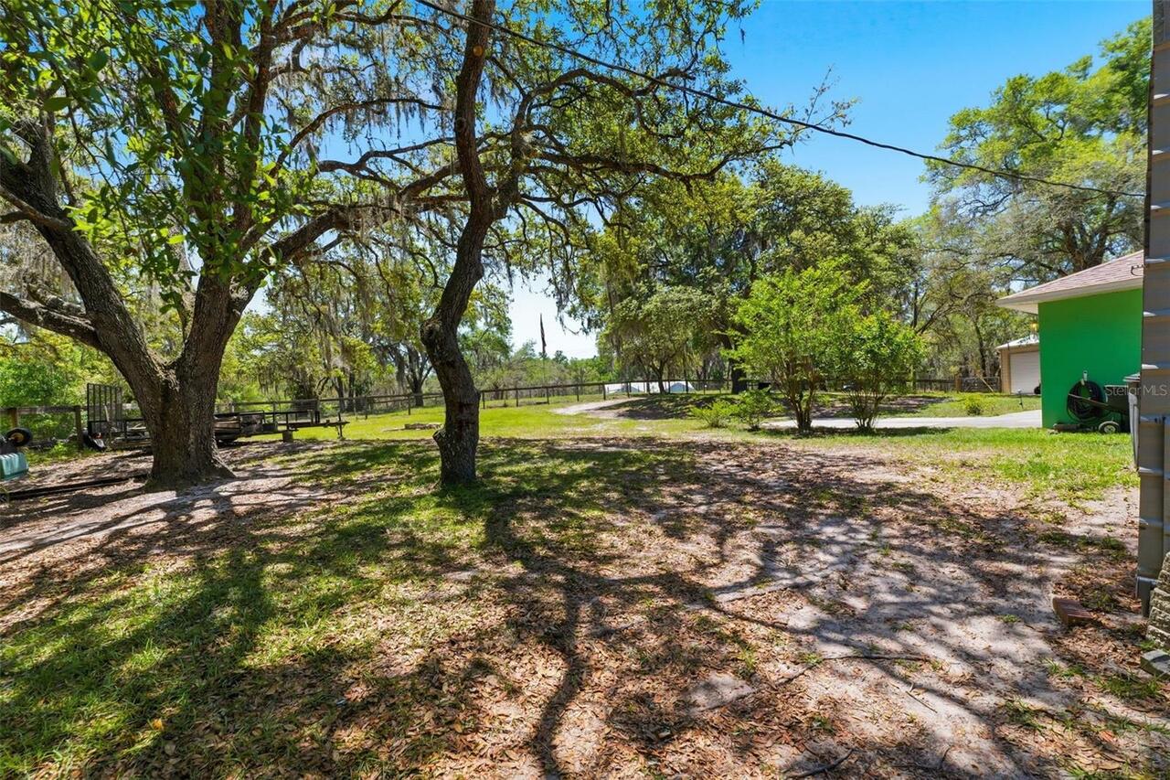
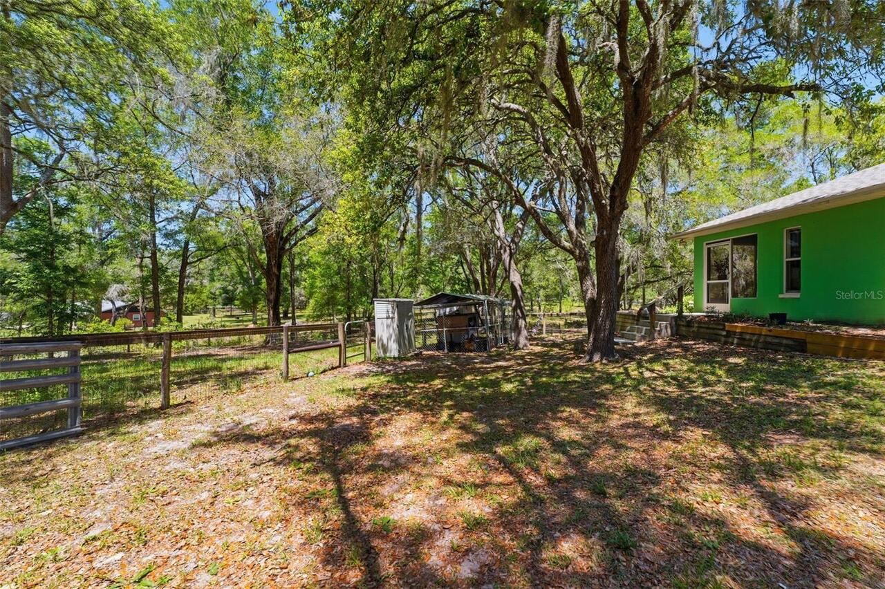
Garden, Private Yard, Storage
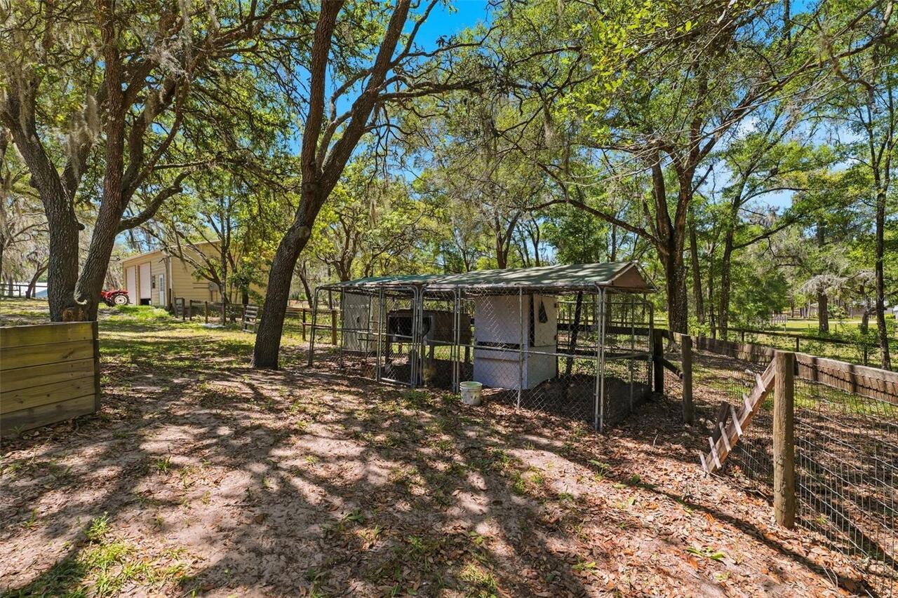
Fencing
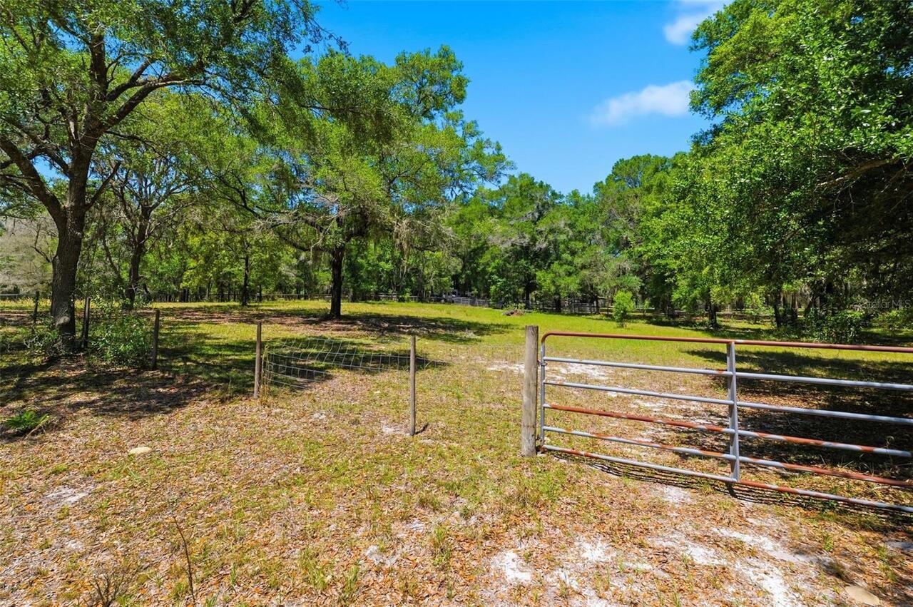
Board, Cross Fenced, Other
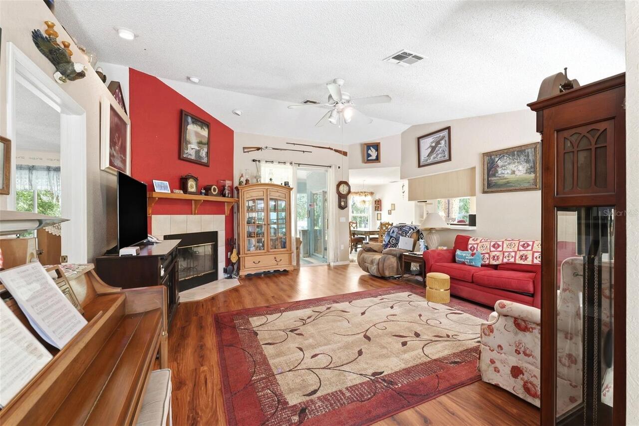
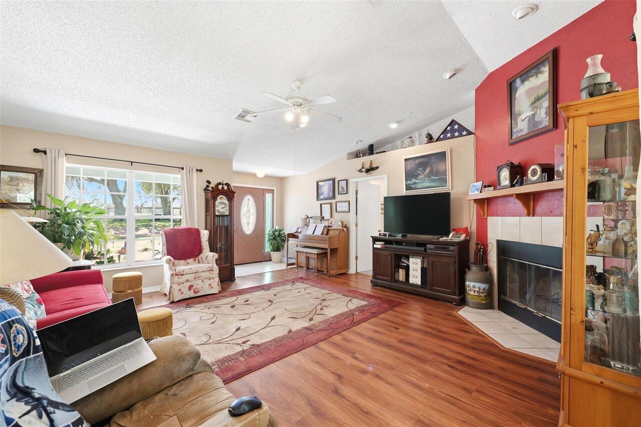
Fireplace Features
Wood Burning
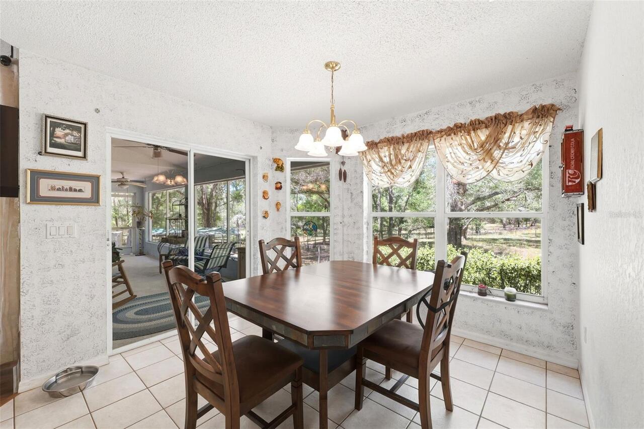
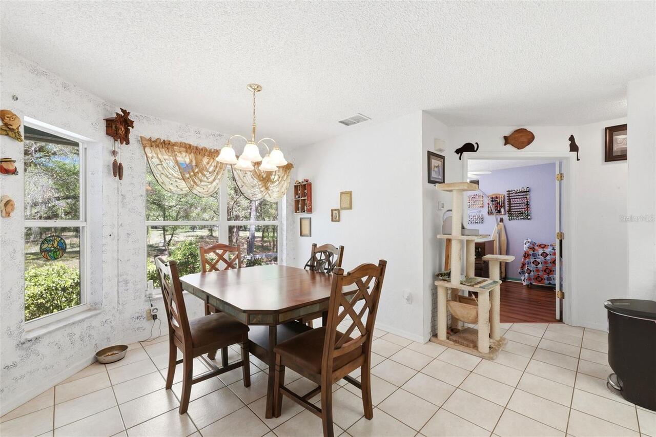
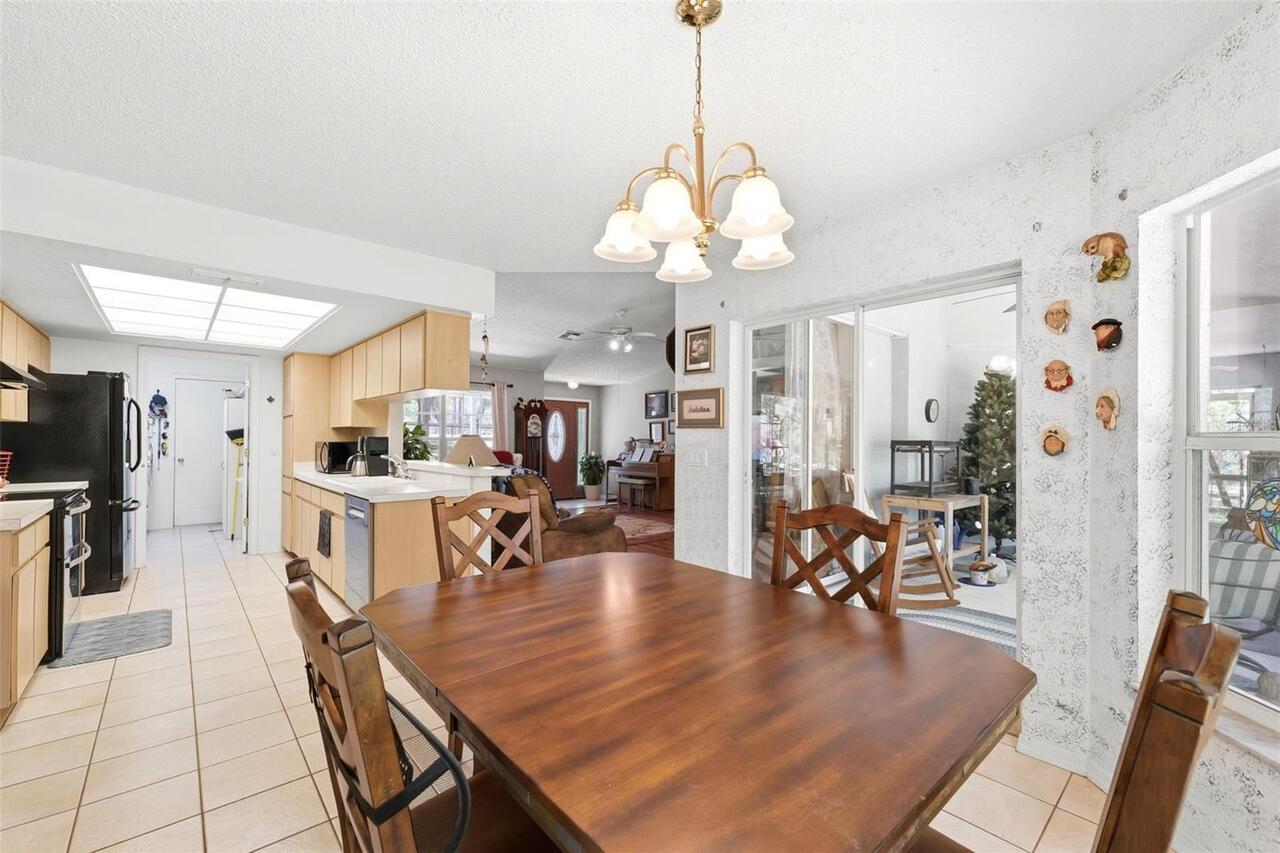
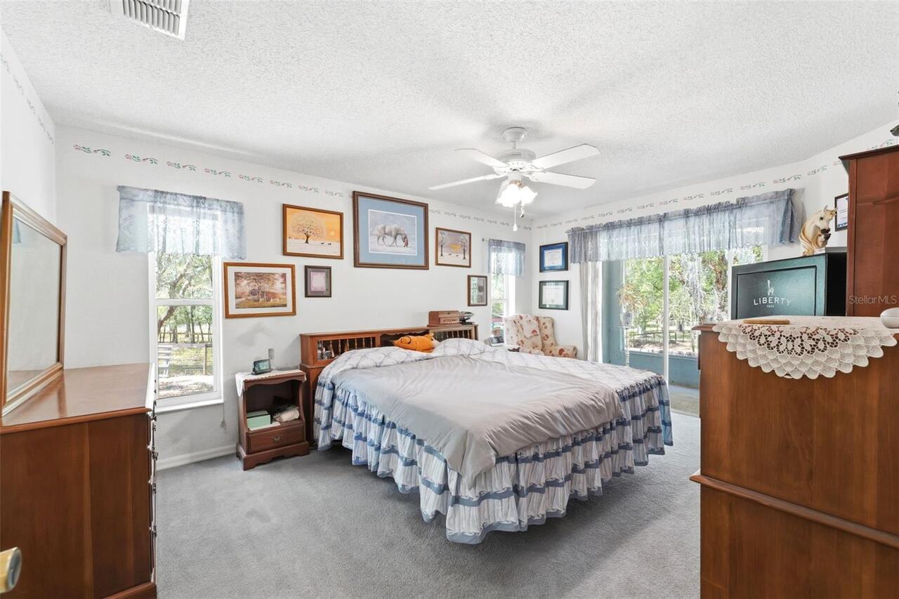
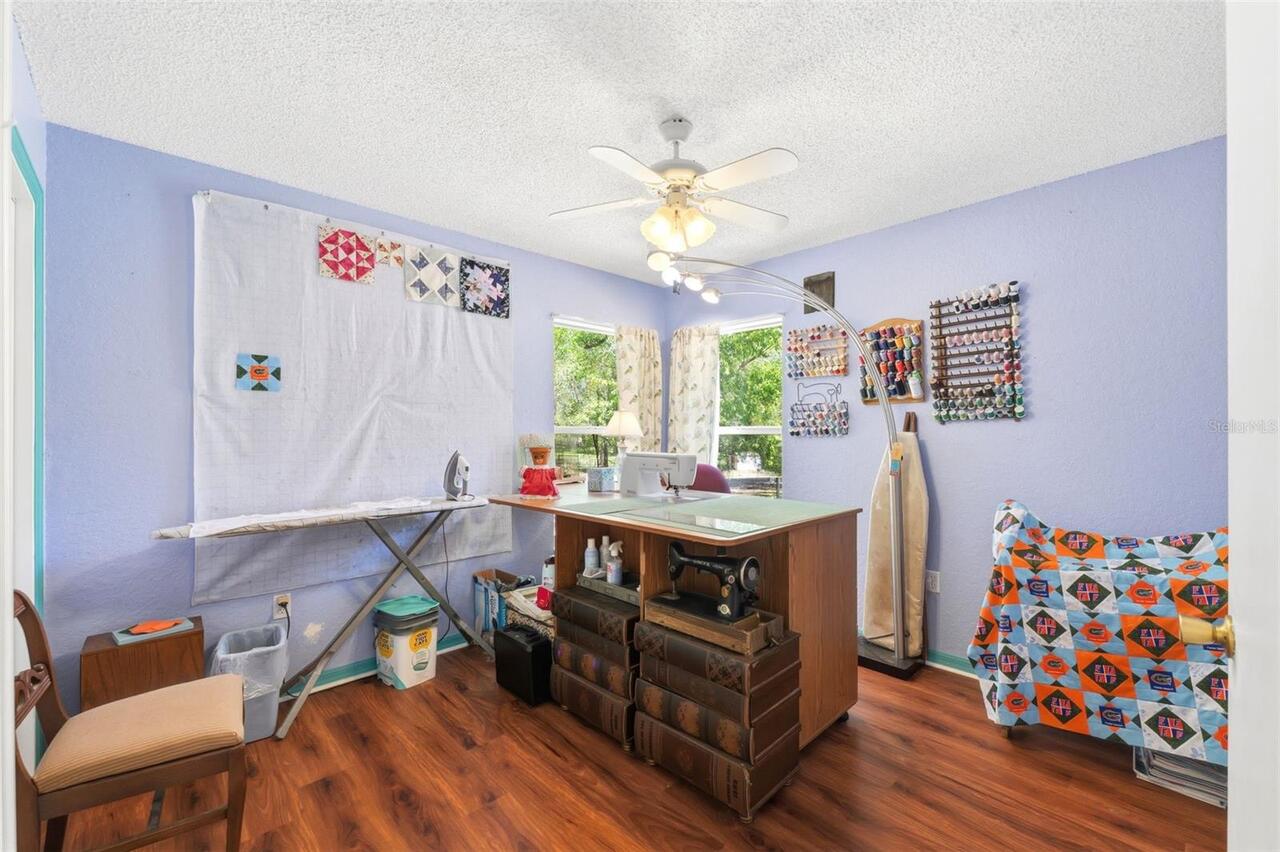
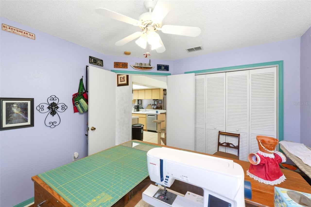
Flooring
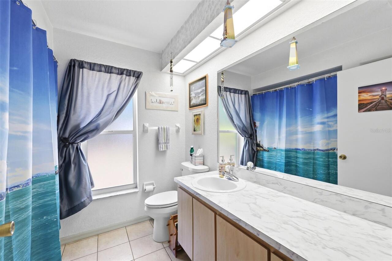
Carpet, Laminate, Tile
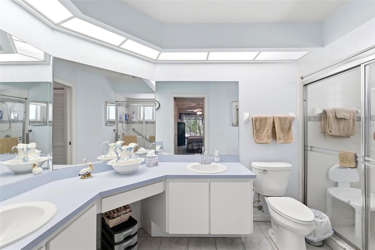
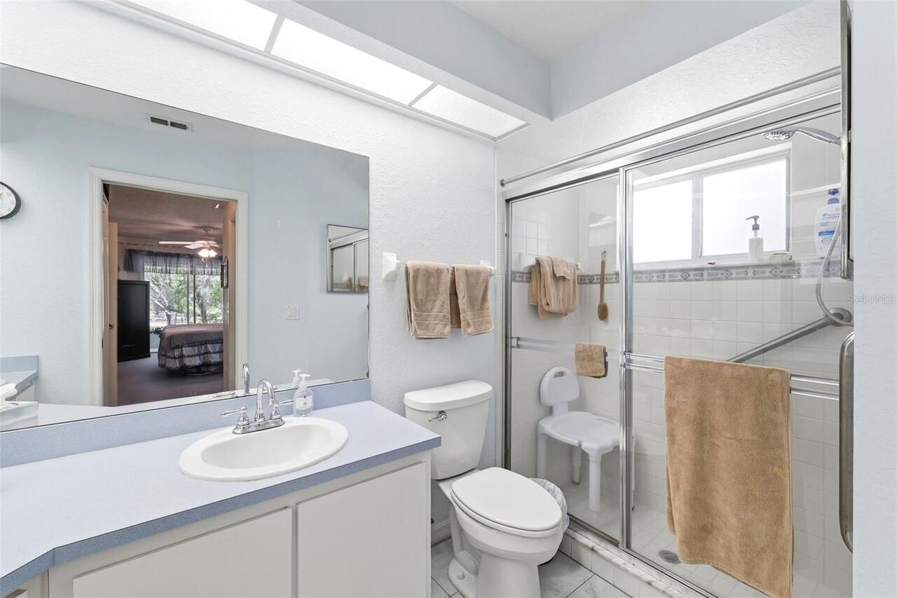
Interior Features
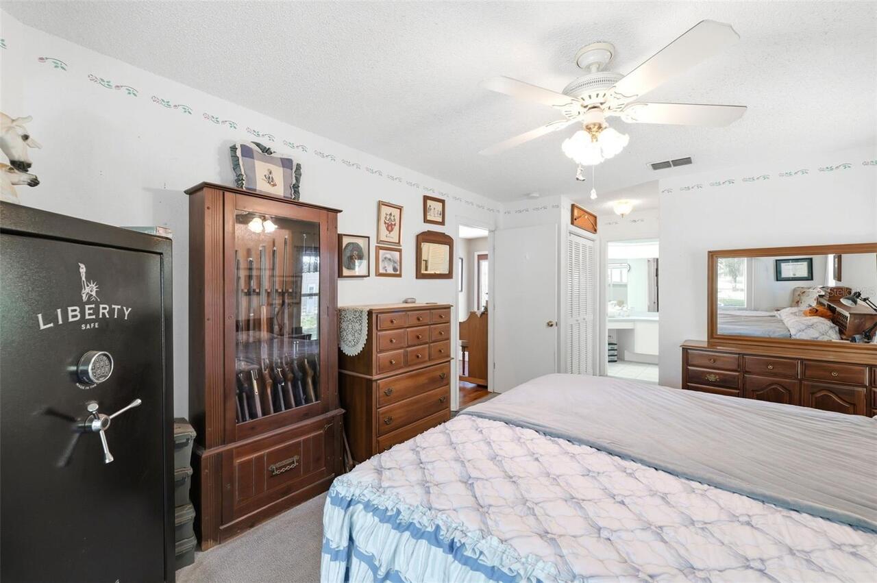
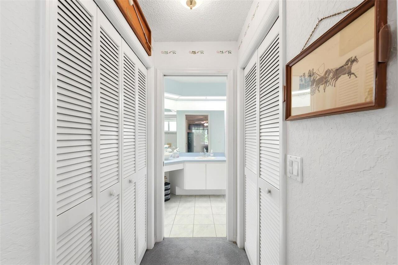
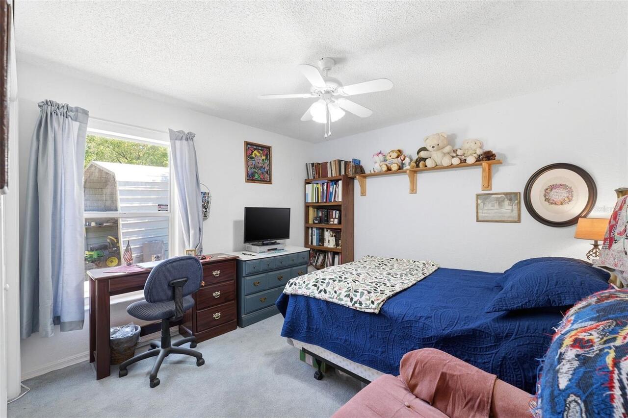
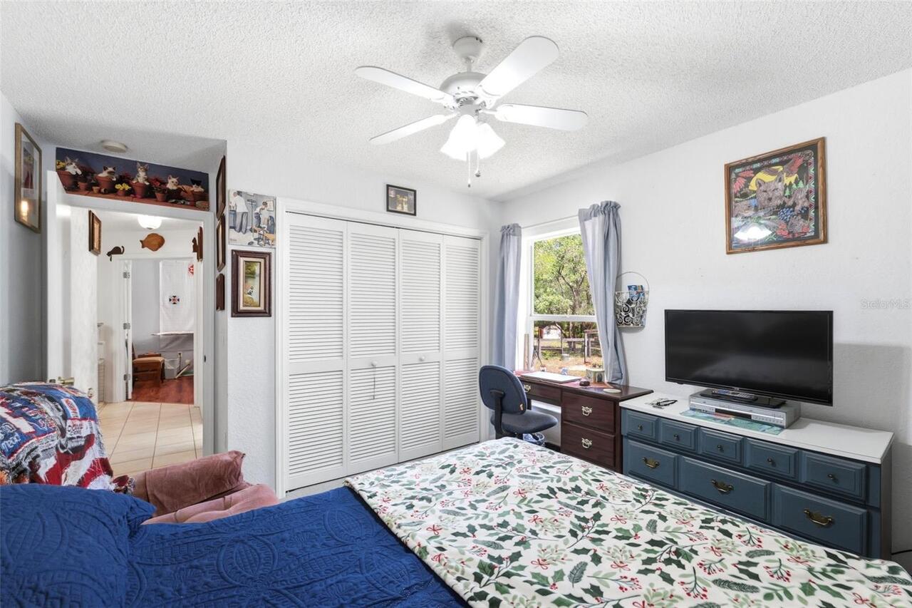
Ceiling Fans(s), Open Floorplan, Split Bedroom, Vaulted Ceiling(s), Walk-In Closet(s)
Internet Address Display YN
true
Internet Automated Valuation Display YN
true
Internet Consumer Comment YN
true
Internet Entire Listing Display YN
true
List AOR
Sarasota - Manatee
Living Area Source
Public Records
Living Area Units
Square Feet
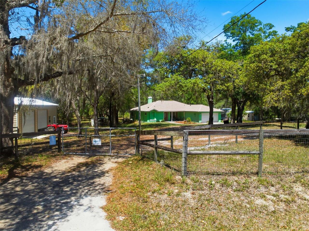
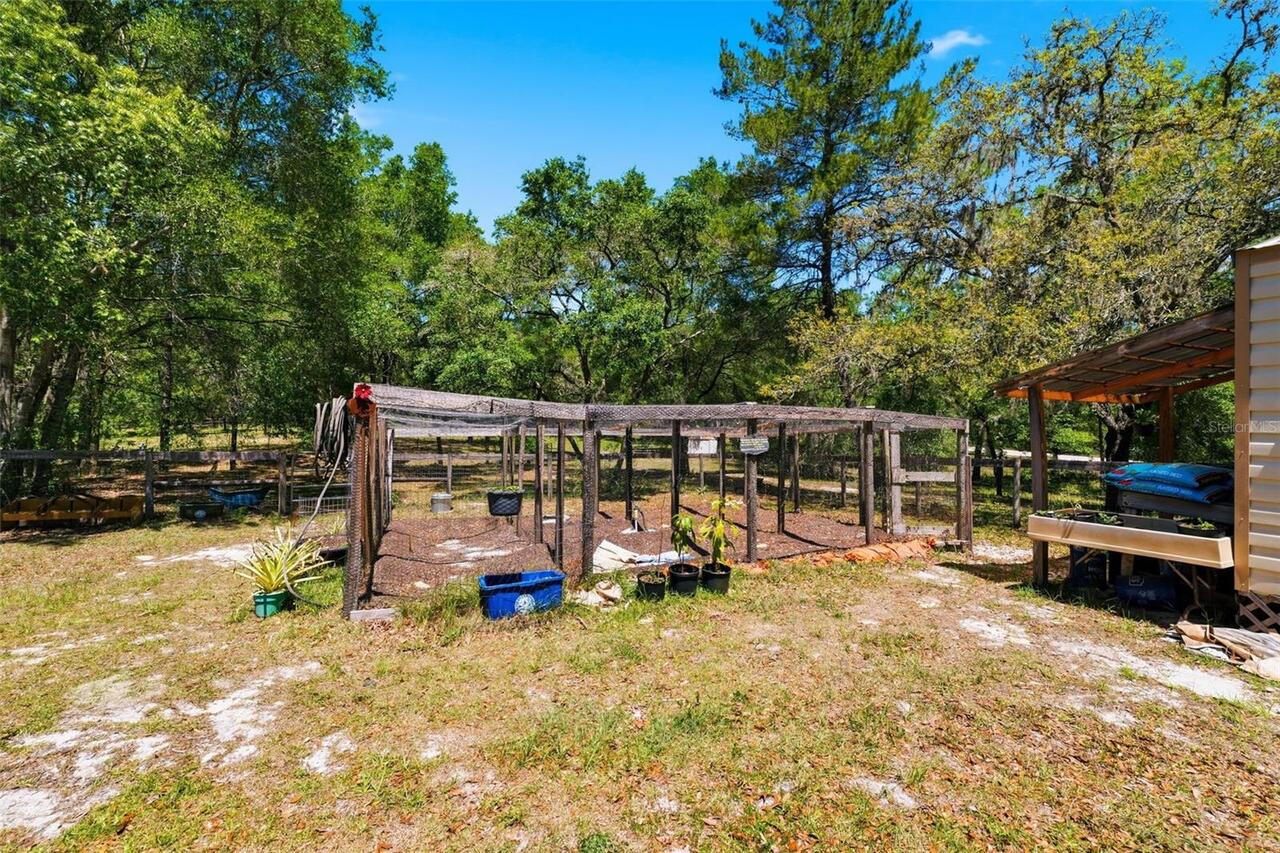
Lot Features
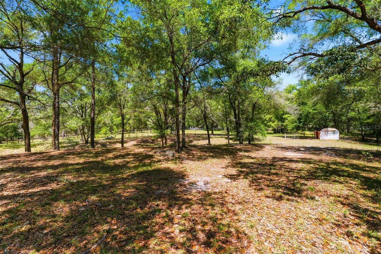
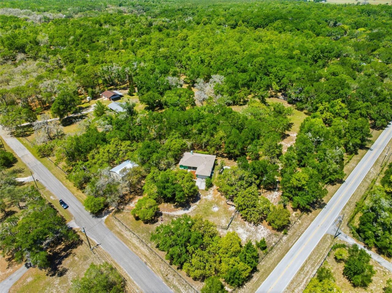
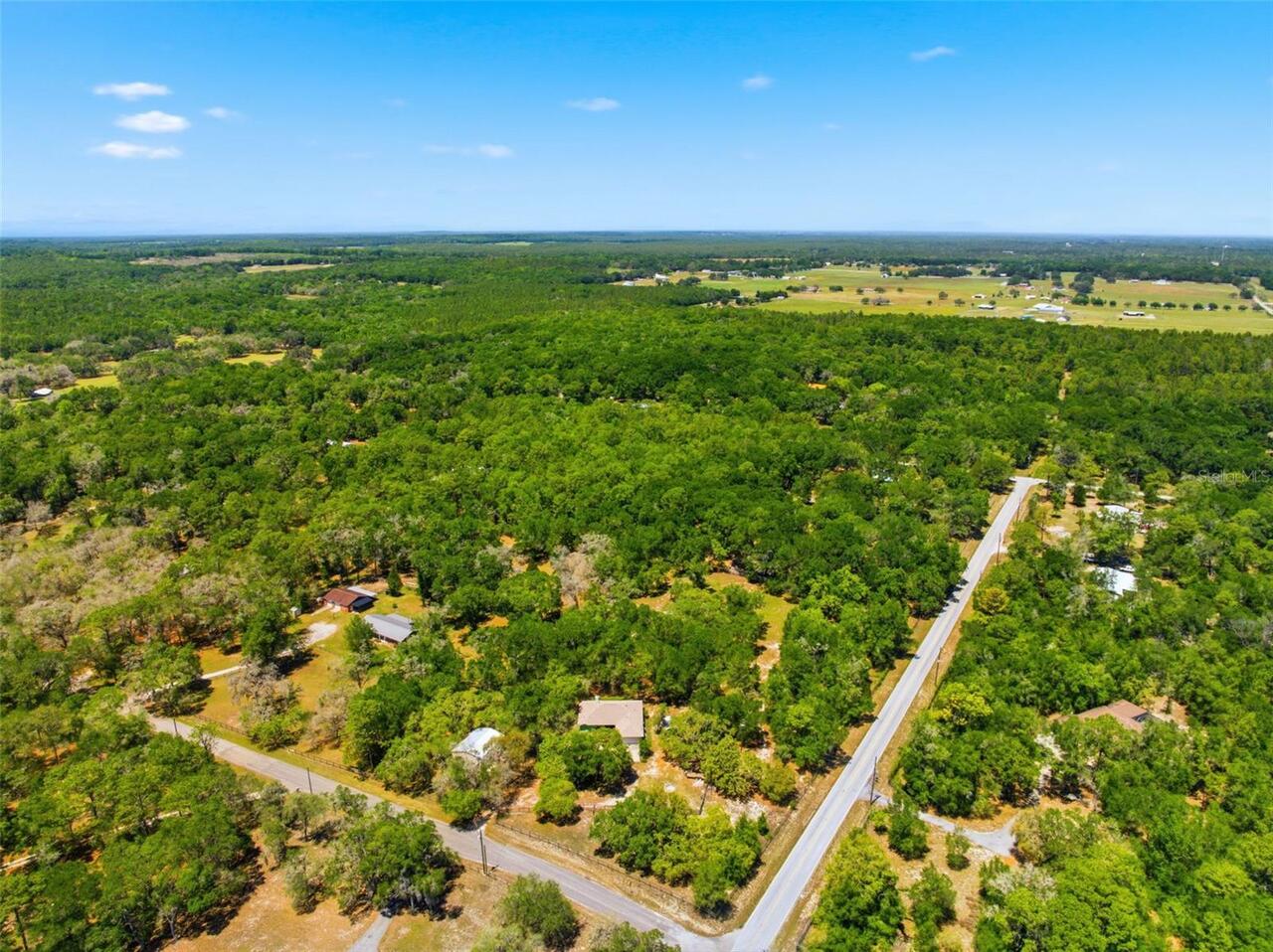
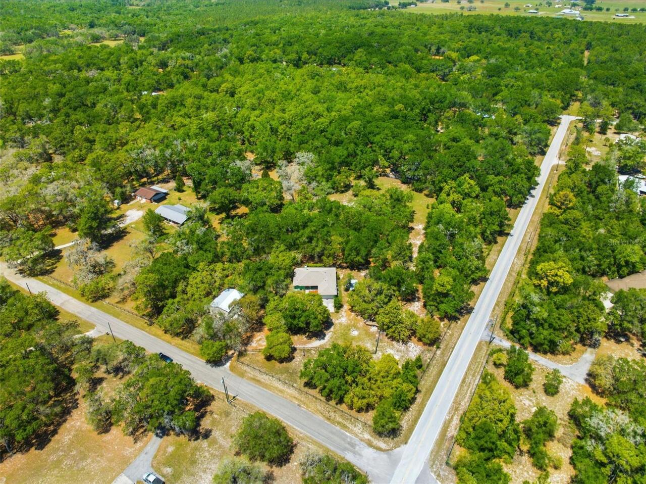
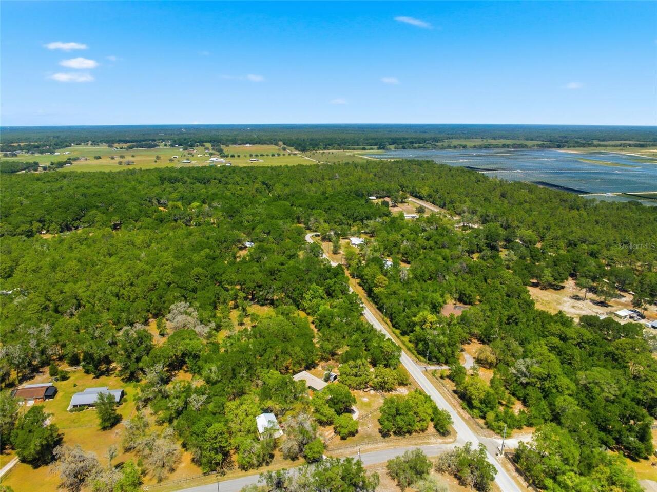
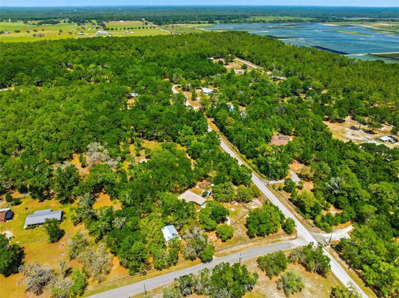
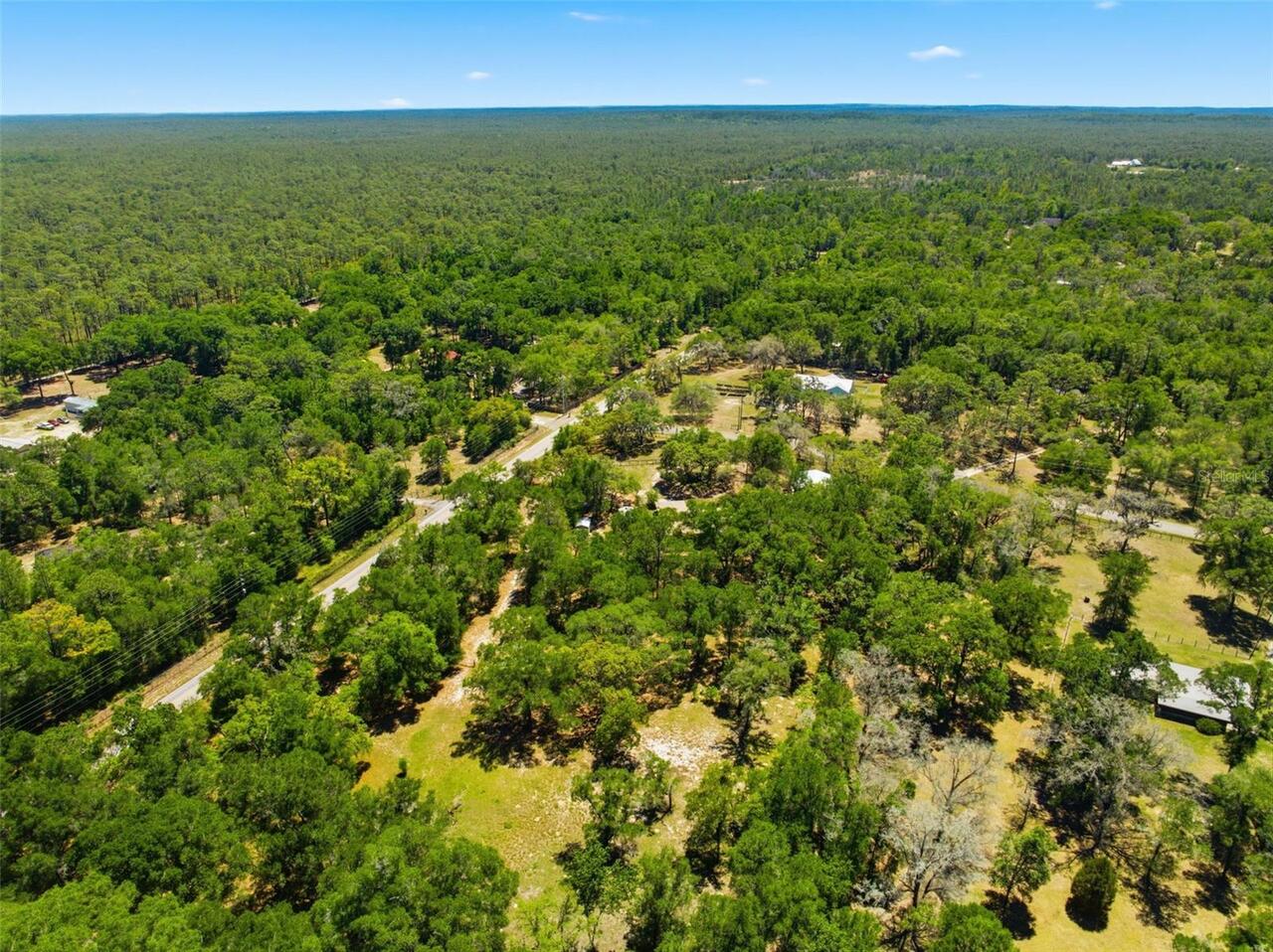
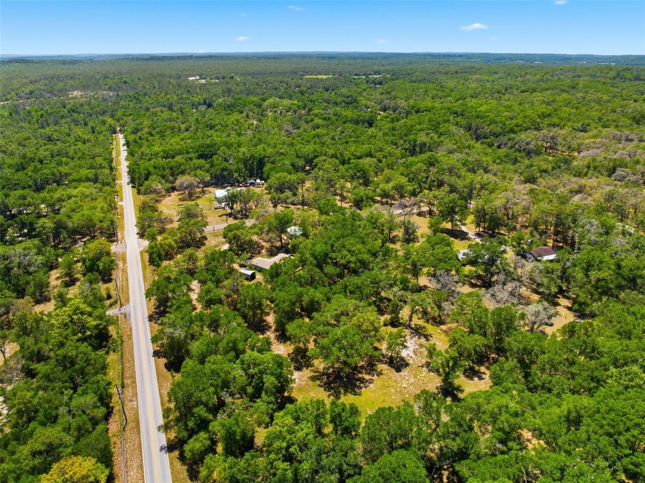
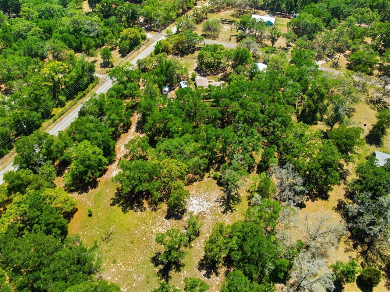
Corner Lot, Farm, In County, Pasture, Sloped, Paved, Zoned for Horses
Lot Size Square Feet
165528
Lot Size Square Meters
15378
Middle Or Junior School
D.S. Parrot Middle
Modification Timestamp
2026-05-04T17:42:12.659Z
Other Equipment
Private Yard
Other Structures
Shed(s), Workshop
Parcel Number
R28 121 20 0375 0000 1940
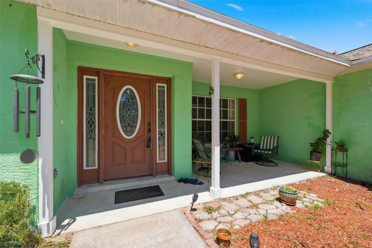
Patio And Porch Features
Covered, Front Porch, Rear Porch, Screened
Pet Restrictions
Please verify with Hernando County any pet restrictions
Purchase Contract Date
2026-05-02
RATIO Current Price By Calculated SqFt
280.68
Road Responsibility
Public Maintained Road
Showing Requirements
Supra Lock Box
Status Change Timestamp
2026-05-04T17:41:03.000Z
Tax Block
R28-121-20-0375-0000-1940
Tax Legal Description
TRACT 194 of Forest Hills legally described as follows: Commencing at the NW corner of the NE ½ of Section 33, Township 21 South, Range 20 East, Hernando County, Florida, go thence S 89 degrees 28' 23" East, along the North line of said NE 4, a distance of 1669.02 feet to the POINT OF BEGINNING: continue thence S 89 degrees 28' 23” E, a distance of 333.81 feet, thence S 00 degrees 39' 35” W a distance of 568.27 feet; thence N 89 degrees 31' 14" W, a distance of 333.57 feet; thence N 00 degrees 38' 11" E a distance of 568.54 feet to the POINT OF BEGINNING, excepting therefrom the Southerly 25.00 feet thereof to be used for road right of way purposes.
Total Acreage
2 to less than 5
Universal Property Id
US-12053-N-2812120037500001940-R-N
Unparsed Address
26331 BLACKJACK ST
Utilities
Cable Available, Phone Available