Additional Information
Additional Parcels YN
false
Alternate Key Folio Num
47772-000-05
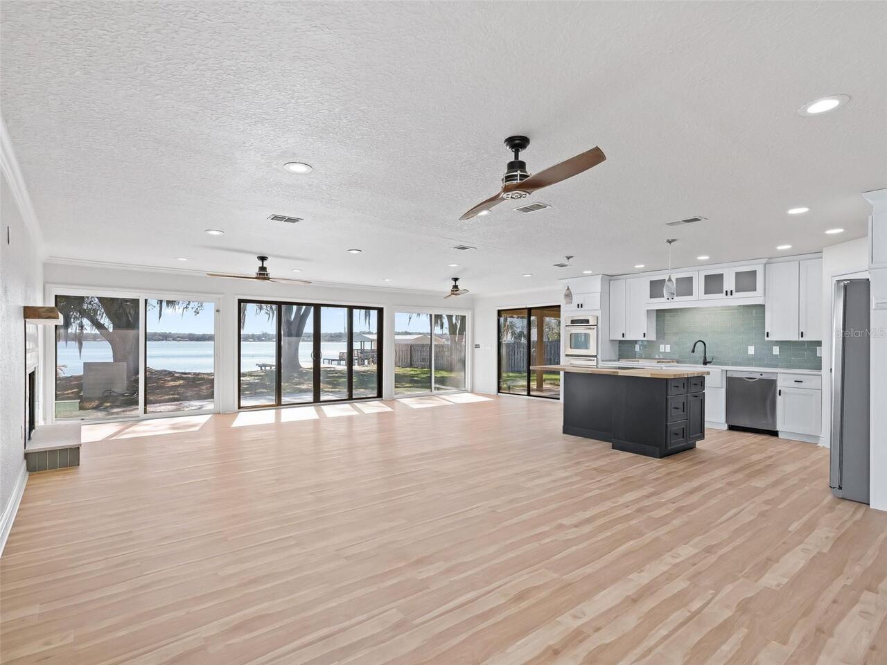
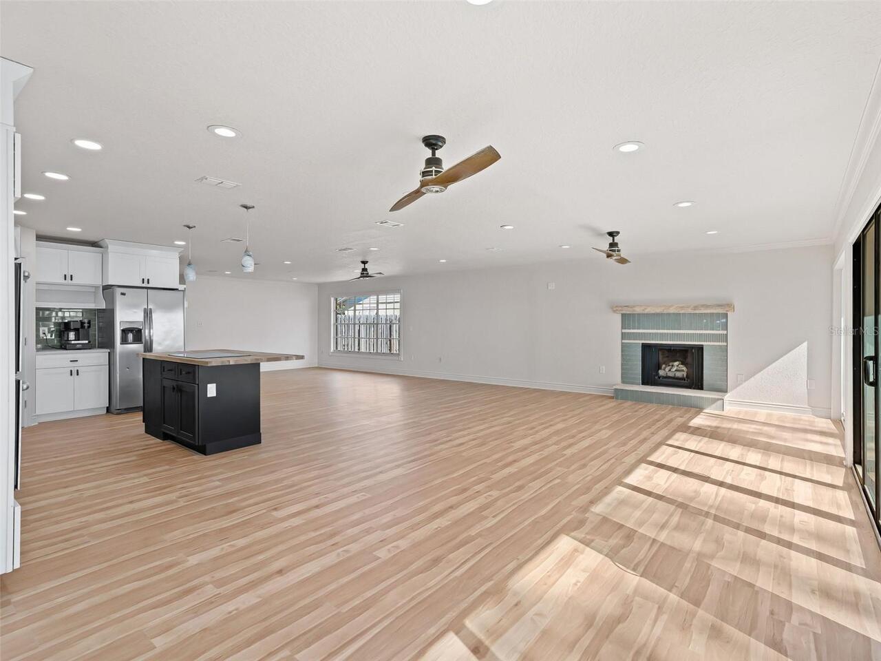
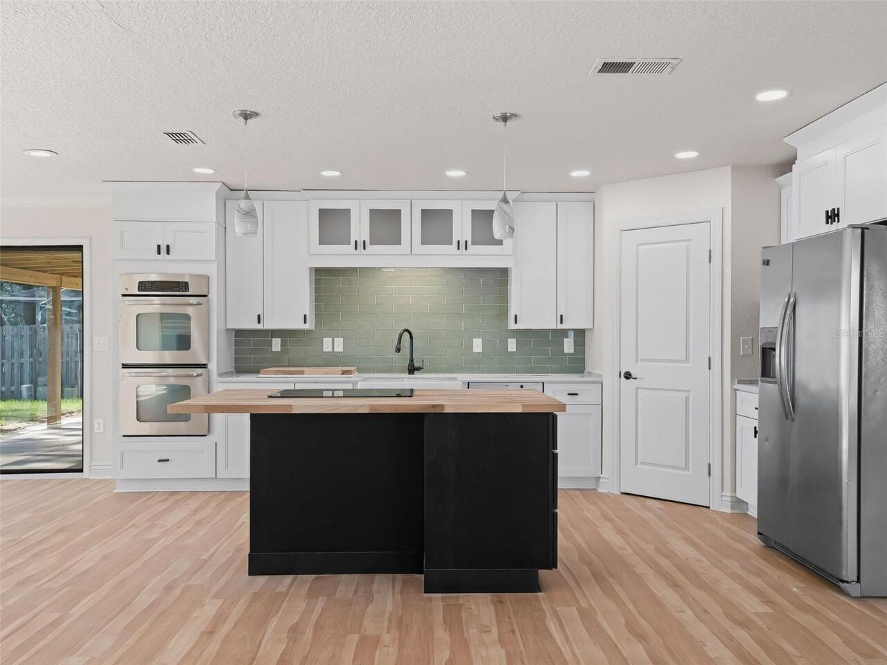
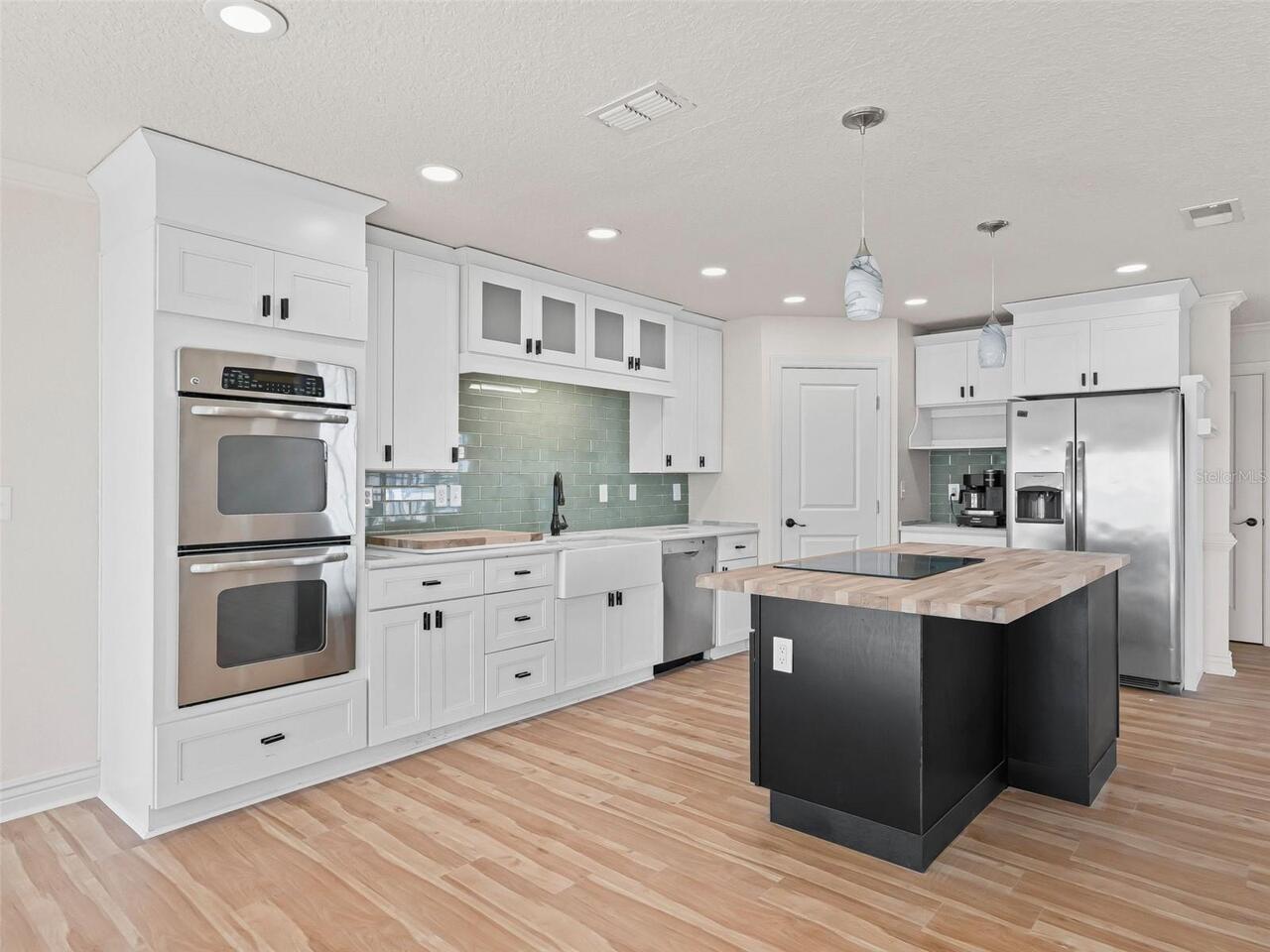
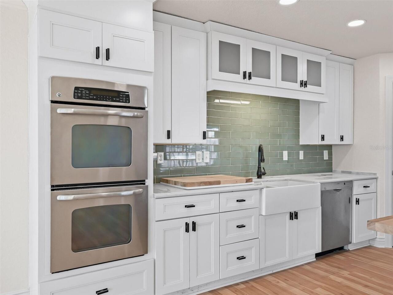
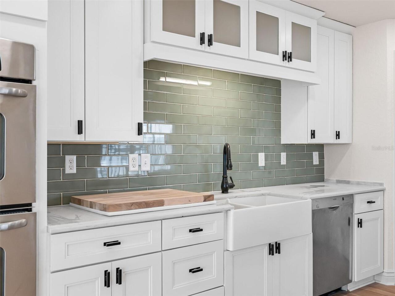
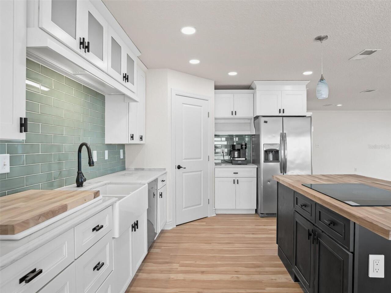
Appliances
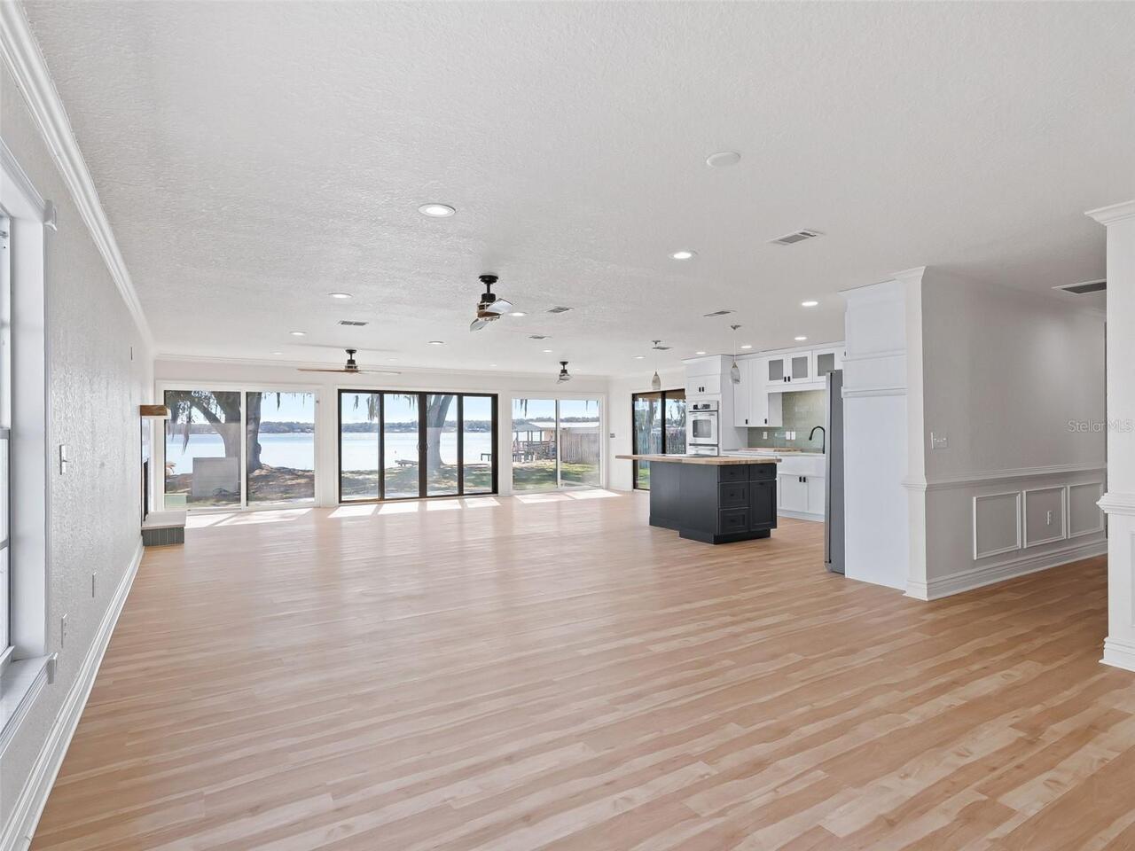
Built-In Oven, Cooktop, Dishwasher, Disposal, Electric Water Heater, Freezer, Range Hood, Refrigerator
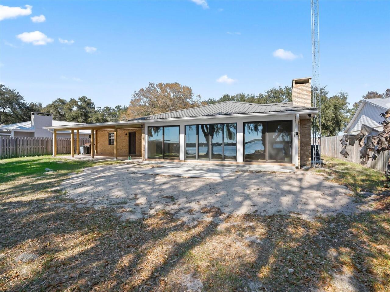
Architectural Style
Custom
Building Area Source
Public Records
Building Area Total Srch SqM
298.22
Building Area Units
Square Feet
Calculated List Price By Calculated SqFt
456.79
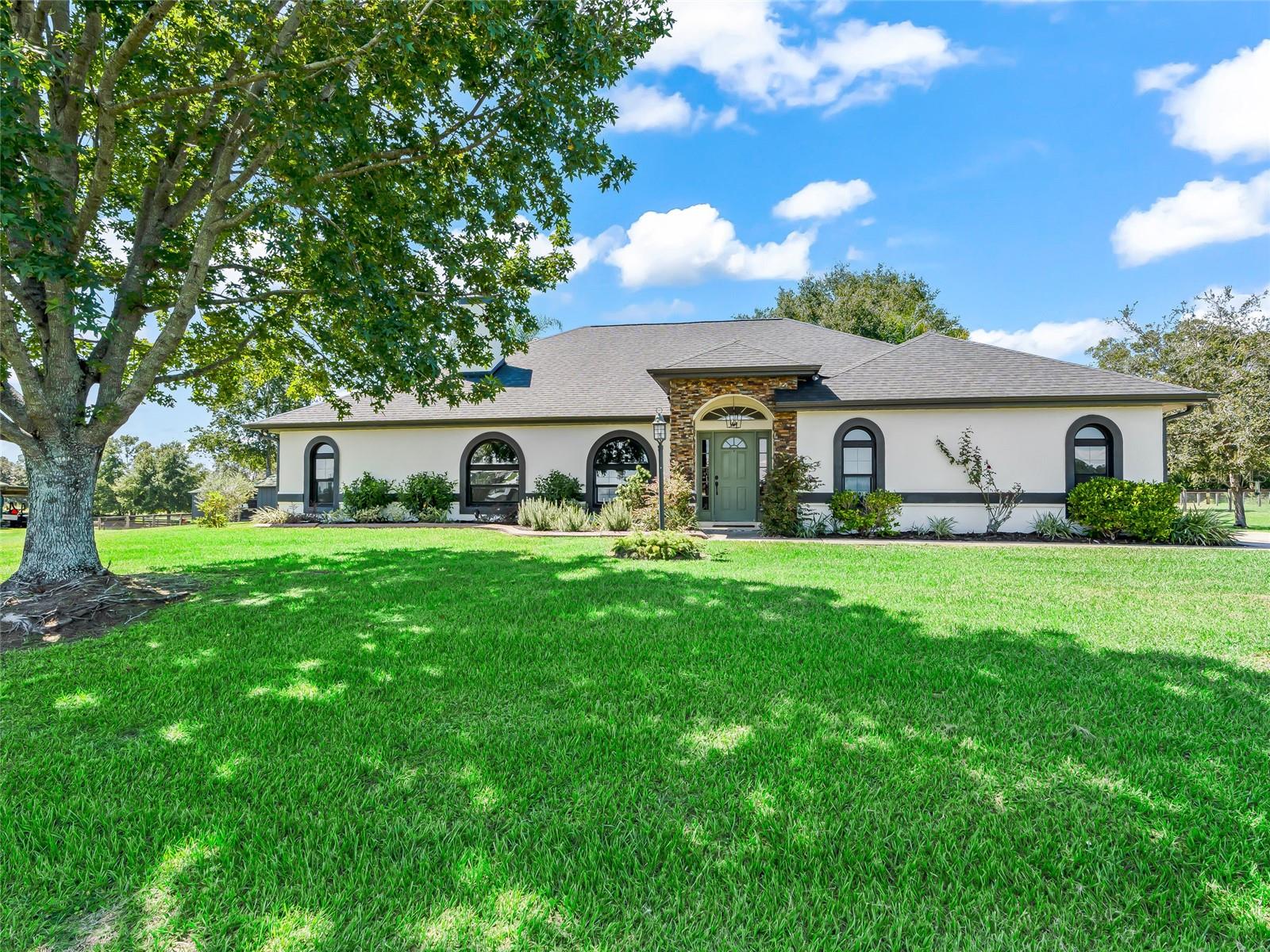
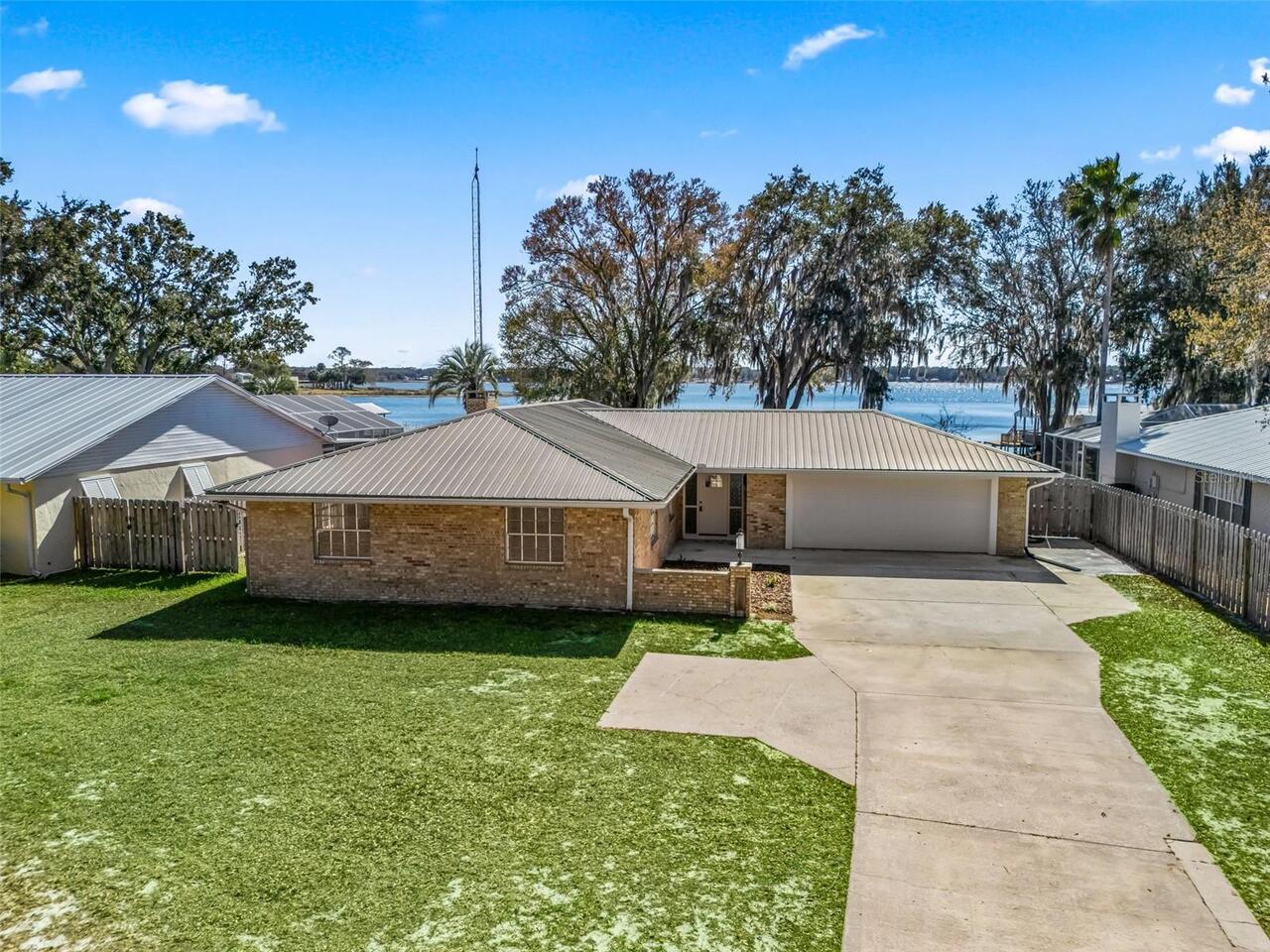
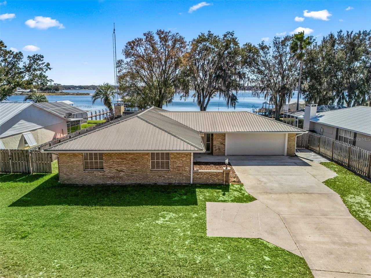
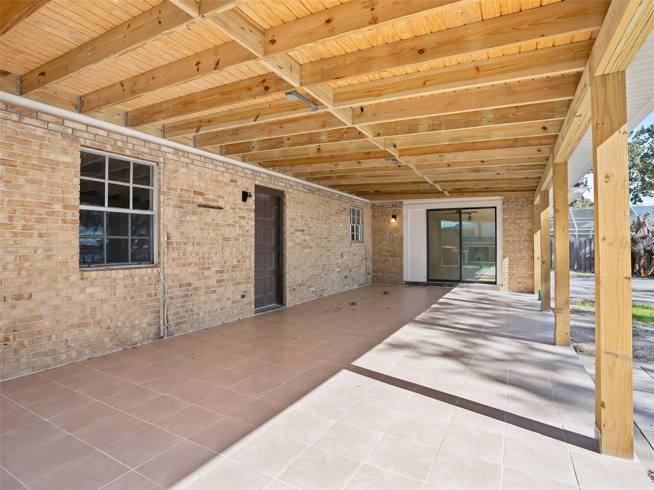
Construction Materials
Brick
Cumulative Days On Market
35
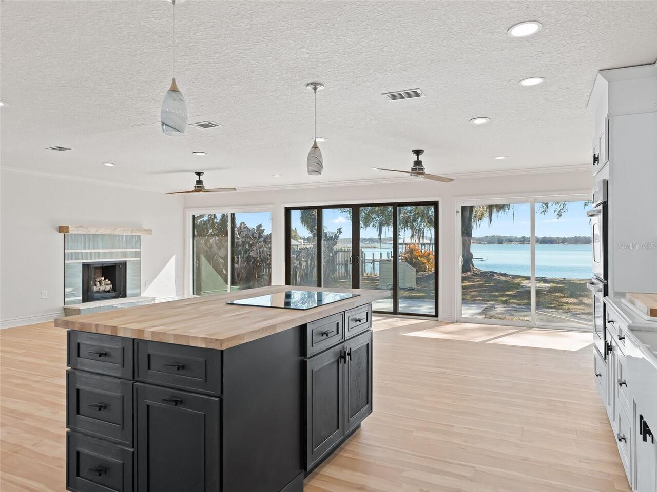
Exterior Features
Private Mailbox, Rain Gutters, Sliding Doors
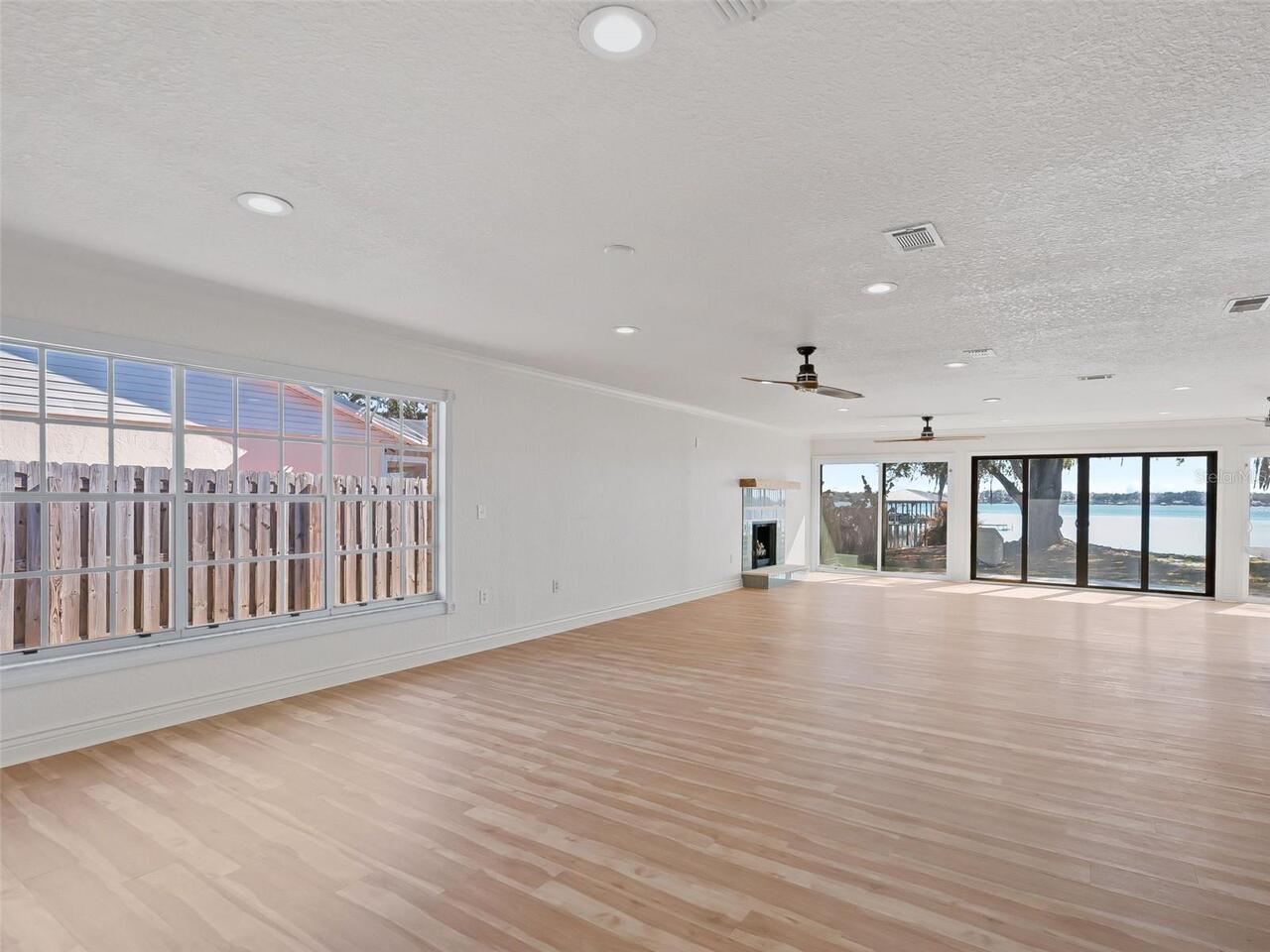
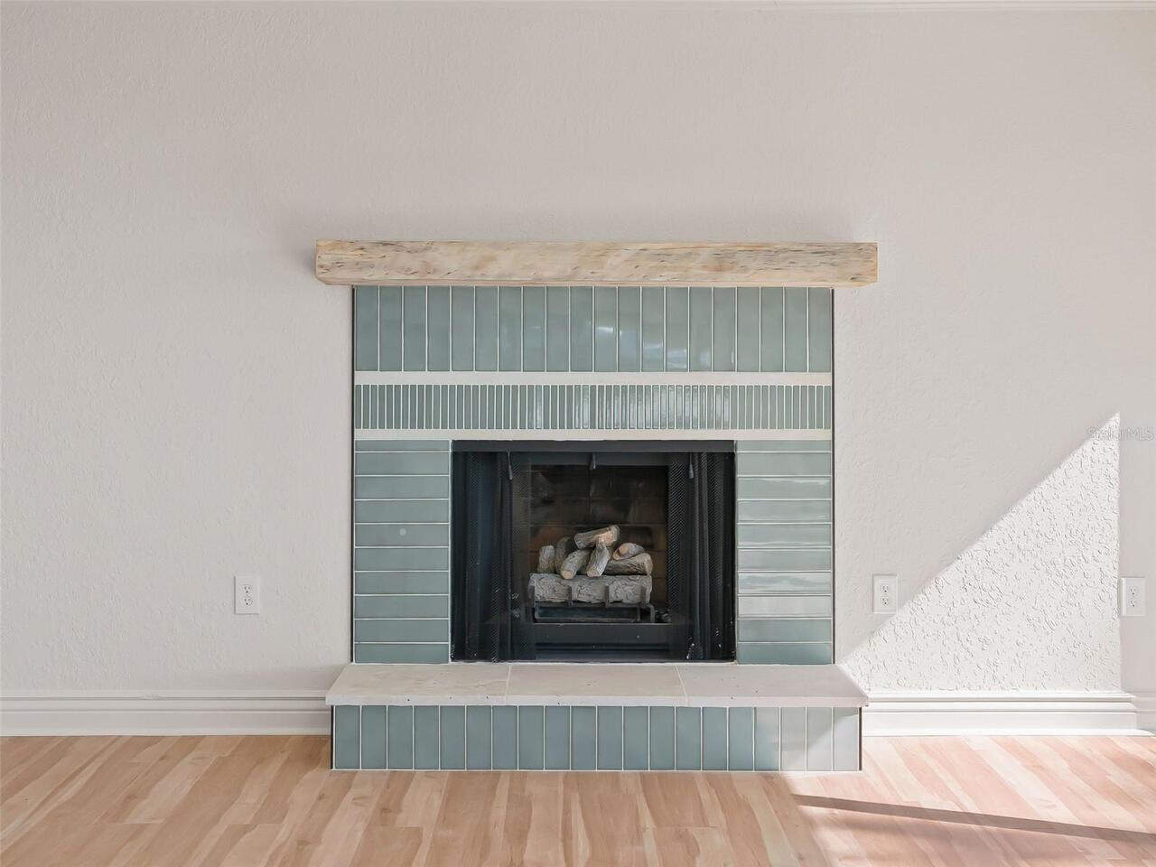
Fireplace Features
Wood Burning
Flood Zone Date
2008-08-28
Flood Zone Panel
12083C0765D
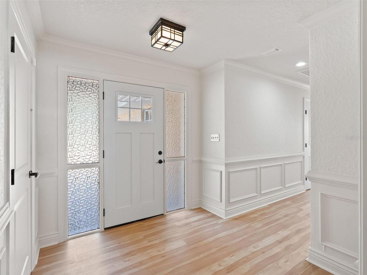
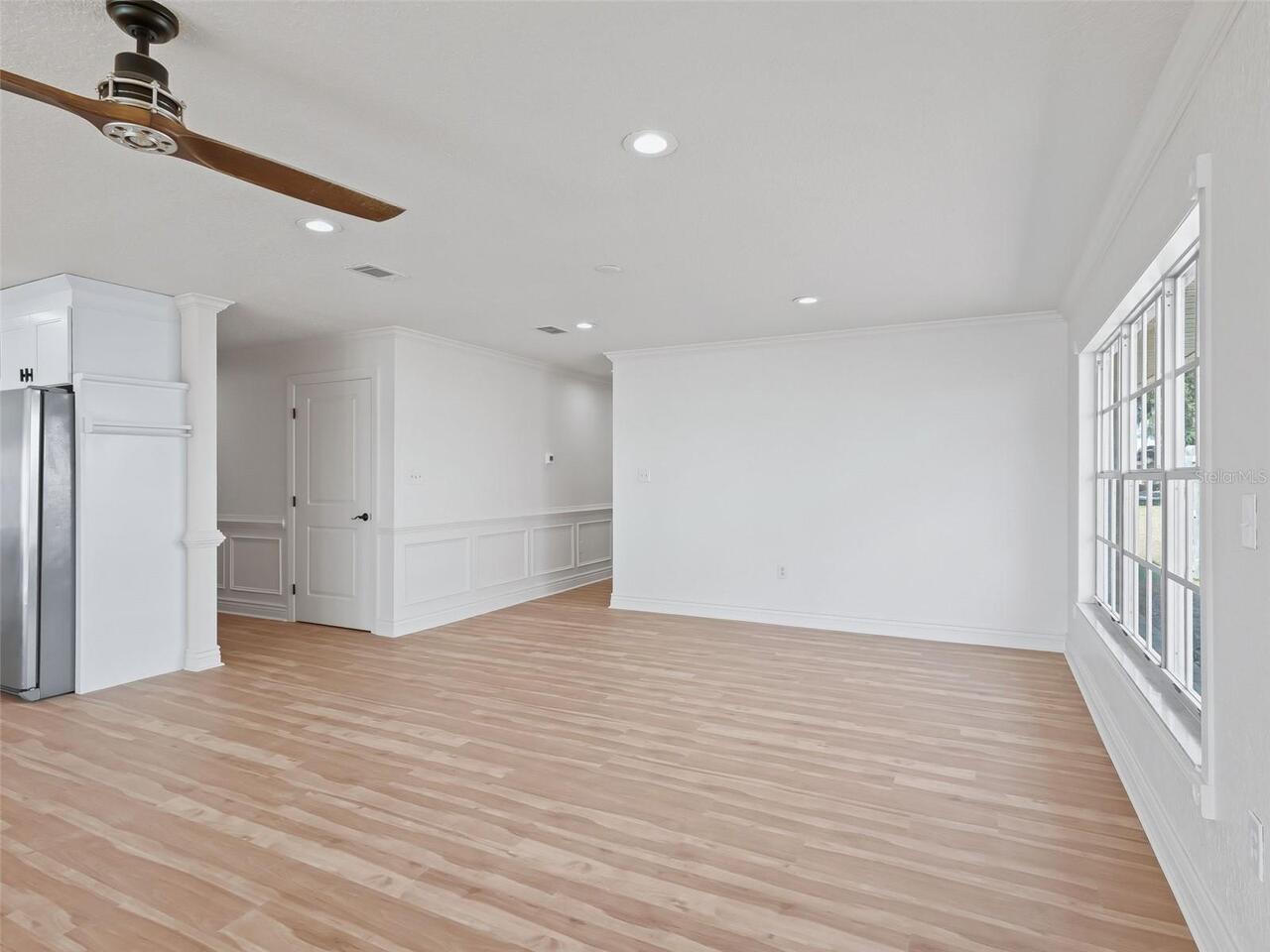
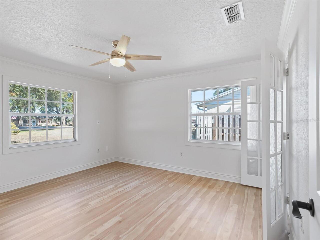
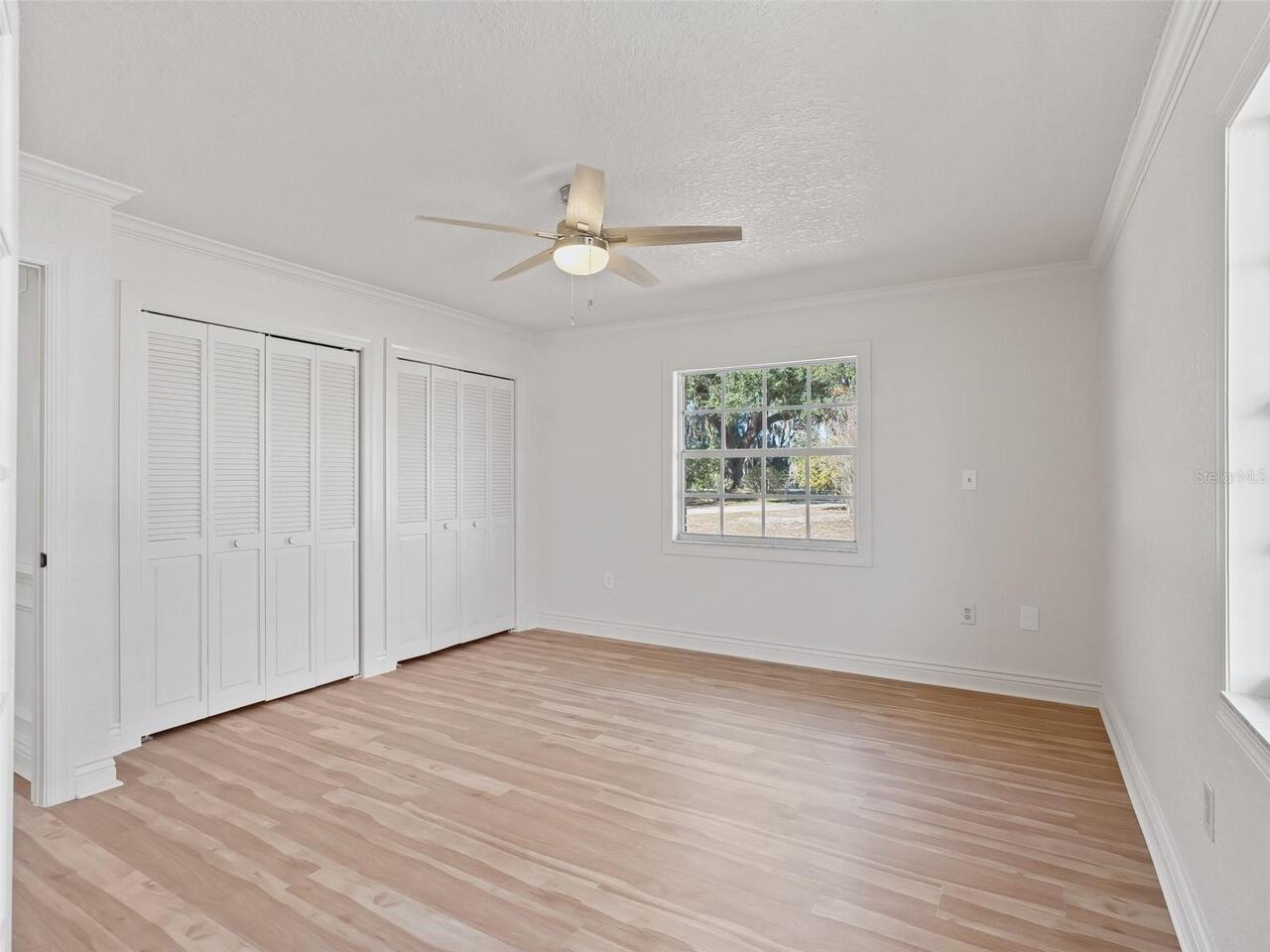
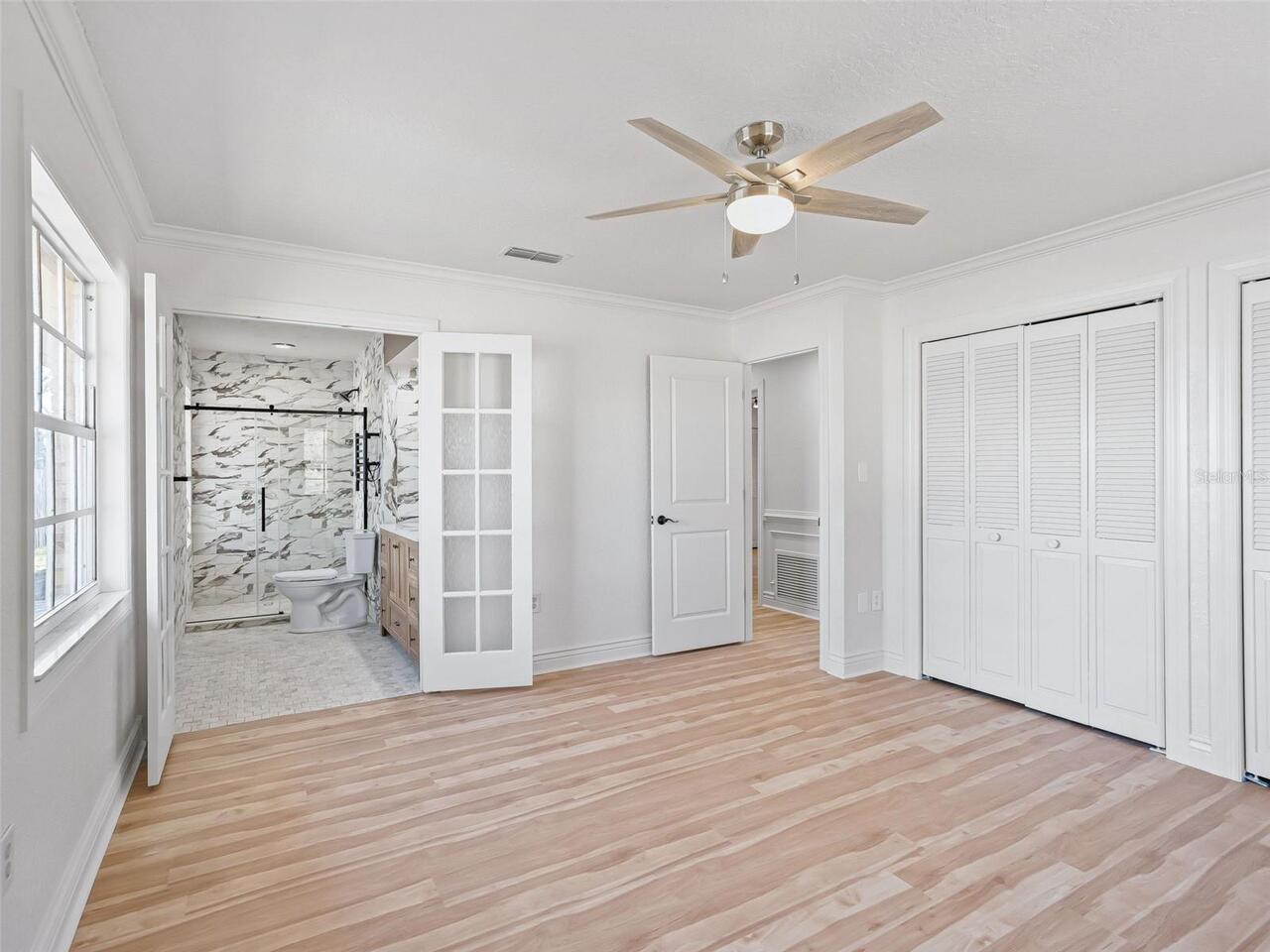
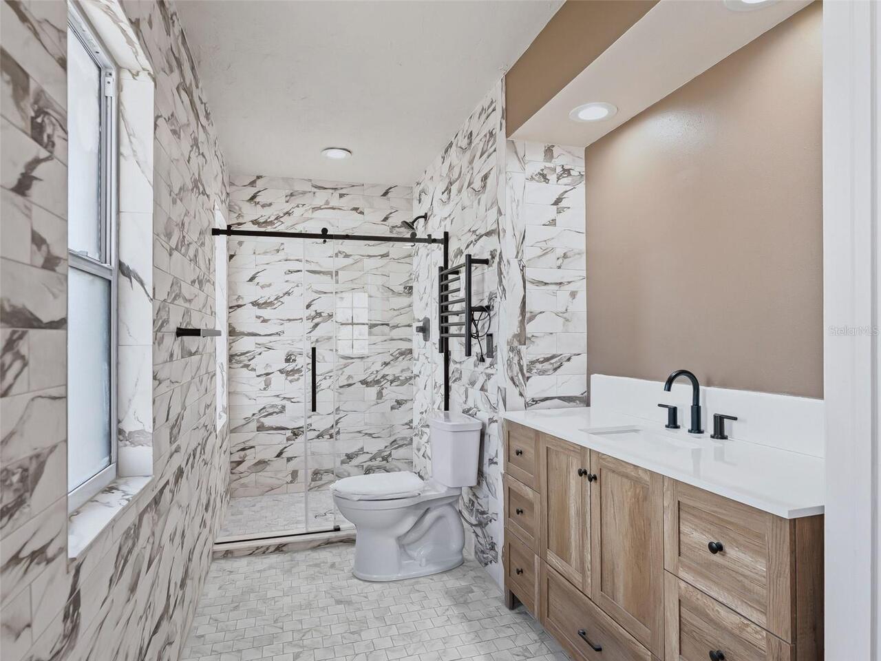
Interior Features
Ceiling Fans(s), Eat-in Kitchen, Living Room/Dining Room Combo, Solid Surface Counters, Walk-In Closet(s)
Internet Address Display YN
true
Internet Automated Valuation Display YN
true
Internet Consumer Comment YN
true
Internet Entire Listing Display YN
true
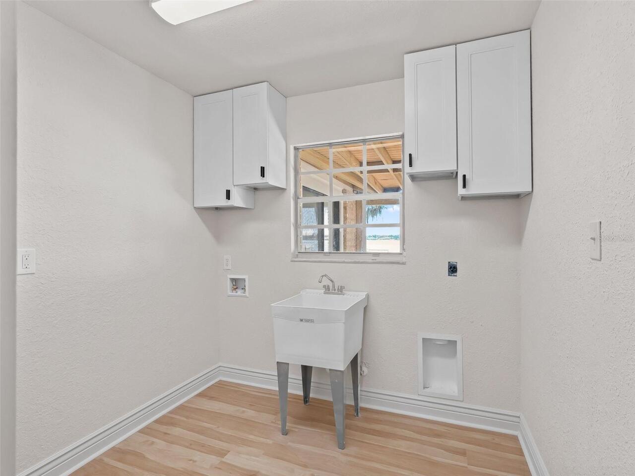
Laundry Features
Electric Dryer Hookup, Inside, Laundry Room, Washer Hookup
Living Area Source
Public Records
Living Area Units
Square Feet
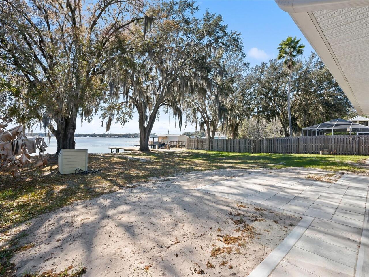
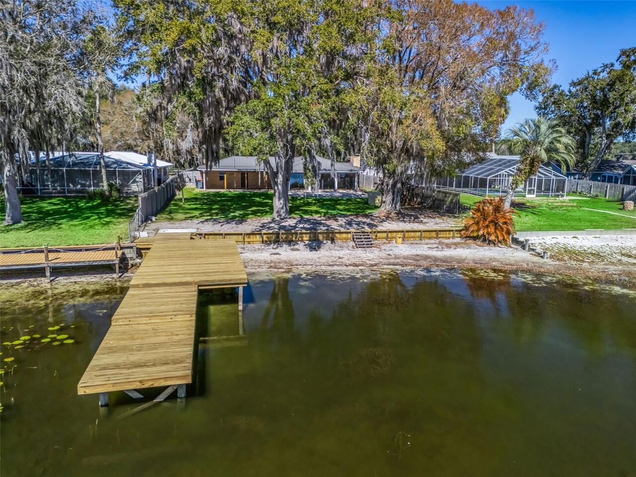
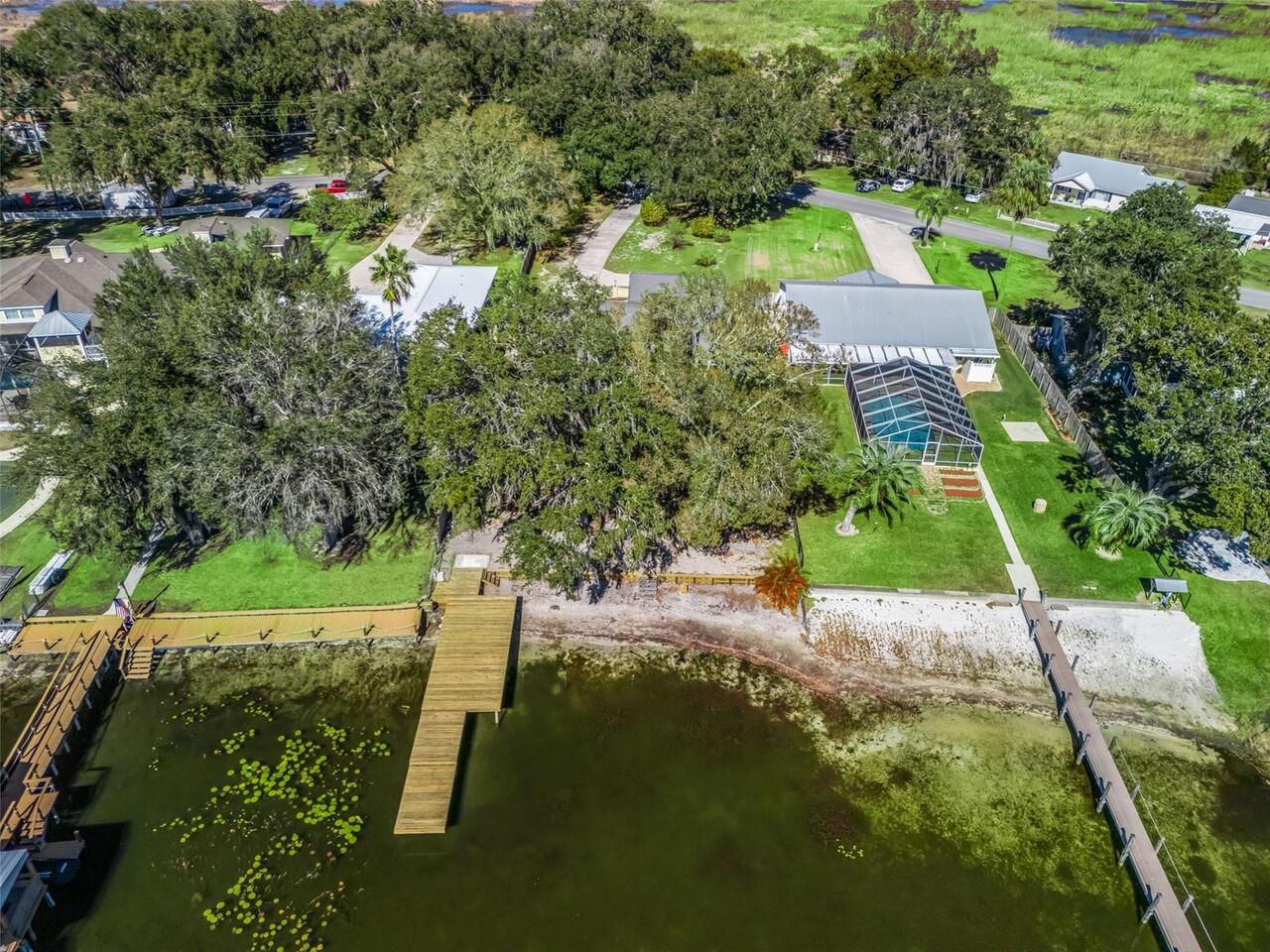
Lot Features
Cleared, Landscaped, Paved
Lot Size Dimensions
80x239
Lot Size Square Feet
19166
Lot Size Square Meters
1781
Modification Timestamp
2026-03-10T11:51:08.951Z
Parcel Number
47772-000-05
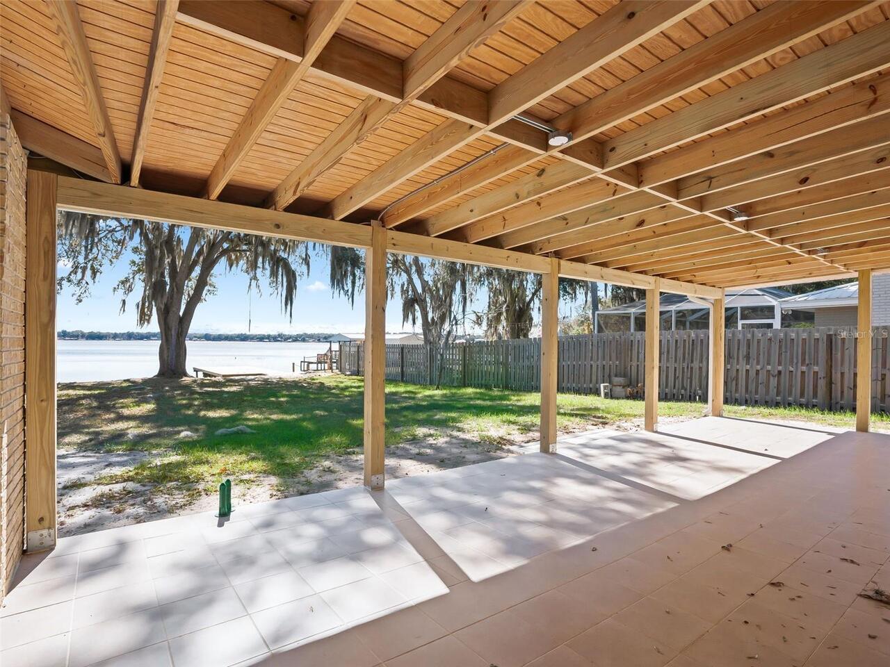
Patio And Porch Features
Covered, Rear Porch
Property Condition
Completed
RATIO Current Price By Calculated SqFt
456.79
Road Surface Type
Asphalt, Paved
Showing Requirements
Appointment Only, Lockbox, See Remarks
Status Change Timestamp
2026-02-03T13:47:27.000Z
Tax Legal Description
SEC 23 TWP 17 RGE 23 PLAT BOOK UNR PAGE 177 WALLACE E JOHNSON JR LOT 5 BEING MORE FULLY DESC AS FOLLOWS: BEGIN AT POINT S 533.97 FT AND E 2198.66 FT FROM NW COR OF NE 1/4 OF SEC 23 THE BEARING OF N BDRY OF NE 1/4 BEING EAST POB BEING ON S LY ROW CURV E OF 50 FT WIDE RD K/A TIMUCUAN RD S LY ROW LINE CURVE BEING CONCAVE SW LY-RAD OF 151.98 FT TH SE LY AL S LY ROW LINE CURVE CHORD BEARING S 76-49-19 E 80.63 FT TH S 6-00-00 W 229.54 FT MORE OR LESS TO 57.40 MEAN SEA LEVEL ELEVATION CONTOUR LINE OF L A KE WEIR TH MEANDERING IN CLOCKWISE DIR AL & WITH 57.40 MEAN SEA LEVEL ELEVATION CONTOUR LINE MEANDER LINE BEARING & DIST OF S 89-41-38 W 80.49 FT TO POINT WHICH IS S 6-00-00 W FROM POB TH N 6-00-00 E 248.45 FT TO POB
Total Acreage
1/4 to less than 1/2
Universal Property Id
US-12083-N-4777200005-R-N
Unparsed Address
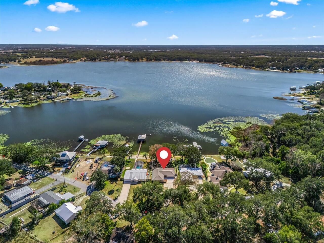
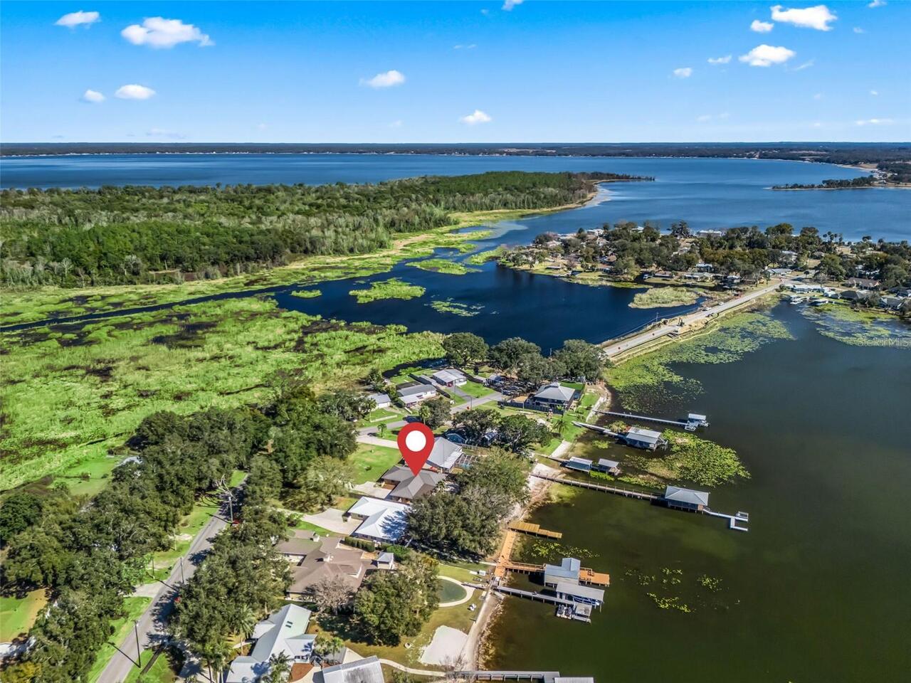
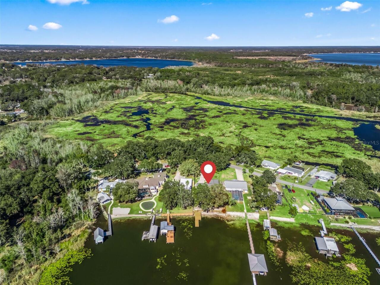
10916 SE TIMUCUAN RD
Utilities
Electricity Connected, Sewer Connected
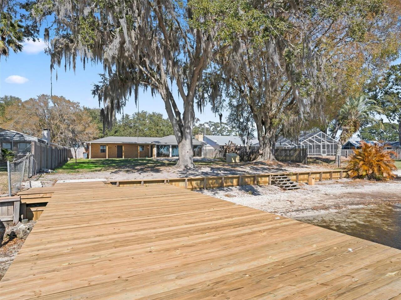
Vegetation
Fruit Trees, Mature Landscaping, Trees/Landscaped
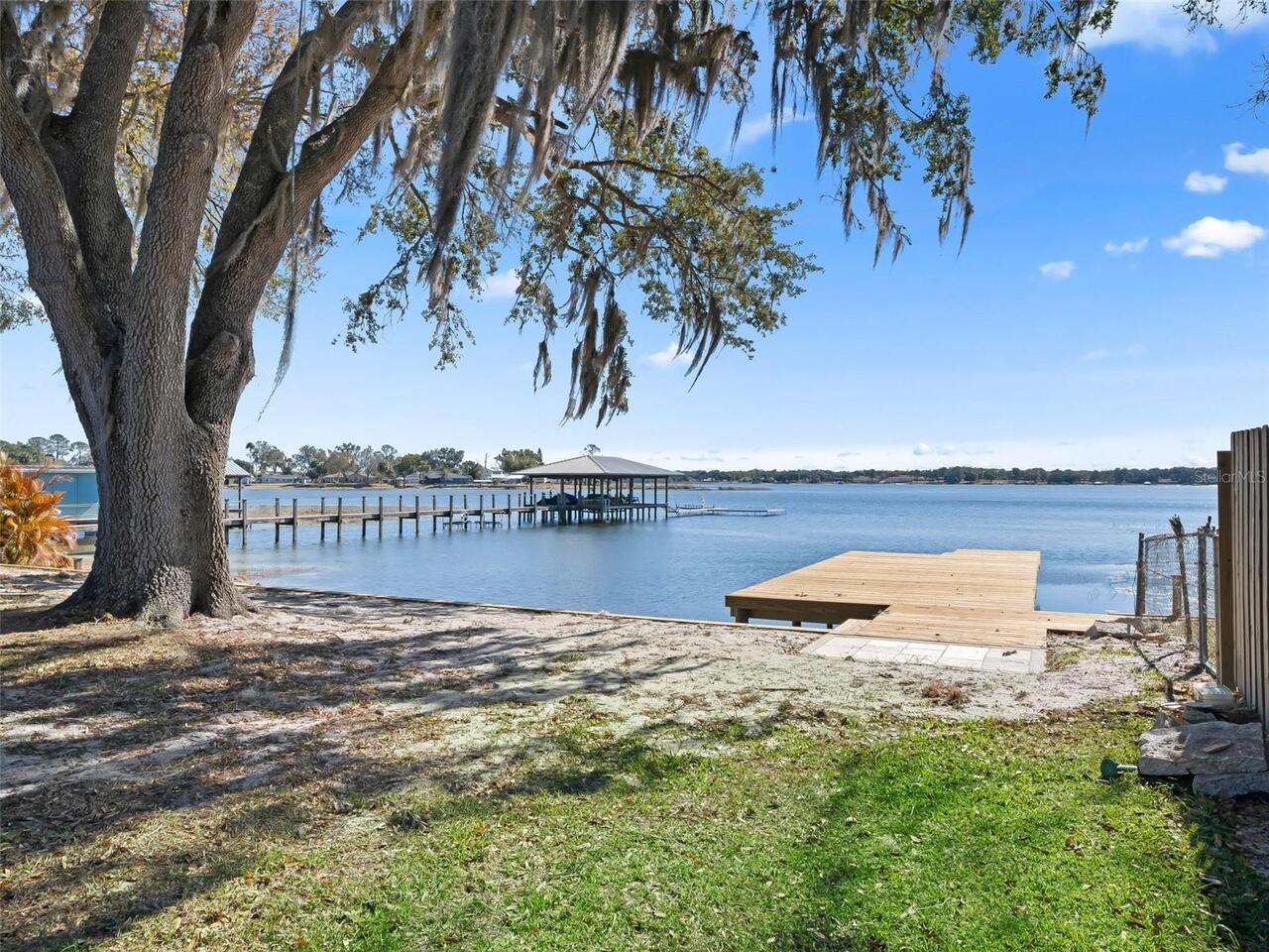
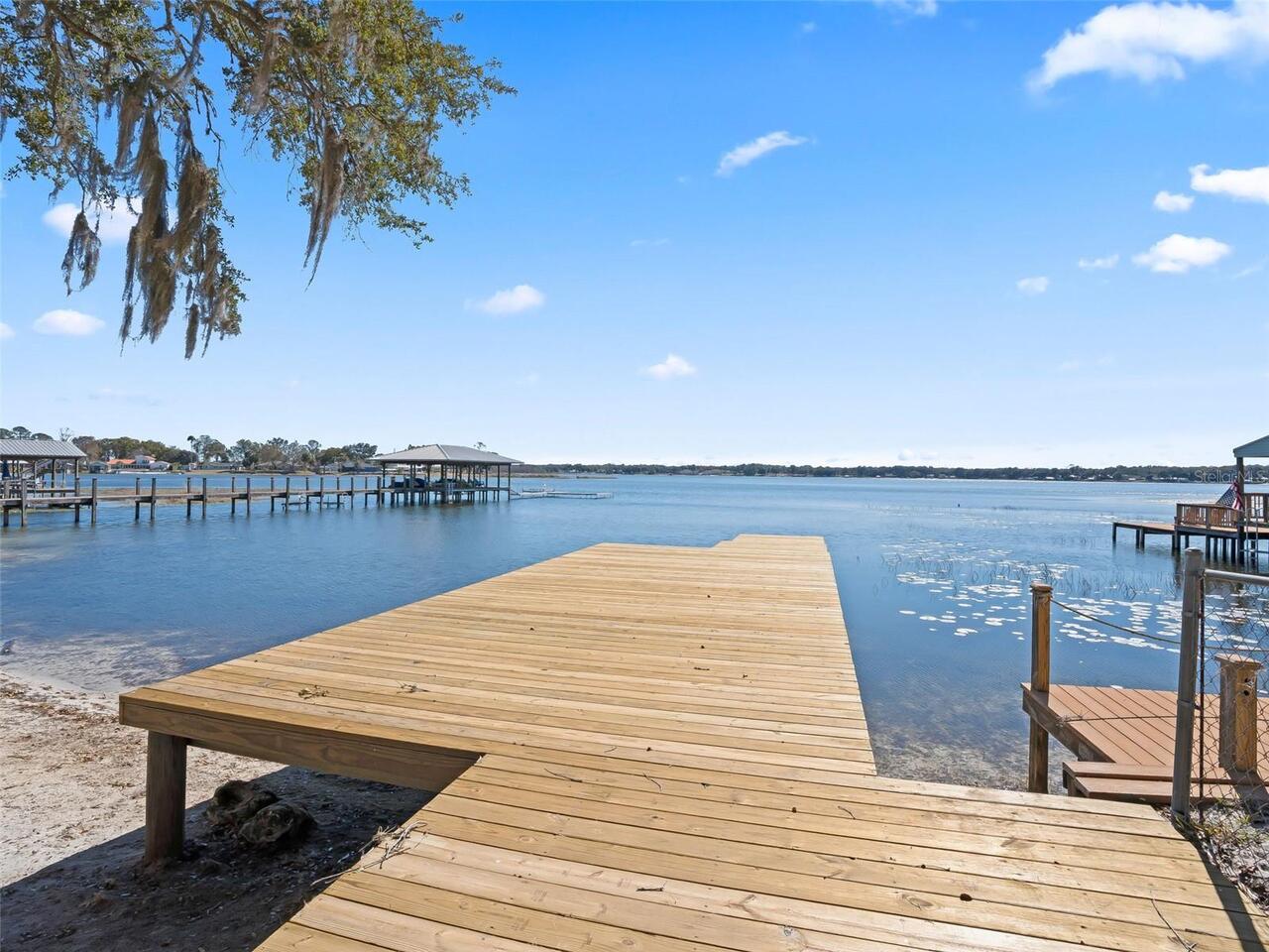
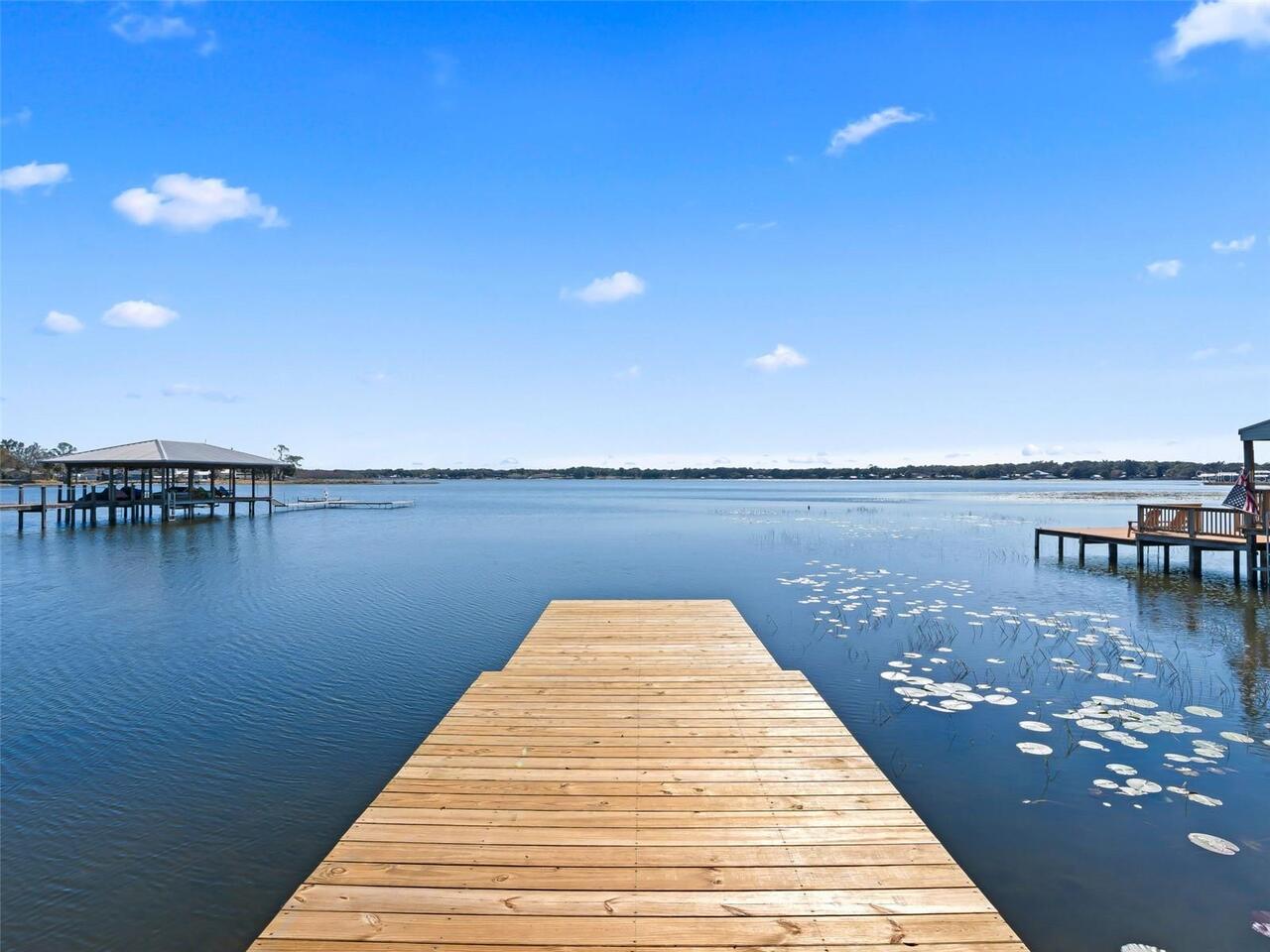
Water Extras
Seawall - Other, Skiing Allowed
Water Frontage Feet Lake
40